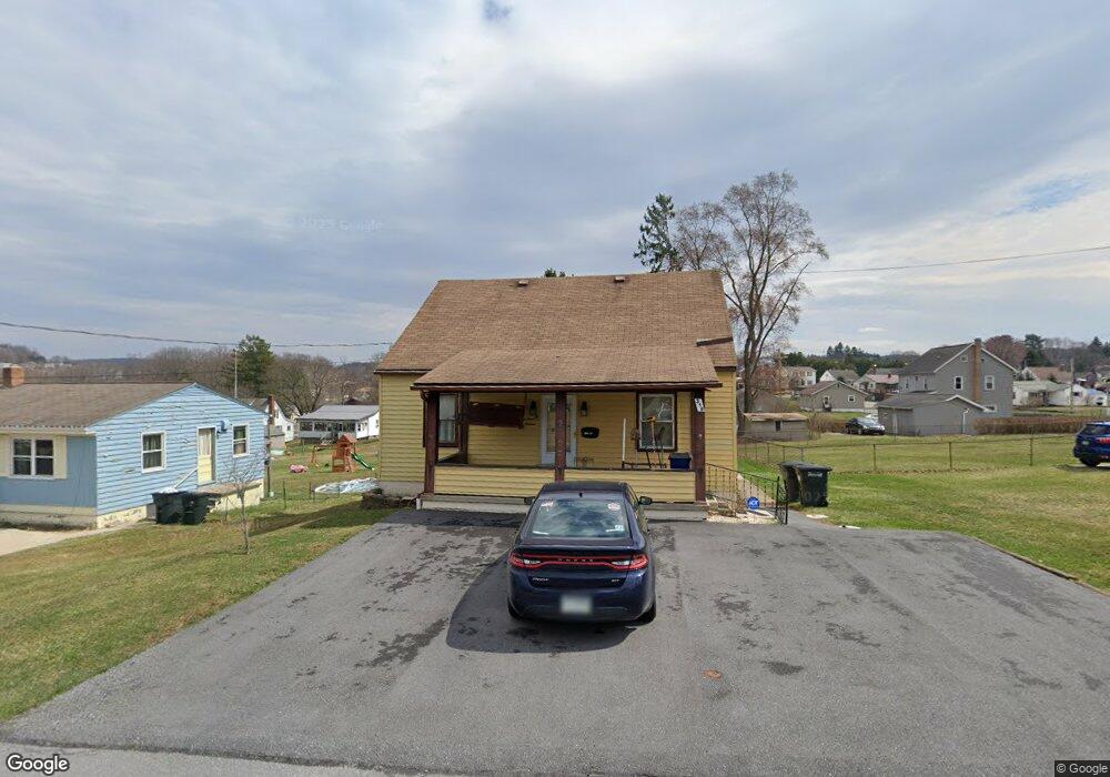
316 Erma St Johnstown, PA 15904
Richland NeighborhoodEstimated Value: $58,844 - $153,000
Studio
--
Bath
--
Sq Ft
5,968
Sq Ft Lot
About This Home
This home is located at 316 Erma St, Johnstown, PA 15904 and is currently estimated at $112,211. 316 Erma St is a home located in Cambria County with nearby schools including Richland Elementary School, Richland High School, and Divine Mercy Catholic Academy.
Ownership History
Date
Name
Owned For
Owner Type
Purchase Details
Closed on
Jun 10, 2021
Sold by
Hunter Daniel and Hunter Christina M
Bought by
Miller Mary A
Current Estimated Value
Purchase Details
Closed on
Jun 28, 2001
Bought by
Miller Christina M and Mary Ann
Create a Home Valuation Report for This Property
The Home Valuation Report is an in-depth analysis detailing your home's value as well as a comparison with similar homes in the area
Home Values in the Area
Average Home Value in this Area
Purchase History
| Date | Buyer | Sale Price | Title Company |
|---|---|---|---|
| Miller Mary A | -- | None Available | |
| Miller Mary A | -- | None Available | |
| Miller Christina M | -- | -- |
Source: Public Records
Tax History
| Year | Tax Paid | Tax Assessment Tax Assessment Total Assessment is a certain percentage of the fair market value that is determined by local assessors to be the total taxable value of land and additions on the property. | Land | Improvement |
|---|---|---|---|---|
| 2025 | $472 | $11,660 | $1,340 | $10,320 |
| 2024 | $1,102 | $11,660 | $1,340 | $10,320 |
| 2023 | $1,072 | $11,660 | $1,340 | $10,320 |
| 2022 | $1,055 | $11,660 | $1,340 | $10,320 |
| 2021 | $1,084 | $11,660 | $1,340 | $10,320 |
| 2020 | $1,084 | $11,660 | $1,340 | $10,320 |
| 2019 | $1,060 | $11,660 | $1,340 | $10,320 |
| 2018 | $1,049 | $11,660 | $1,340 | $10,320 |
| 2017 | $1,055 | $11,660 | $1,340 | $10,320 |
| 2016 | $509 | $11,660 | $1,340 | $10,320 |
| 2015 | $344 | $11,660 | $1,340 | $10,320 |
| 2014 | $344 | $11,660 | $1,340 | $10,320 |
Source: Public Records
Map
Nearby Homes
- 0 Barry James Place
- 2534 Bedford St
- 342 Stonehedge Ct
- 144-145 Western Ave
- #1 Oakridge Springs Unit 1
- #12 Oakridge Springs Unit 12
- 123 Seese Dr
- 1521 Florida Ave
- 721 Greenich St
- 1603 Scott Ave
- 265 View St
- 106 Kring St
- 0 Stonybrook Lane Lot
- 444 Green Valley St
- 1052 Bedford St
- 208 Metzler St
- 4 Campbell Ave
- 0 Oakridge Dr Unit 96036959
- 612 Woodland Ave
- 1231 Erickson Dr
Your Personal Tour Guide
Ask me questions while you tour the home.