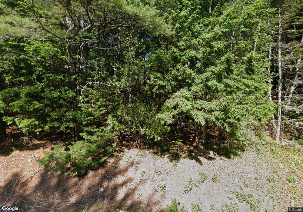
316 Front Ridge Rd Penobscot, ME 04476
Estimated Value: $221,696 - $254,000
--
Bed
--
Bath
1,843
Sq Ft
$128/Sq Ft
Est. Value
About This Home
This home is located at 316 Front Ridge Rd, Penobscot, ME 04476 and is currently estimated at $235,232, approximately $127 per square foot. 316 Front Ridge Rd is a home with nearby schools including Penobscot Elementary School.
Ownership History
Date
Name
Owned For
Owner Type
Purchase Details
Closed on
Sep 23, 2014
Sold by
Mcgrath Deirdre and Margolis Aaron
Bought by
Mcneal Carol Ann
Current Estimated Value
Home Financials for this Owner
Home Financials are based on the most recent Mortgage that was taken out on this home.
Original Mortgage
$80,325
Outstanding Balance
$61,494
Interest Rate
4.14%
Mortgage Type
New Conventional
Estimated Equity
$173,738
Purchase Details
Closed on
Feb 28, 2008
Sold by
Gracie Martha A
Bought by
Bottie Arthur A and Bottie Sally A
Create a Home Valuation Report for This Property
The Home Valuation Report is an in-depth analysis detailing your home's value as well as a comparison with similar homes in the area
Home Values in the Area
Average Home Value in this Area
Purchase History
| Date | Buyer | Sale Price | Title Company |
|---|---|---|---|
| Mcneal Carol Ann | -- | -- | |
| Bottie Arthur A | $1,001 | -- |
Source: Public Records
Mortgage History
| Date | Status | Borrower | Loan Amount |
|---|---|---|---|
| Open | Mcneal Carol Ann | $80,325 |
Source: Public Records
Tax History Compared to Growth
Tax History
| Year | Tax Paid | Tax Assessment Tax Assessment Total Assessment is a certain percentage of the fair market value that is determined by local assessors to be the total taxable value of land and additions on the property. | Land | Improvement |
|---|---|---|---|---|
| 2024 | $1,441 | $129,700 | $38,600 | $91,100 |
| 2023 | $1,355 | $129,700 | $38,600 | $91,100 |
| 2022 | $1,286 | $112,800 | $33,500 | $79,300 |
| 2021 | $1,218 | $112,800 | $33,500 | $79,300 |
| 2020 | $1,173 | $112,800 | $33,500 | $79,300 |
| 2019 | $1,190 | $112,800 | $33,500 | $79,300 |
| 2018 | $1,094 | $112,800 | $33,500 | $79,300 |
| 2017 | $1,342 | $112,800 | $33,500 | $79,300 |
| 2016 | $1,191 | $112,800 | $33,500 | $79,300 |
| 2014 | $180 | $18,500 | $18,500 | $0 |
| 2013 | $168 | $18,500 | $18,500 | $0 |
Source: Public Records
Map
Nearby Homes
- 123 Front Ridge Rd
- M13, L36 Harland Cunningham Rd
- 51 Short Point Way
- 00 Front Ridge Rd
- 155 Long Point Way
- 19 & 23 Skyhawk Way
- Lot #15 Toddy Pond Rd
- 160 Front Ridge Rd
- 26 Jenkins Rd
- M34 L14A Hinckley Ridge
- 43 Back Ridge Rd
- 130 Hartview Cir
- 9 Meadow Brook Ln
- 41 Wildwood Ln
- 94 Southern Bay Rd
- MAP13LOT21 Maine 199
- 142 Southern Bay Rd
- 99 Southern Bay Rd
- 116 Route 1
- 18-B Back Pasture Ln
- 235 Leach Rd
- 282 Front Ridge Rd
- 60 Honeydew Ln
- 291 Front Ridge Rd
- Lot 8 Route 15
- 398 Front Ridge Rd
- 391 Front Ridge Rd
- 121 Evergreen Way
- TBD Route 15 Hwy
- 211 Front Ridge Rd
- 121 Dorr Rd
- 450 Front Ridge Rd
- 113 Dorr Rd
- 192 Front Ridge Rd
- 460 Front Ridge Rd
- 183 Front Ridge Rd
- 86 Evergreen Way
- 468 Front Ridge Rd
- 468 Front Front Ridge Rd
- MAP16LOT3 Dorr Rd
