316 Gray Shingle Ln Woodstock, GA 30189
Estimated Value: $561,407 - $563,000
4
Beds
3
Baths
2,944
Sq Ft
$191/Sq Ft
Est. Value
About This Home
This home is located at 316 Gray Shingle Ln, Woodstock, GA 30189 and is currently estimated at $562,204, approximately $190 per square foot. 316 Gray Shingle Ln is a home located in Cherokee County with nearby schools including Woodstock Elementary School, Woodstock Middle School, and Woodstock High School.
Ownership History
Date
Name
Owned For
Owner Type
Purchase Details
Closed on
Nov 1, 2010
Sold by
Ameris Bk
Bought by
Lester Benjamin T and Lester Eva
Current Estimated Value
Home Financials for this Owner
Home Financials are based on the most recent Mortgage that was taken out on this home.
Original Mortgage
$180,500
Outstanding Balance
$118,522
Interest Rate
4.33%
Mortgage Type
New Conventional
Estimated Equity
$443,682
Purchase Details
Closed on
Aug 2, 2010
Sold by
Federal Deposit Ins Corp
Bought by
Ameris Bk
Purchase Details
Closed on
Jun 10, 2010
Sold by
Dupree Station Llc
Bought by
Bank Of Woodstock
Purchase Details
Closed on
Jun 3, 2008
Sold by
Oakwood Homes Llc
Bought by
Bank Of Woodstock
Create a Home Valuation Report for This Property
The Home Valuation Report is an in-depth analysis detailing your home's value as well as a comparison with similar homes in the area
Home Values in the Area
Average Home Value in this Area
Purchase History
| Date | Buyer | Sale Price | Title Company |
|---|---|---|---|
| Lester Benjamin T | $190,000 | -- | |
| Ameris Bk | -- | -- | |
| Bank Of Woodstock | -- | -- | |
| Bank Of Woodstock | -- | -- | |
| Bank Of Woodstock | $350,000 | -- |
Source: Public Records
Mortgage History
| Date | Status | Borrower | Loan Amount |
|---|---|---|---|
| Open | Lester Benjamin T | $180,500 |
Source: Public Records
Tax History Compared to Growth
Tax History
| Year | Tax Paid | Tax Assessment Tax Assessment Total Assessment is a certain percentage of the fair market value that is determined by local assessors to be the total taxable value of land and additions on the property. | Land | Improvement |
|---|---|---|---|---|
| 2025 | $5,252 | $226,520 | $39,600 | $186,920 |
| 2024 | $5,205 | $225,960 | $39,600 | $186,360 |
| 2023 | $4,903 | $232,280 | $39,600 | $192,680 |
| 2022 | $4,847 | $206,240 | $39,600 | $166,640 |
| 2021 | $4,579 | $177,120 | $39,600 | $137,520 |
| 2020 | $4,278 | $163,960 | $29,600 | $134,360 |
| 2019 | $4,173 | $159,440 | $28,000 | $131,440 |
| 2018 | $3,940 | $148,680 | $32,000 | $116,680 |
| 2017 | $4,001 | $375,300 | $32,000 | $118,120 |
| 2016 | $3,909 | $361,800 | $40,000 | $104,720 |
| 2015 | $3,867 | $353,200 | $40,000 | $101,280 |
| 2014 | $2,965 | $257,400 | $14,800 | $88,160 |
Source: Public Records
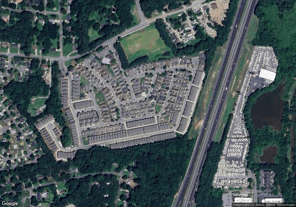
Map
Nearby Homes
- 114 Batten Board Way
- 306 Gray Shingle Ln
- 108 Batten Board Way
- 648 Stickley Oak Way
- 687 Stickley Oak Way
- 685 Stickley Oak Way
- 322 Gray Shingle Ln
- 756 Stickley Oak Way
- The Seaside B Plan at The Village at Towne Lake
- The Seaside A Plan at The Village at Towne Lake
- 89 Batten Board Way
- 109 Village Green Ave
- 930 Kings Ct
- 865 Cherrydale Ln
- 574 Brashy St
- 467 Chandler Ln
- 578 Brashy St
- 463 Chandler Ln
- 583 S Club Dr
- 591 Brashy St
- 318 Gray Shingle Ln
- 318 Gray Shingle Ln Unit 58B
- 119 Batten Board Way
- 115 Board Way
- 310 Gray Shingle Ln Unit 194
- 310 Gray Shingle Ln
- 400 Falling Water Ave
- 123 Board Walk
- 123 Batten Board Way Unit 210
- 123 Batten Board Way
- 125 Batten Board Way Unit 211
- 125 Batten Board Way
- 113 Batten Board Way Unit 205
- 113 Batten Board Way
- 127 Batten Board Way
- 307 Gray Shingle Ln
- 129 Batten Board Way
- 406 Falling Water Ave
- 306 Gray Shingle Ln Unit 196
- 322 Gray Shingle Ln