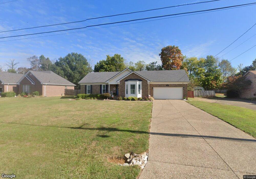
316 Harding Dr Mount Washington, KY 40047
Estimated Value: $259,120 - $297,000
3
Beds
2
Baths
1,335
Sq Ft
$209/Sq Ft
Est. Value
About This Home
This home is located at 316 Harding Dr, Mount Washington, KY 40047 and is currently estimated at $279,530, approximately $209 per square foot. 316 Harding Dr is a home located in Bullitt County with nearby schools including Crossroads Elementary School, Mt. Washington Middle School, and Bullitt East High School.
Ownership History
Date
Name
Owned For
Owner Type
Purchase Details
Closed on
Jul 15, 2020
Sold by
Vaughn and Joseph
Bought by
Gollar Stephanie M
Current Estimated Value
Home Financials for this Owner
Home Financials are based on the most recent Mortgage that was taken out on this home.
Original Mortgage
$168,000
Outstanding Balance
$148,971
Interest Rate
3.1%
Mortgage Type
New Conventional
Estimated Equity
$130,559
Create a Home Valuation Report for This Property
The Home Valuation Report is an in-depth analysis detailing your home's value as well as a comparison with similar homes in the area
Home Values in the Area
Average Home Value in this Area
Purchase History
| Date | Buyer | Sale Price | Title Company |
|---|---|---|---|
| Gollar Stephanie M | $210,000 | Tichenor & Satterly Pllc |
Source: Public Records
Mortgage History
| Date | Status | Borrower | Loan Amount |
|---|---|---|---|
| Open | Gollar Stephanie M | $168,000 |
Source: Public Records
Tax History Compared to Growth
Tax History
| Year | Tax Paid | Tax Assessment Tax Assessment Total Assessment is a certain percentage of the fair market value that is determined by local assessors to be the total taxable value of land and additions on the property. | Land | Improvement |
|---|---|---|---|---|
| 2024 | $2,657 | $210,000 | $0 | $210,000 |
| 2023 | $2,640 | $210,000 | $0 | $210,000 |
| 2022 | $2,665 | $210,000 | $0 | $210,000 |
| 2021 | $2,865 | $210,000 | $0 | $0 |
| 2020 | $168 | $171,648 | $0 | $0 |
| 2019 | $2,107 | $171,648 | $0 | $0 |
| 2018 | $1,829 | $144,828 | $0 | $0 |
| 2017 | $1,807 | $144,828 | $0 | $0 |
| 2016 | $1,780 | $144,828 | $0 | $0 |
| 2015 | $1,537 | $144,828 | $0 | $0 |
| 2014 | $1,605 | $144,828 | $0 | $0 |
Source: Public Records
Map
Nearby Homes
- Tract 2 Landis Ln
- 272 Pierce Ave
- 112 Benjamin Place
- 172 Benjamin Place
- 123 Louis Ln
- 178 1st St
- 249 Lynnwood Dr
- 267 Louis Ln
- 430 Benjamin Place
- 398 Georgia Ave
- 147 Stout St
- 137 Meadow Park Ct
- 131 Stout St
- 192 Stone Meadow Dr
- 212 Georgia Ave
- 214 Spencer Ln
- 465 Meadowcrest Dr
- 500 Justin Trail
- Lot #98 Bluff's Edge Dr
- Lot 105 Heritage Way