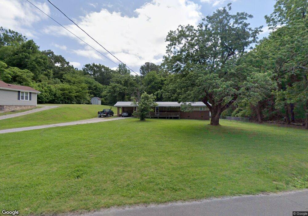
316 Hogan Cir Rossville, GA 30741
Estimated Value: $185,000 - $216,926
2
Beds
2
Baths
1,160
Sq Ft
$174/Sq Ft
Est. Value
About This Home
This home is located at 316 Hogan Cir, Rossville, GA 30741 and is currently estimated at $201,482, approximately $173 per square foot. 316 Hogan Cir is a home located in Walker County with nearby schools including Rossville Elementary School, Rossville Middle School, and Ridgeland High School.
Ownership History
Date
Name
Owned For
Owner Type
Purchase Details
Closed on
Oct 30, 2001
Sold by
Amsouth Bank
Bought by
Motley Jimmy M and Motley Jolene
Current Estimated Value
Purchase Details
Closed on
Mar 2, 1999
Sold by
Grasham Charles E
Bought by
Amsouth Bank
Purchase Details
Closed on
Jun 24, 1994
Sold by
Mccormick Harold I and Mccormick Kita
Bought by
Mullens Stanley T and Mullens Wanda
Purchase Details
Closed on
Jul 19, 1978
Sold by
Davenport Jack E and Wf Nora
Bought by
Mccormick Harold I and Mccormick Kita
Purchase Details
Closed on
Jul 27, 1967
Bought by
Davenport Jack E and Wf Nora
Create a Home Valuation Report for This Property
The Home Valuation Report is an in-depth analysis detailing your home's value as well as a comparison with similar homes in the area
Home Values in the Area
Average Home Value in this Area
Purchase History
| Date | Buyer | Sale Price | Title Company |
|---|---|---|---|
| Motley Jimmy M | $46,000 | -- | |
| Amsouth Bank | -- | -- | |
| Mullens Stanley T | $45,000 | -- | |
| Grasham Charles E | -- | -- | |
| Mccormick Harold I | -- | -- | |
| Davenport Jack E | -- | -- |
Source: Public Records
Tax History Compared to Growth
Tax History
| Year | Tax Paid | Tax Assessment Tax Assessment Total Assessment is a certain percentage of the fair market value that is determined by local assessors to be the total taxable value of land and additions on the property. | Land | Improvement |
|---|---|---|---|---|
| 2024 | $1,326 | $57,860 | $7,646 | $50,214 |
| 2023 | $1,299 | $55,432 | $7,646 | $47,786 |
| 2022 | $1,182 | $46,231 | $5,098 | $41,133 |
| 2021 | $940 | $32,344 | $5,098 | $27,246 |
| 2020 | $842 | $27,514 | $5,098 | $22,416 |
| 2019 | $857 | $27,514 | $5,098 | $22,416 |
| 2018 | $678 | $25,615 | $5,098 | $20,517 |
| 2017 | $876 | $25,615 | $5,098 | $20,517 |
| 2016 | $601 | $19,264 | $5,098 | $14,166 |
| 2015 | $778 | $24,887 | $5,940 | $18,947 |
| 2014 | $694 | $24,941 | $5,940 | $19,001 |
| 2013 | -- | $24,940 | $5,940 | $19,000 |
Source: Public Records
Map
Nearby Homes
- 141 Hogan Rd
- 0 Summit St Unit 1514634
- 189 Leinbach Rd
- 127 Summitt St
- 0 S Mission Ridge Dr Unit 1504695
- 0 Miami Ave Unit 1505680
- 39 Clift Trail
- 71 Georgia Terrace
- 0 Dempsey Ln Unit 1504691
- 0 Clift Trail Unit 1502212
- 164 S Mission Ridge Dr
- 405 Miami Ave
- 515 Hogan Rd
- 301 Dempsey Ln
- Lot 81 Battle Bluff Dr
- Lot 80 Battle Bluff Dr
- Lot 79 Battle Bluff Dr
- 115 Beech St