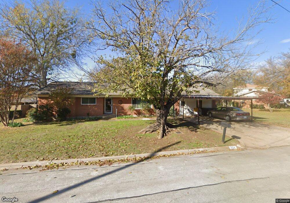
316 Mae Dr Justin, TX 76247
Estimated Value: $305,798 - $389,000
Studio
1
Bath
2,272
Sq Ft
$155/Sq Ft
Est. Value
About This Home
This home is located at 316 Mae Dr, Justin, TX 76247 and is currently estimated at $353,200, approximately $155 per square foot. 316 Mae Dr is a home located in Denton County with nearby schools including Justin Elementary School, Gene Pike Middle School, and Northwest High School.
Ownership History
Date
Name
Owned For
Owner Type
Purchase Details
Closed on
Dec 29, 2006
Sold by
Hud
Bought by
Adams Nancy D
Current Estimated Value
Home Financials for this Owner
Home Financials are based on the most recent Mortgage that was taken out on this home.
Original Mortgage
$89,000
Outstanding Balance
$53,363
Interest Rate
6.27%
Mortgage Type
Purchase Money Mortgage
Estimated Equity
$299,837
Purchase Details
Closed on
Apr 10, 2006
Sold by
First Horizon Home Loan Corp
Bought by
Hud
Purchase Details
Closed on
Apr 4, 2006
Sold by
Carter Traci and Carter Ty M
Bought by
First Horizon Home Loan Corp
Purchase Details
Closed on
Jul 31, 2001
Sold by
Lobsinger Michael Wayne and Fergason Rhonda Sue
Bought by
Carter Ty M and Carter Traci
Home Financials for this Owner
Home Financials are based on the most recent Mortgage that was taken out on this home.
Original Mortgage
$88,711
Interest Rate
7.05%
Mortgage Type
FHA
Create a Home Valuation Report for This Property
The Home Valuation Report is an in-depth analysis detailing your home's value as well as a comparison with similar homes in the area
Home Values in the Area
Average Home Value in this Area
Purchase History
| Date | Buyer | Sale Price | Title Company |
|---|---|---|---|
| Adams Nancy D | $89,000 | None Available | |
| Hud | -- | None Available | |
| First Horizon Home Loan Corp | $89,263 | None Available | |
| Carter Ty M | -- | -- |
Source: Public Records
Mortgage History
| Date | Status | Borrower | Loan Amount |
|---|---|---|---|
| Open | Adams Nancy D | $89,000 | |
| Previous Owner | Carter Ty M | $88,711 |
Source: Public Records
Tax History
| Year | Tax Paid | Tax Assessment Tax Assessment Total Assessment is a certain percentage of the fair market value that is determined by local assessors to be the total taxable value of land and additions on the property. | Land | Improvement |
|---|---|---|---|---|
| 2025 | $883 | $217,130 | $103,050 | $132,440 |
| 2024 | $3,762 | $197,391 | $0 | $0 |
| 2023 | $883 | $179,446 | $113,355 | $130,591 |
| 2022 | $3,463 | $163,133 | $57,021 | $106,112 |
| 2021 | $3,504 | $151,651 | $43,281 | $108,370 |
| 2020 | $3,122 | $136,037 | $29,541 | $106,496 |
| 2019 | $3,231 | $136,603 | $29,541 | $107,062 |
| 2018 | $3,164 | $133,054 | $29,541 | $103,513 |
| 2017 | $3,044 | $128,935 | $29,541 | $99,394 |
| 2016 | $2,777 | $117,639 | $23,096 | $94,543 |
| 2015 | $2,232 | $110,890 | $23,096 | $87,794 |
| 2013 | -- | $108,443 | $23,096 | $85,347 |
Source: Public Records
Map
Nearby Homes
- 319 S Jackson Ave
- 204 Ovaletta Dr
- 232 Windmill Dr
- 253 Pine Crest Dr
- 222 Windmill Dr
- 265 Hilltop Dr
- 268 Hilltop Dr
- 414 W 4th St
- 0 Downe Rd
- 217 Cedar Crest Dr
- 244 Ovaletta Dr
- 101 Forest Ln
- 603 N Denton Ave
- 402 W 6th St
- 605 N Snyder Ave
- 103 Northampton Dr
- TBD Downe Rd
- 207 W 7th St
- 205 W 7th St
- 114 Northampton Dr
Your Personal Tour Guide
Ask me questions while you tour the home.