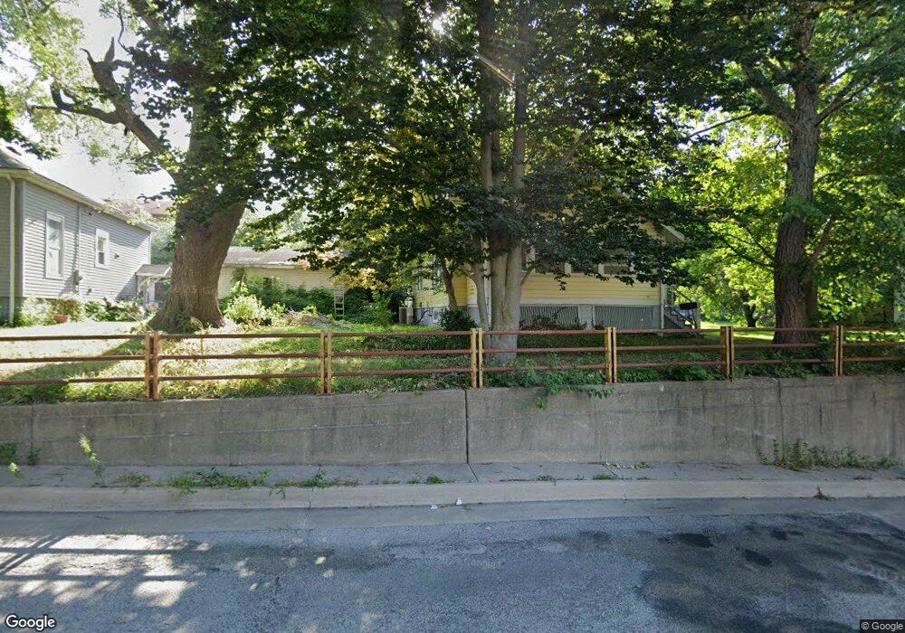
316 N Grant St Clinton, IL 61727
Estimated Value: $109,000 - $126,000
4
Beds
1
Bath
2,016
Sq Ft
$58/Sq Ft
Est. Value
About This Home
This home is located at 316 N Grant St, Clinton, IL 61727 and is currently estimated at $116,476, approximately $57 per square foot. 316 N Grant St is a home located in De Witt County with nearby schools including Clinton High School and Clinton Christian Academy.
Ownership History
Date
Name
Owned For
Owner Type
Purchase Details
Closed on
May 17, 2011
Sold by
Rybolt Ann H and Doyen Harrington Marguerite Anne
Bought by
Walker Emily N and Glock Jr. Larry D
Current Estimated Value
Home Financials for this Owner
Home Financials are based on the most recent Mortgage that was taken out on this home.
Original Mortgage
$66,000
Outstanding Balance
$3,853
Interest Rate
4.02%
Estimated Equity
$112,623
Create a Home Valuation Report for This Property
The Home Valuation Report is an in-depth analysis detailing your home's value as well as a comparison with similar homes in the area
Home Values in the Area
Average Home Value in this Area
Purchase History
| Date | Buyer | Sale Price | Title Company |
|---|---|---|---|
| Walker Emily N | $70,000 | -- |
Source: Public Records
Mortgage History
| Date | Status | Borrower | Loan Amount |
|---|---|---|---|
| Open | Walker Emily N | $66,000 |
Source: Public Records
Tax History Compared to Growth
Tax History
| Year | Tax Paid | Tax Assessment Tax Assessment Total Assessment is a certain percentage of the fair market value that is determined by local assessors to be the total taxable value of land and additions on the property. | Land | Improvement |
|---|---|---|---|---|
| 2024 | $1,896 | $30,265 | $5,896 | $24,369 |
| 2023 | $1,732 | $27,564 | $5,370 | $22,194 |
| 2022 | $1,631 | $26,004 | $5,066 | $20,938 |
| 2021 | $1,579 | $25,246 | $4,918 | $20,328 |
| 2020 | $1,640 | $25,246 | $4,918 | $20,328 |
| 2019 | $1,650 | $25,246 | $4,918 | $20,328 |
| 2018 | $1,597 | $24,655 | $4,803 | $19,852 |
| 2017 | $1,559 | $23,986 | $4,618 | $19,368 |
| 2016 | $1,522 | $23,515 | $4,527 | $18,988 |
| 2015 | $1,472 | $23,515 | $4,527 | $18,988 |
| 2014 | $1,472 | $23,515 | $4,527 | $18,988 |
| 2013 | -- | $23,515 | $4,527 | $18,988 |
Source: Public Records
Map
Nearby Homes
- 109 W Macon St
- 505 N Center St
- 606 N Center St
- 212 N Linden St
- 727 N Grant St
- 120 W Cherry St
- 402 N Madison St
- 303 S Elm St
- 619 N Madison St
- 723 N Madison St
- 212 E Jefferson St
- 601 E Webster St
- 708 E Washington St
- 46 Park Ln
- 8824 Sunset Rd
- 701 S Cain St
- 1102 E Van Buren St
- 1026 State Route 10 E
- 68 Somerset Dr
- 31 Colonial Dr
- 308 N Grant St
- 316 W Johnson St
- 320 W Johnson St
- 300 N Grant St
- 307 N Grant St
- 311 N Jackson St
- 321 N Grant St
- 321 N Jackson St
- 315 N Jackson St
- 315 N Grant St Unit 315 North Grant Stre
- 311 N Grant St
- 305 N Jackson St
- 319 W Johnson St
- 408 N Grant St
- 223 N Jackson St
- 405 N Jackson St
- 403 W Johnson St
- 307 W Johnson St
- 221 N Grant St
- 407 W Johnson St