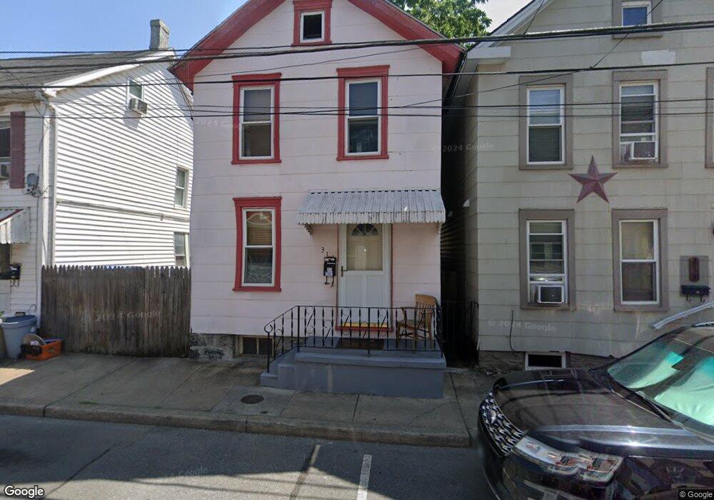
316 N Locust St Hagerstown, MD 21740
Central NeighborhoodEstimated Value: $130,904 - $161,000
3
Beds
1
Bath
1,158
Sq Ft
$129/Sq Ft
Est. Value
About This Home
This home is located at 316 N Locust St, Hagerstown, MD 21740 and is currently estimated at $148,976, approximately $128 per square foot. 316 N Locust St is a home located in Washington County with nearby schools including Ruth Ann Monroe Primary School, Eastern Elementary School, and Northern Middle School.
Ownership History
Date
Name
Owned For
Owner Type
Purchase Details
Closed on
May 28, 2003
Sold by
Moffitt Karan L
Bought by
Scott Karan L
Current Estimated Value
Purchase Details
Closed on
Jul 23, 1987
Sold by
Resuta Raymond G
Bought by
Moffitt Karan L
Home Financials for this Owner
Home Financials are based on the most recent Mortgage that was taken out on this home.
Original Mortgage
$27,400
Interest Rate
10.23%
Purchase Details
Closed on
Sep 9, 1982
Sold by
Smith Samuel E
Bought by
Resuta Raymond G
Home Financials for this Owner
Home Financials are based on the most recent Mortgage that was taken out on this home.
Original Mortgage
$26,500
Interest Rate
15.59%
Create a Home Valuation Report for This Property
The Home Valuation Report is an in-depth analysis detailing your home's value as well as a comparison with similar homes in the area
Home Values in the Area
Average Home Value in this Area
Purchase History
| Date | Buyer | Sale Price | Title Company |
|---|---|---|---|
| Scott Karan L | -- | -- | |
| Moffitt Karan L | $27,400 | -- | |
| Resuta Raymond G | $26,500 | -- |
Source: Public Records
Mortgage History
| Date | Status | Borrower | Loan Amount |
|---|---|---|---|
| Previous Owner | Moffitt Karan L | $27,400 | |
| Previous Owner | Resuta Raymond G | $26,500 | |
| Closed | Scott Karan L | -- |
Source: Public Records
Tax History
| Year | Tax Paid | Tax Assessment Tax Assessment Total Assessment is a certain percentage of the fair market value that is determined by local assessors to be the total taxable value of land and additions on the property. | Land | Improvement |
|---|---|---|---|---|
| 2025 | $676 | $100,100 | $20,000 | $80,100 |
| 2024 | $676 | $88,900 | $0 | $0 |
| 2023 | $640 | $77,700 | $0 | $0 |
| 2022 | $606 | $66,500 | $20,000 | $46,500 |
| 2021 | $605 | $65,733 | $0 | $0 |
| 2020 | $605 | $64,967 | $0 | $0 |
| 2019 | $600 | $64,200 | $20,000 | $44,200 |
| 2018 | $597 | $63,867 | $0 | $0 |
| 2017 | $594 | $63,533 | $0 | $0 |
| 2016 | -- | $63,200 | $0 | $0 |
| 2015 | -- | $63,200 | $0 | $0 |
| 2014 | $1,028 | $63,200 | $0 | $0 |
Source: Public Records
Map
Nearby Homes
- 243 N Locust St
- 120 John St
- 337 N Locust St
- 132 Randolph Ave
- 133 Randolph Ave
- 301 N Mulberry St Unit 301303
- 39 E North Ave
- 422 N Locust St
- 207 N Mulberry St
- 142 East Ave
- 212 N Mulberry St
- 53 Broadway
- 119 N Mulberry St
- 22 Bethel St Unit 24
- 200 E Franklin St
- 522 N Mulberry St
- 545 N Mulberry St
- 314 E Franklin St
- 351 Liberty St
- 417 Liberty St
- 314 N Locust St
- 320 N Locust St
- 312 N Locust St
- 310 N Locust St
- 109 John St
- 113 John St
- 324 N Locust St
- 321 N Locust St
- 115 John St
- 317 N Locust St
- 315 N Locust St
- 328 N Locust St
- 325 N Locust St
- 323 N Locust St
- 313 N Locust St
- 108 Randolph Ave
- 330 N Locust St
- 119 John St
- 117 John St
- 309 N Locust St
Your Personal Tour Guide
Ask me questions while you tour the home.