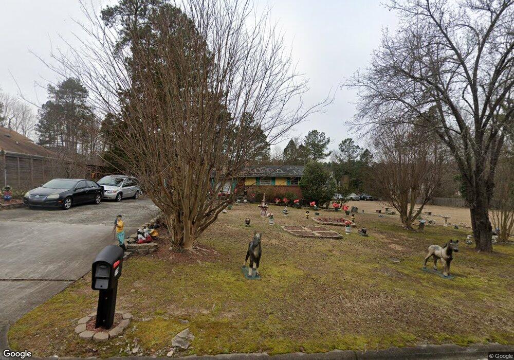
316 Pearson Dr Durham, NC 27713
Woodcroft NeighborhoodEstimated Value: $217,000 - $320,000
3
Beds
1
Bath
858
Sq Ft
$313/Sq Ft
Est. Value
About This Home
This home is located at 316 Pearson Dr, Durham, NC 27713 and is currently estimated at $268,389, approximately $312 per square foot. 316 Pearson Dr is a home located in Durham County with nearby schools including Southwest Elementary School, Morehead Montessori, and Sherwood Githens Middle.
Ownership History
Date
Name
Owned For
Owner Type
Purchase Details
Closed on
Jun 28, 2004
Sold by
Vereen Joe and Vereen Bernette L
Bought by
Edwards Hazelene Yates
Current Estimated Value
Home Financials for this Owner
Home Financials are based on the most recent Mortgage that was taken out on this home.
Original Mortgage
$60,000
Outstanding Balance
$30,034
Interest Rate
6.25%
Mortgage Type
Purchase Money Mortgage
Estimated Equity
$238,355
Create a Home Valuation Report for This Property
The Home Valuation Report is an in-depth analysis detailing your home's value as well as a comparison with similar homes in the area
Home Values in the Area
Average Home Value in this Area
Purchase History
| Date | Buyer | Sale Price | Title Company |
|---|---|---|---|
| Edwards Hazelene Yates | $69,000 | -- |
Source: Public Records
Mortgage History
| Date | Status | Borrower | Loan Amount |
|---|---|---|---|
| Open | Edwards Hazelene Yates | $60,000 |
Source: Public Records
Tax History
| Year | Tax Paid | Tax Assessment Tax Assessment Total Assessment is a certain percentage of the fair market value that is determined by local assessors to be the total taxable value of land and additions on the property. | Land | Improvement |
|---|---|---|---|---|
| 2025 | $2,575 | $259,768 | $134,125 | $125,643 |
| 2024 | $1,527 | $109,495 | $36,250 | $73,245 |
| 2023 | $1,434 | $109,495 | $36,250 | $73,245 |
| 2022 | $1,401 | $109,495 | $36,250 | $73,245 |
| 2021 | $1,395 | $109,495 | $36,250 | $73,245 |
| 2020 | $1,362 | $109,495 | $36,250 | $73,245 |
| 2019 | $1,362 | $109,495 | $36,250 | $73,245 |
| 2018 | $1,547 | $114,067 | $43,500 | $70,567 |
| 2017 | $1,536 | $114,067 | $43,500 | $70,567 |
| 2016 | $1,484 | $114,067 | $43,500 | $70,567 |
| 2015 | $1,211 | $87,453 | $38,017 | $49,436 |
| 2014 | $1,211 | $87,453 | $38,017 | $49,436 |
Source: Public Records
Map
Nearby Homes
- 5034 Mimosa Dr
- 4613 Lemongrass Ln
- 5015 Silhouette Dr
- 816 Hanson Rd
- 1063 Shoreside Dr
- 1540 Brown St
- 1533 Brown St
- 311 Ebon Rd
- 25 Kissimee Ct
- 812 Beebe Dr
- 100 Stratford Lakes Dr Unit 150
- 100 Stratford Lakes Dr Unit 380
- 100 Stratford Lakes Dr Unit 322
- 100 Stratford Lakes Dr Unit 227
- 806 Clearview Ln
- 4419 Nightfall Ct
- 1105 Searstone Ct
- 5017 Tapestry Terrace
- 1031 Culloden Cir
- 5004 Tapestry Terrace
- 320 Pearson Dr
- 8 Homestead Ct
- 7 Homestead Ct
- 308 Pearson Dr
- 6 Homestead Ct
- 5 Homestead Ct
- 9 Kilbreth Ave
- 319 Pearson Dr
- 614 Branchview Dr
- 3 Homestead Ct
- 4 Homestead Ct
- 7 Kilbreth Ave
- 304 Pearson Dr
- 408 Pearson Dr
- 612 Branchview Dr
- 309 Pearson Dr
- 401 Pearson Dr
- 3 Kilbreth Ave
- 210 Fallenwood Ave
- 206 Fallenwood Ave
Your Personal Tour Guide
Ask me questions while you tour the home.