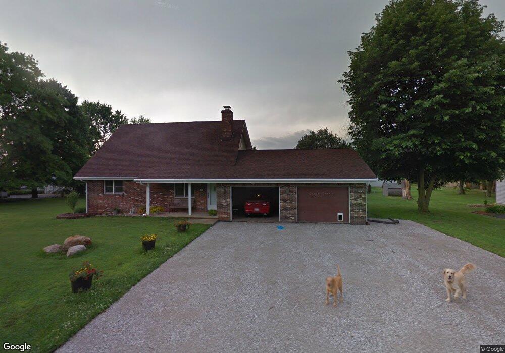
316 Summit St Wood River, IL 62095
Estimated Value: $157,821 - $301,000
3
Beds
2
Baths
924
Sq Ft
$224/Sq Ft
Est. Value
About This Home
This home is located at 316 Summit St, Wood River, IL 62095 and is currently estimated at $206,955, approximately $223 per square foot. 316 Summit St is a home located in Madison County with nearby schools including Eastwood Elementary School, East Alton Middle School, and East Alton-Wood River High School.
Ownership History
Date
Name
Owned For
Owner Type
Purchase Details
Closed on
Mar 31, 2005
Sold by
Union Planters Bank Na
Bought by
Moxey Michael Joe and Moxey Kimberly Kay
Current Estimated Value
Home Financials for this Owner
Home Financials are based on the most recent Mortgage that was taken out on this home.
Original Mortgage
$96,000
Outstanding Balance
$49,893
Interest Rate
5.89%
Mortgage Type
Purchase Money Mortgage
Estimated Equity
$157,062
Create a Home Valuation Report for This Property
The Home Valuation Report is an in-depth analysis detailing your home's value as well as a comparison with similar homes in the area
Home Values in the Area
Average Home Value in this Area
Purchase History
| Date | Buyer | Sale Price | Title Company |
|---|---|---|---|
| Moxey Michael Joe | $120,000 | Serenity Title & Escrow Ltd |
Source: Public Records
Mortgage History
| Date | Status | Borrower | Loan Amount |
|---|---|---|---|
| Open | Moxey Michael Joe | $96,000 |
Source: Public Records
Tax History Compared to Growth
Tax History
| Year | Tax Paid | Tax Assessment Tax Assessment Total Assessment is a certain percentage of the fair market value that is determined by local assessors to be the total taxable value of land and additions on the property. | Land | Improvement |
|---|---|---|---|---|
| 2024 | $4,779 | $57,040 | $7,340 | $49,700 |
| 2023 | $4,779 | $53,170 | $6,840 | $46,330 |
| 2022 | $4,479 | $49,070 | $6,310 | $42,760 |
| 2021 | $4,150 | $45,730 | $5,880 | $39,850 |
| 2020 | $4,034 | $44,040 | $5,660 | $38,380 |
| 2019 | $3,927 | $42,730 | $5,490 | $37,240 |
| 2018 | $3,842 | $40,610 | $5,220 | $35,390 |
| 2017 | $3,652 | $39,640 | $5,100 | $34,540 |
| 2016 | $3,675 | $39,640 | $5,100 | $34,540 |
| 2015 | $3,658 | $39,220 | $5,050 | $34,170 |
| 2014 | $3,658 | $39,220 | $5,050 | $34,170 |
| 2013 | $3,658 | $39,780 | $5,120 | $34,660 |
Source: Public Records
Map
Nearby Homes
- 345 Illinois Ave
- 959 Cedar Dr
- 283 Hi Pointe Place
- 104 Whitelaw Ave
- 121 Whitelaw Ave
- 250 Hi Pointe Place
- 523 Wilson Ave
- 98 Wood River Ave
- 830 N Wood River Ave
- 604 Wood River Ave
- 133 Lincoln Ave
- 777 Condit St
- 211 S 9th St
- 833 State St
- 641 Leslie Ave
- 523 Lincoln Ave
- 141 S 9th St
- 144 S 9th St
- 420 Bowman Ave
- 782 Berry Rd
- 300 Summit St
- 330 Summit St
- 315 Woodland Ave
- 305 Woodland Ave
- 301 Woodland Ave
- 344 Summit St
- 309 Summit St
- 308 Hillview Dr
- 1255 Cedar Dr
- 1251 Cedar Dr
- 337 Summit St
- 1247 Cedar Dr
- 1259 Cedar Dr
- 1231 Cedar Dr
- 320 Woodland Ave
- 200 Summit St
- 355 Woodland Ave
- 343 Summit St
- 306 Woodland Ave
- 300 Woodland Ave