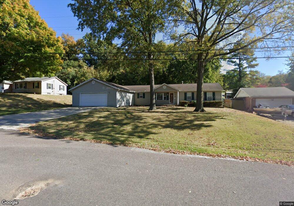
316 Tower Dr East Alton, IL 62024
Estimated Value: $178,149 - $239,000
3
Beds
1
Bath
1,768
Sq Ft
$120/Sq Ft
Est. Value
About This Home
This home is located at 316 Tower Dr, East Alton, IL 62024 and is currently estimated at $212,787, approximately $120 per square foot. 316 Tower Dr is a home located in Madison County with nearby schools including Eastwood Elementary School, East Alton Middle School, and East Alton-Wood River High School.
Ownership History
Date
Name
Owned For
Owner Type
Purchase Details
Closed on
Aug 15, 2006
Sold by
Crause Paul D and Crause Carolyn J
Bought by
Mchatton Michael A and Mchatton Melanie J
Current Estimated Value
Home Financials for this Owner
Home Financials are based on the most recent Mortgage that was taken out on this home.
Original Mortgage
$152,000
Outstanding Balance
$91,605
Interest Rate
6.83%
Mortgage Type
Purchase Money Mortgage
Estimated Equity
$121,182
Create a Home Valuation Report for This Property
The Home Valuation Report is an in-depth analysis detailing your home's value as well as a comparison with similar homes in the area
Home Values in the Area
Average Home Value in this Area
Purchase History
| Date | Buyer | Sale Price | Title Company |
|---|---|---|---|
| Mchatton Michael A | $160,000 | None Available |
Source: Public Records
Mortgage History
| Date | Status | Borrower | Loan Amount |
|---|---|---|---|
| Open | Mchatton Michael A | $152,000 |
Source: Public Records
Tax History Compared to Growth
Tax History
| Year | Tax Paid | Tax Assessment Tax Assessment Total Assessment is a certain percentage of the fair market value that is determined by local assessors to be the total taxable value of land and additions on the property. | Land | Improvement |
|---|---|---|---|---|
| 2024 | $3,186 | $56,010 | $3,710 | $52,300 |
| 2023 | $3,186 | $52,220 | $3,460 | $48,760 |
| 2022 | $3,243 | $48,190 | $3,190 | $45,000 |
| 2021 | $3,556 | $44,910 | $2,970 | $41,940 |
| 2020 | $3,578 | $43,250 | $2,860 | $40,390 |
| 2019 | $4,233 | $41,960 | $2,770 | $39,190 |
| 2018 | $4,135 | $39,870 | $2,630 | $37,240 |
| 2017 | $3,891 | $38,920 | $2,570 | $36,350 |
| 2016 | $3,820 | $38,920 | $2,570 | $36,350 |
| 2015 | $3,656 | $38,510 | $2,540 | $35,970 |
| 2014 | $3,656 | $38,510 | $2,540 | $35,970 |
| 2013 | $3,656 | $39,070 | $2,580 | $36,490 |
Source: Public Records
Map
Nearby Homes
- 283 Hi Pointe Place
- 250 Hi Pointe Place
- 345 Illinois Ave
- 604 Wood River Ave
- 104 Whitelaw Ave
- 121 Whitelaw Ave
- 959 Cedar Dr
- 98 Wood River Ave
- 523 Lincoln Ave
- 523 Wilson Ave
- 211 S 9th St
- 133 Lincoln Ave
- 141 S 9th St
- 420 Bowman Ave
- 144 S 9th St
- 833 State St
- 777 Condit St
- 225 Lakeside Ave
- 523 Broadway
- 209 Elble Ave