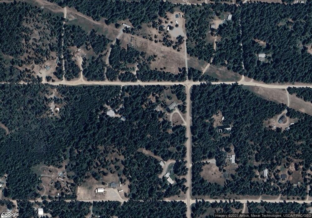
316 Walker Rd Blanchard, ID 83804
Estimated Value: $534,000 - $599,000
2
Beds
2
Baths
1,500
Sq Ft
$373/Sq Ft
Est. Value
About This Home
This home is located at 316 Walker Rd, Blanchard, ID 83804 and is currently estimated at $559,955, approximately $373 per square foot. 316 Walker Rd is a home located in Bonner County.
Ownership History
Date
Name
Owned For
Owner Type
Purchase Details
Closed on
Jul 22, 2019
Sold by
Lyzynski Charlene C and Shirley M Hatfield Living Trus
Bought by
Hawks Jair and Hawks Margie
Current Estimated Value
Home Financials for this Owner
Home Financials are based on the most recent Mortgage that was taken out on this home.
Original Mortgage
$265,000
Outstanding Balance
$232,164
Interest Rate
3.82%
Mortgage Type
New Conventional
Estimated Equity
$327,791
Purchase Details
Closed on
Sep 1, 1978
Sold by
Spirit Valley Co Inc
Bought by
Hatfield Donald V and Hatfield Shirley M
Create a Home Valuation Report for This Property
The Home Valuation Report is an in-depth analysis detailing your home's value as well as a comparison with similar homes in the area
Home Values in the Area
Average Home Value in this Area
Purchase History
| Date | Buyer | Sale Price | Title Company |
|---|---|---|---|
| Hawks Jair | -- | Pioneer Title Bonner County | |
| Hatfield Donald V | -- | None Available |
Source: Public Records
Mortgage History
| Date | Status | Borrower | Loan Amount |
|---|---|---|---|
| Open | Hawks Jair | $265,000 |
Source: Public Records
Tax History Compared to Growth
Tax History
| Year | Tax Paid | Tax Assessment Tax Assessment Total Assessment is a certain percentage of the fair market value that is determined by local assessors to be the total taxable value of land and additions on the property. | Land | Improvement |
|---|---|---|---|---|
| 2025 | $1,121 | $459,794 | $257,728 | $202,066 |
| 2024 | $1,220 | $424,647 | $221,274 | $203,373 |
| 2023 | $1,042 | $446,983 | $241,527 | $205,456 |
| 2022 | $1,420 | $412,449 | $197,117 | $215,332 |
| 2021 | $2,048 | $301,210 | $100,675 | $200,535 |
| 2020 | $1,891 | $261,334 | $89,240 | $172,094 |
| 2019 | $373 | $223,319 | $73,991 | $149,328 |
| 2018 | $376 | $209,567 | $56,565 | $153,002 |
| 2017 | $376 | $190,262 | $0 | $0 |
| 2016 | $342 | $188,910 | $0 | $0 |
| 2015 | $336 | $185,770 | $0 | $0 |
| 2014 | -- | $185,770 | $0 | $0 |
Source: Public Records
Map
Nearby Homes
- 681 Hummingbird Ln
- NKA Rogstad Powerline Rd
- NNA Usfs 2550 (40 Acres)
- 72 Hank Allen Way
- 181 E Deer Meadow Ln
- NNA Links Dr
- 38 Cannon Ln
- 55 Cannon Ln
- LT 3 BLK 1 Cannon Ln
- LT 2 BLK 2 Cannon Ln
- 45 Battle Dr Unit 65 Battle Drive
- 45 Battle Dr
- L2 B1 Wallace Ln
- 53 Wallace Ln
- 52 Wallace Ln
- LT 3 BLK 1 Wallace Ln
- LT 4 BLK 1 Wallace Ln
- 162 S Cedar View
- 90 Geaudreau Ln
- 299 Railroad Ave
- 0 Hummingbird Ln
- 327 Walker Rd
- 360 Hummingbird Ln
- 465 Hummingbird Ln
- 247 Walker Rd
- 359 Spirit Valley Ln
- 124 Pleasant View Rd
- 126 Pleasant View Rd
- 128 Pleasant View Rd
- 565 Hummingbird Ln
- 8 Woven Dreams Rd
- 485 Hummingbird Ln
- NNN Spirit Valley Ln
- 0 Spirit Valley Ln
- Nna Spirit Valley Ln
- 295 Hummingbird Ln
- 622 Hummingbird Ln
- 600 Hummingbird Ln
- 55 Woven Dreams Rd
- 0 Big Sky Rd
