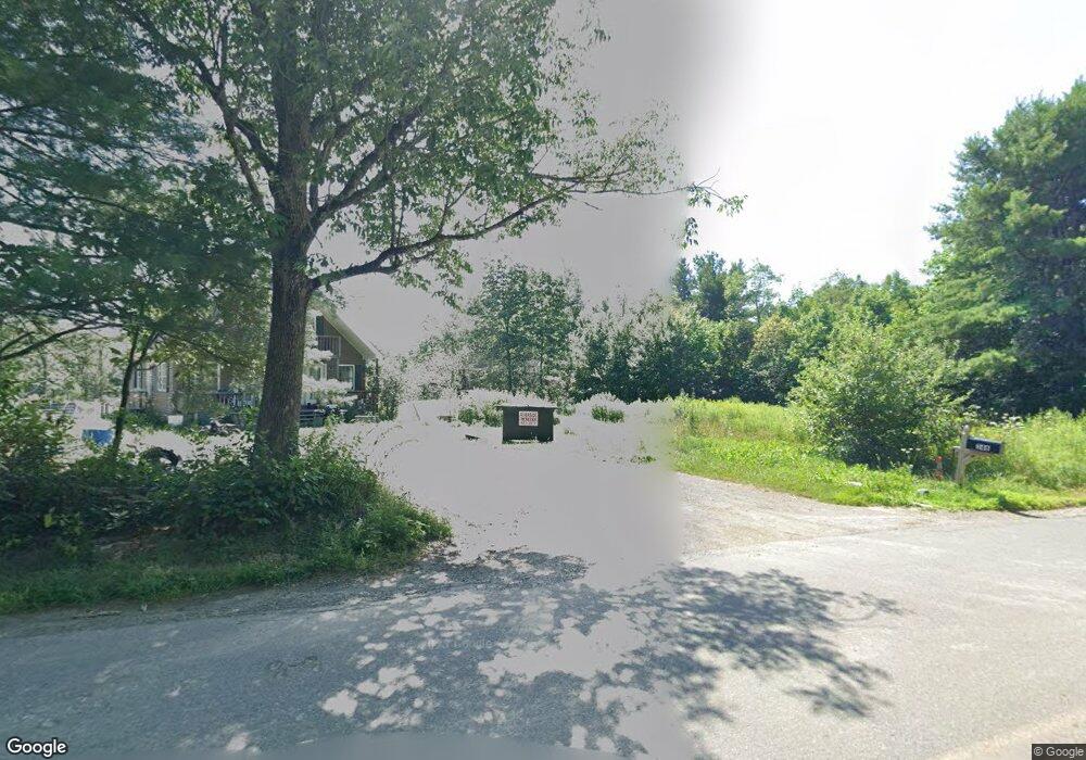
316 Wingood Rd Windsor, ME 04363
Estimated Value: $382,000 - $488,000
Studio
--
Bath
--
Sq Ft
522,720
Sq Ft Lot
About This Home
This home is located at 316 Wingood Rd, Windsor, ME 04363 and is currently estimated at $437,364. 316 Wingood Rd is a home with nearby schools including Windsor Elementary School.
Ownership History
Date
Name
Owned For
Owner Type
Purchase Details
Closed on
May 19, 2014
Sold by
Birch Holdings Llc
Bought by
Harper Philip L and Harper Kerrie A
Current Estimated Value
Purchase Details
Closed on
Mar 7, 2014
Sold by
Blair Catharine S and Blair Joseph F
Bought by
Birch Holdings Llc
Purchase Details
Closed on
Nov 26, 2012
Sold by
Blair Joseph F Sr Est
Bought by
Blair Catharine A and Blair Joseph F
Home Financials for this Owner
Home Financials are based on the most recent Mortgage that was taken out on this home.
Original Mortgage
$95,000
Interest Rate
3.42%
Mortgage Type
Commercial
Create a Home Valuation Report for This Property
The Home Valuation Report is an in-depth analysis detailing your home's value as well as a comparison with similar homes in the area
Home Values in the Area
Average Home Value in this Area
Purchase History
| Date | Buyer | Sale Price | Title Company |
|---|---|---|---|
| Harper Philip L | -- | -- | |
| Birch Holdings Llc | -- | -- | |
| Blair Catharine S | -- | -- | |
| Blair Catharine A | -- | -- | |
| Blair Catharine A | -- | -- |
Source: Public Records
Mortgage History
| Date | Status | Borrower | Loan Amount |
|---|---|---|---|
| Previous Owner | Blair Catharine A | $95,000 |
Source: Public Records
Tax History
| Year | Tax Paid | Tax Assessment Tax Assessment Total Assessment is a certain percentage of the fair market value that is determined by local assessors to be the total taxable value of land and additions on the property. | Land | Improvement |
|---|---|---|---|---|
| 2024 | $4,152 | $451,300 | $61,000 | $390,300 |
| 2023 | $3,094 | $213,400 | $37,200 | $176,200 |
| 2022 | $2,924 | $213,400 | $37,200 | $176,200 |
| 2021 | $2,774 | $213,400 | $37,200 | $176,200 |
| 2020 | $2,578 | $201,400 | $37,200 | $164,200 |
| 2019 | $231 | $201,400 | $37,200 | $164,200 |
| 2018 | $2,598 | $201,400 | $37,200 | $164,200 |
| 2017 | $215 | $201,400 | $37,200 | $164,200 |
| 2016 | $2,558 | $201,400 | $37,200 | $164,200 |
| 2015 | $2,351 | $197,600 | $37,200 | $160,400 |
| 2014 | $2,569 | $197,600 | $37,200 | $160,400 |
| 2013 | $2,458 | $186,200 | $37,200 | $149,000 |
Source: Public Records
Map
Nearby Homes
Your Personal Tour Guide
Ask me questions while you tour the home.