31600 NE 134th Ct Battle Ground, WA 98604
Estimated Value: $792,612 - $895,000
4
Beds
3
Baths
2,484
Sq Ft
$337/Sq Ft
Est. Value
About This Home
This home is located at 31600 NE 134th Ct, Battle Ground, WA 98604 and is currently estimated at $838,153, approximately $337 per square foot. 31600 NE 134th Ct is a home located in Clark County with nearby schools including Yacolt Primary School, Amboy Middle School, and Battle Ground High School.
Ownership History
Date
Name
Owned For
Owner Type
Purchase Details
Closed on
Aug 19, 2003
Sold by
Aho Construction I Inc
Bought by
Jacobson Lori G and Lappier Michael J
Current Estimated Value
Home Financials for this Owner
Home Financials are based on the most recent Mortgage that was taken out on this home.
Original Mortgage
$196,000
Outstanding Balance
$85,304
Interest Rate
5.46%
Mortgage Type
Purchase Money Mortgage
Estimated Equity
$752,849
Create a Home Valuation Report for This Property
The Home Valuation Report is an in-depth analysis detailing your home's value as well as a comparison with similar homes in the area
Home Values in the Area
Average Home Value in this Area
Purchase History
| Date | Buyer | Sale Price | Title Company |
|---|---|---|---|
| Jacobson Lori G | $246,721 | Stewart Title | |
| Aho Construction 1 Inc | -- | Stewart Title |
Source: Public Records
Mortgage History
| Date | Status | Borrower | Loan Amount |
|---|---|---|---|
| Open | Jacobson Lori G | $196,000 |
Source: Public Records
Tax History Compared to Growth
Tax History
| Year | Tax Paid | Tax Assessment Tax Assessment Total Assessment is a certain percentage of the fair market value that is determined by local assessors to be the total taxable value of land and additions on the property. | Land | Improvement |
|---|---|---|---|---|
| 2025 | $6,090 | $709,132 | $320,000 | $389,132 |
| 2024 | $5,660 | $692,909 | $320,000 | $372,909 |
| 2023 | $5,789 | $724,740 | $328,250 | $396,490 |
| 2022 | $5,102 | $678,327 | $297,200 | $381,127 |
| 2021 | $5,271 | $554,735 | $233,750 | $320,985 |
| 2020 | $5,073 | $523,192 | $225,650 | $297,542 |
| 2019 | $4,176 | $493,767 | $225,650 | $268,117 |
| 2018 | $4,869 | $465,274 | $0 | $0 |
| 2017 | $4,132 | $414,809 | $0 | $0 |
| 2016 | $3,988 | $382,267 | $0 | $0 |
| 2015 | $3,943 | $339,972 | $0 | $0 |
| 2014 | -- | $320,228 | $0 | $0 |
| 2013 | -- | $291,115 | $0 | $0 |
Source: Public Records
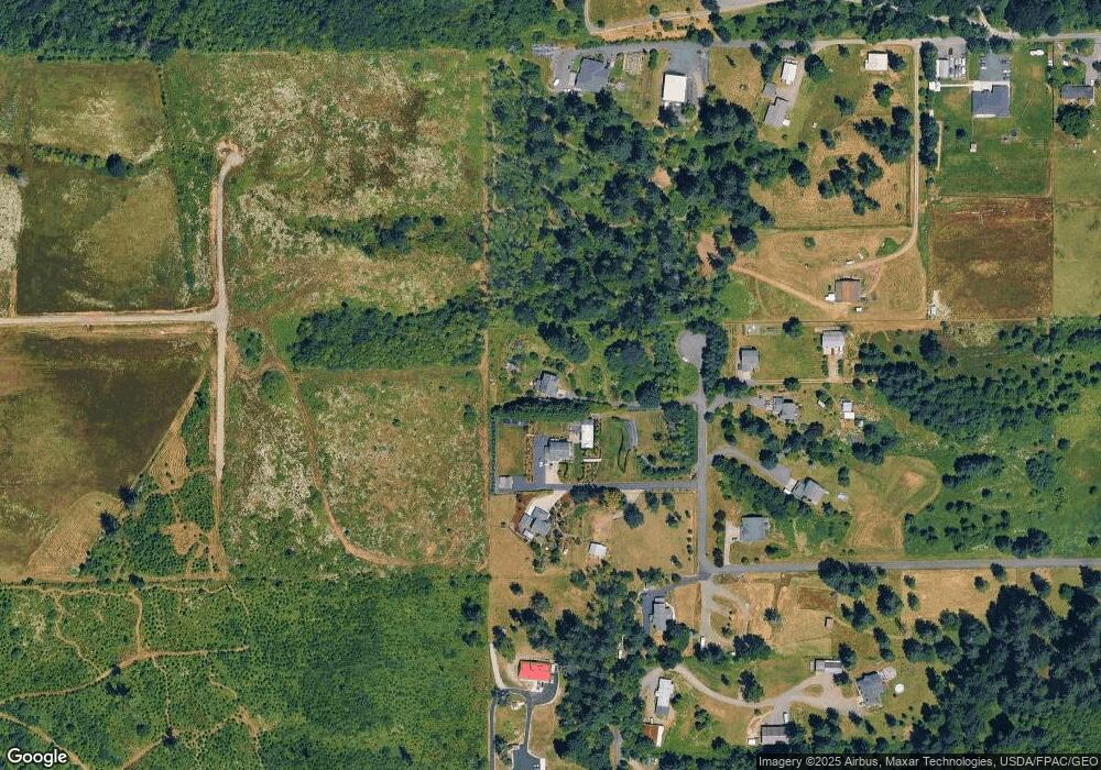
Map
Nearby Homes
- 30108 NE Mcbride Rd
- 9701 NE 299th St
- 13706 NE River Bend Rd
- 14103 NE Mountain View Dr
- 29311 NE 124th Ave
- 0 NE 324th Cir
- 34133 NE Winterbrook Way
- 29815 NE 152nd Ave
- 00 NE 324th Cir
- 33910 NE 116th Ave
- 14011 NE 346th St
- 29139 NE Hammond Ct
- 14216 NE 346th St
- 28900 NE 112th Ave
- 10514 NE 337th St
- 31305 NE 95th Ave
- 17211 NE Yacolt Mountain Rd
- 0 NE 279th St Unit 717779825
- 0 NE 279th St Unit 24075001
- 0 NE 279th St Unit 24073819
- 31500 NE 134th Ct
- 31406 NE 134th Ct
- 31606 NE 134th Ct
- 31602 NE 134th Ct
- 13402 NE 314th St
- 31311 NE 133rd Ave
- 31510 NE 134th Ct
- 13401 NE 319th St
- 31201 NE 132nd Ave
- 31902 NE 136th Ave
- 31209 NE 133rd Ave
- 13613 NE 319th St
- 31013 NE 132nd Ave
- 13709 NE 319th St
- 32102 NE 136th Ave
- 32102 NE 136th Ave
- 31005 NE 132nd Ave
- 13800 NE 319th St
- 13900 NE 314th St
- 13817 NE 311th St