31603 E Ryan Rd Grain Valley, MO 64029
Estimated Value: $292,429 - $421,000
3
Beds
3
Baths
1,792
Sq Ft
$195/Sq Ft
Est. Value
About This Home
This home is located at 31603 E Ryan Rd, Grain Valley, MO 64029 and is currently estimated at $350,107, approximately $195 per square foot. 31603 E Ryan Rd is a home with nearby schools including Grain Valley High School.
Ownership History
Date
Name
Owned For
Owner Type
Purchase Details
Closed on
Jun 21, 2002
Sold by
Grain Valley R-5 School District
Bought by
Arnold Dale and Arnold Sheila
Current Estimated Value
Home Financials for this Owner
Home Financials are based on the most recent Mortgage that was taken out on this home.
Original Mortgage
$120,000
Interest Rate
6.39%
Mortgage Type
Purchase Money Mortgage
Purchase Details
Closed on
Mar 27, 2000
Sold by
Chapman Terry W
Bought by
Orrison Richard Alan and Orrison Barbara June
Create a Home Valuation Report for This Property
The Home Valuation Report is an in-depth analysis detailing your home's value as well as a comparison with similar homes in the area
Home Values in the Area
Average Home Value in this Area
Purchase History
| Date | Buyer | Sale Price | Title Company |
|---|---|---|---|
| Arnold Dale | -- | -- | |
| Orrison Richard Alan | -- | Chicago Title Co |
Source: Public Records
Mortgage History
| Date | Status | Borrower | Loan Amount |
|---|---|---|---|
| Closed | Arnold Dale | $120,000 |
Source: Public Records
Tax History
| Year | Tax Paid | Tax Assessment Tax Assessment Total Assessment is a certain percentage of the fair market value that is determined by local assessors to be the total taxable value of land and additions on the property. | Land | Improvement |
|---|---|---|---|---|
| 2025 | $3,840 | $12,814 | $10,251 | $2,563 |
| 2024 | $3,697 | $46,408 | $14,307 | $32,101 |
| 2023 | $3,697 | $46,408 | $11,349 | $35,059 |
| 2022 | $883 | $9,690 | $7,562 | $2,128 |
| 2021 | $862 | $9,690 | $7,562 | $2,128 |
| 2020 | $768 | $8,512 | $7,562 | $950 |
| 2019 | $753 | $8,512 | $7,562 | $950 |
| 2018 | $2,563 | $27,067 | $2,074 | $24,993 |
| 2017 | $2,563 | $27,067 | $2,074 | $24,993 |
| 2016 | $2,502 | $26,440 | $2,074 | $24,366 |
Source: Public Records
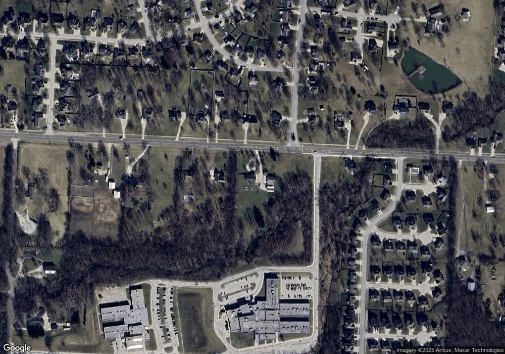
Map
Nearby Homes
- Tract 11 W Ryan Rd
- 1010 SW Cross Creek Dr
- 801 SW Misty Glen
- 913 SW Abar Dr
- 803 SW Apple Grove Ct
- 1506 SW Cross Creek Dr
- Tract 11 W Ryan Rd
- Tract 10 W Ryan Rd
- 6920 S Buckner Tarsney Rd
- 601 SW Creek Ridge Dr
- TBD E Stony Point School Rd
- 517 SW Brome Dr
- 600 SW Valley Dr
- 10510 S Cedar Ridge Trail
- 647 SW Crestview Dr
- 603 SW Ridgeview Dr
- 507 SW Meadowood Dr
- 1220 SW Dakota Star Ct
- 518 SW Valley Dr
- 448 SW Laura Ln
- 31503 E Ryan Rd
- 906 W Ryan Rd
- 1018 SW Cross Creek Dr
- 912 W Ryan Rd
- 918 W Ryan Rd
- 1019 SW Cross Creek Dr
- 000 Cross Creek Dr
- 1008 SW Shorthorn Dr
- 924 W Ryan Rd
- 31403 E Ryan Rd
- 811 E Ryan Rd
- 1013 SW Cross Creek Dr
- 1004 SW Shorthorn Dr
- 1000 W Ryan Rd
- 1208 SW Cross Creek Dr
- 1300 SW Cross Creek Dr
- 1009 SW Shorthorn Dr
- 1007 SW Cross Creek Dr
- 1210 SW Cross Creek Dr
- 1006 SW Cross Creek Dr
Your Personal Tour Guide
Ask me questions while you tour the home.