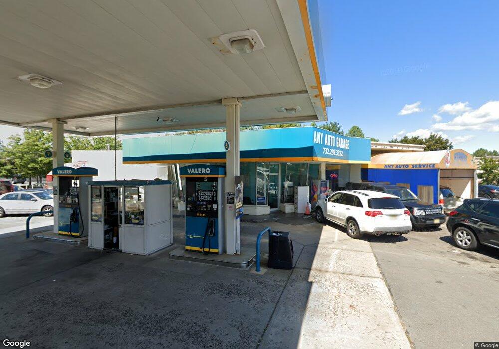
3161 State Route 27 Franklin Park, NJ 08823
Estimated Value: $3,363,117
--
Bed
--
Bath
3,216
Sq Ft
$1,046/Sq Ft
Est. Value
About This Home
This home is located at 3161 State Route 27, Franklin Park, NJ 08823 and is currently estimated at $3,363,117, approximately $1,045 per square foot. 3161 State Route 27 is a home with nearby schools including Franklin High School, St. Augustine of Canterbury School, and Cheder Menachem.
Ownership History
Date
Name
Owned For
Owner Type
Purchase Details
Closed on
Jan 14, 2004
Sold by
Mrs Associates
Bought by
Apco Petroleum Corporation
Current Estimated Value
Purchase Details
Closed on
Sep 23, 1992
Sold by
Fusco Fusco M and Fusco Stefanos,E N
Bought by
M R S Associates
Purchase Details
Closed on
Feb 2, 1990
Sold by
Baker William F and Baker Madeline M
Bought by
Fusco Michael
Create a Home Valuation Report for This Property
The Home Valuation Report is an in-depth analysis detailing your home's value as well as a comparison with similar homes in the area
Home Values in the Area
Average Home Value in this Area
Purchase History
| Date | Buyer | Sale Price | Title Company |
|---|---|---|---|
| Apco Petroleum Corporation | $1,800,000 | -- | |
| M R S Associates | -- | -- | |
| Fusco Michael | $850,000 | -- |
Source: Public Records
Tax History Compared to Growth
Tax History
| Year | Tax Paid | Tax Assessment Tax Assessment Total Assessment is a certain percentage of the fair market value that is determined by local assessors to be the total taxable value of land and additions on the property. | Land | Improvement |
|---|---|---|---|---|
| 2025 | $25,242 | $1,400,000 | $1,128,400 | $271,600 |
| 2024 | $25,242 | $1,400,000 | $1,128,400 | $271,600 |
| 2023 | $26,908 | $1,400,000 | $1,128,400 | $271,600 |
| 2022 | $28,392 | $1,400,000 | $1,128,400 | $271,600 |
| 2021 | $30,546 | $1,400,000 | $1,128,400 | $271,600 |
| 2020 | $31,626 | $1,400,000 | $1,128,400 | $271,600 |
| 2019 | $32,018 | $1,400,000 | $1,128,400 | $271,600 |
| 2018 | $32,340 | $1,400,000 | $1,128,400 | $271,600 |
| 2017 | $27,828 | $1,200,000 | $1,128,400 | $71,600 |
| 2016 | $28,068 | $1,200,000 | $1,128,400 | $71,600 |
| 2015 | $29,242 | $1,200,000 | $1,128,400 | $71,600 |
| 2014 | $27,456 | $1,200,000 | $1,128,400 | $71,600 |
Source: Public Records
Map
Nearby Homes
- 69 Fisher Dr
- 9 Beekman Rd
- 108 Daniel Ct
- 81 Maria Ct
- 38 Colleen Ct
- 44 Crabapple Ln
- 107 Rachel Ct
- 147 Rachel Ct
- 205 Rachel Ct
- 167 Rachel Ct
- 181 Rachel Ct
- 89 Lindsey Ct Unit 4021
- 62 Claremont Rd
- 3241 Route 27
- 13 Pear Tree Ln
- 130 Lindsey Ct
- 75 Pear Tree Ln Unit 10C
- 124 Edward Dr
- 27 Topaz Dr
- 209 Lindsey Ct
- 3171 State Route 27
- 14 Carrie Ct
- 3175 State Route 27
- 6 Decaire Ln
- 3175 New Jersey 27
- 13 Carrie Ct
- 12 Carrie Ct
- 3158 New Jersey 27
- 11 Carrie Ct
- 10 Carrie Ct
- 9 Carrie Ct
- 4 Decaire Ln
- 3152 New Jersey 27
- 3181 New Jersey 27
- 3181 Rt 27
- 3150 New Jersey 27
- 3150 New Jersey 27 Unit A
- 2 Rachel Ct
- 8 Carrie Ct Unit 8
- 7 Carrie Ct Unit 1B