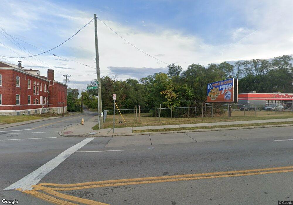
3166 Reading Rd Cincinnati, OH 45229
Avondale NeighborhoodEstimated Value: $180,571
Studio
--
Bath
--
Sq Ft
5,401
Sq Ft Lot
About This Home
This home is located at 3166 Reading Rd, Cincinnati, OH 45229 and is currently estimated at $180,571. 3166 Reading Rd is a home located in Hamilton County with nearby schools including Frederick Douglass Elementary School, Robert A. Taft Information Technology High School, and Clark Montessori High School.
Ownership History
Date
Name
Owned For
Owner Type
Purchase Details
Closed on
Nov 17, 2017
Sold by
Avondale Comprehensive Development Corp
Bought by
Uptown Transportation Authority Llc
Current Estimated Value
Purchase Details
Closed on
Nov 16, 2017
Sold by
Hamilton County Land Reutilization
Bought by
Avondale Comprehensive Development Corp
Purchase Details
Closed on
Aug 7, 2013
Sold by
County Auditor Of Hamilton County
Bought by
Hamilton County Land Reutilization Corpo
Purchase Details
Closed on
Oct 8, 1998
Sold by
Reynolds Robert W
Bought by
Jefferson Fulton O
Purchase Details
Closed on
Jun 8, 1998
Sold by
Amerifirst Bank
Bought by
Reynolds Robert W
Purchase Details
Closed on
Dec 1, 1997
Sold by
Reynolds Robert W
Bought by
Amerifirst Bank
Purchase Details
Closed on
Jul 12, 1996
Sold by
Hirka Michael L
Bought by
Reynolds Robert W
Create a Home Valuation Report for This Property
The Home Valuation Report is an in-depth analysis detailing your home's value as well as a comparison with similar homes in the area
Home Values in the Area
Average Home Value in this Area
Purchase History
| Date | Buyer | Sale Price | Title Company |
|---|---|---|---|
| Uptown Transportation Authority Llc | $110,243 | None Available | |
| Avondale Comprehensive Development Corp | -- | None Available | |
| Hamilton County Land Reutilization Corpo | -- | Attorney | |
| Jefferson Fulton O | $67,500 | -- | |
| Reynolds Robert W | -- | -- | |
| Amerifirst Bank | $34,000 | -- | |
| Reynolds Robert W | -- | -- |
Source: Public Records
Tax History
| Year | Tax Paid | Tax Assessment Tax Assessment Total Assessment is a certain percentage of the fair market value that is determined by local assessors to be the total taxable value of land and additions on the property. | Land | Improvement |
|---|---|---|---|---|
| 2025 | $220 | $2,646 | $2,646 | -- |
| 2024 | $270 | $2,646 | $2,646 | -- |
| 2023 | $269 | $2,646 | $2,646 | $0 |
| 2022 | $3,546 | $38,584 | $38,584 | $0 |
| 2021 | $3,468 | $38,584 | $38,584 | $0 |
| 2020 | $3,472 | $38,584 | $38,584 | $0 |
| 2019 | $909 | $9,051 | $9,051 | $0 |
| 2018 | $909 | $9,051 | $9,051 | $0 |
| 2017 | $32 | $9,051 | $9,051 | $0 |
| 2016 | $32 | $9,338 | $9,338 | $0 |
| 2015 | $32 | $9,338 | $9,338 | $0 |
| 2014 | $871 | $9,338 | $9,338 | $0 |
| 2013 | $871 | $9,527 | $9,527 | $0 |
Source: Public Records
Map
Nearby Homes
- 567 Stewart Place
- 778 Ridgeway Ave
- 3012 Burnet Ave
- 3440 Harvey Ave
- 252 Stetson St
- 3024 Kerper Ave
- 3079 Kerper Ave
- 434 Northern Ave
- 533 Rockdale Ave
- 668 June St
- 834 Rockdale Ave
- 3048 Gilbert Ave
- 610 Crown St
- 3553 van Antwerp Place
- 2528 Hemlock St
- 2604 Melrose Ave
- 3565 Harvey Ave
- 3213 Vine St
- 709 E Mcmillan St
- 2518 Highland Ave