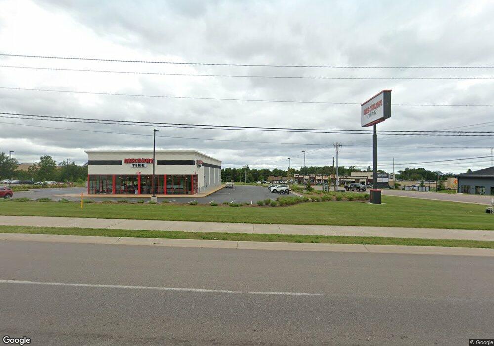
3166 Us Highway 41 W Marquette, MI 49855
Trowbridge Park NeighborhoodEstimated Value: $1,830,034
--
Bed
--
Bath
3,000
Sq Ft
$610/Sq Ft
Est. Value
About This Home
This home is located at 3166 Us Highway 41 W, Marquette, MI 49855 and is currently estimated at $1,830,034, approximately $610 per square foot. 3166 Us Highway 41 W is a home located in Marquette County with nearby schools including Sandy Knoll School, Bothwell Middle School, and Marquette Senior High School.
Ownership History
Date
Name
Owned For
Owner Type
Purchase Details
Closed on
Jun 17, 2024
Sold by
Alvarez Jose
Bought by
Burns Rentals Llc
Current Estimated Value
Purchase Details
Closed on
Nov 6, 2018
Sold by
Menhennick Enterprises Inc
Bought by
Northcrest Group Inc
Purchase Details
Closed on
May 3, 1994
Create a Home Valuation Report for This Property
The Home Valuation Report is an in-depth analysis detailing your home's value as well as a comparison with similar homes in the area
Home Values in the Area
Average Home Value in this Area
Purchase History
| Date | Buyer | Sale Price | Title Company |
|---|---|---|---|
| Burns Rentals Llc | $1,750,000 | None Listed On Document | |
| Northcrest Group Inc | $1,230,000 | -- | |
| -- | -- | -- |
Source: Public Records
Mortgage History
| Date | Status | Borrower | Loan Amount |
|---|---|---|---|
| Closed | Northcrest Group Inc | $0 |
Source: Public Records
Tax History Compared to Growth
Tax History
| Year | Tax Paid | Tax Assessment Tax Assessment Total Assessment is a certain percentage of the fair market value that is determined by local assessors to be the total taxable value of land and additions on the property. | Land | Improvement |
|---|---|---|---|---|
| 2025 | $37 | $274,100 | $0 | $0 |
| 2024 | $37 | $247,800 | $0 | $0 |
| 2023 | $3,861 | $386,100 | $0 | $0 |
| 2022 | $18,028 | $622,700 | $0 | $0 |
| 2021 | $20,847 | $628,900 | $0 | $0 |
| 2020 | $29,506 | $622,700 | $0 | $0 |
| 2019 | $35,513 | $755,600 | $0 | $0 |
| 2018 | $23,439 | $892,700 | $0 | $0 |
| 2017 | $22,590 | $879,800 | $0 | $0 |
| 2016 | $22,792 | $863,300 | $0 | $0 |
| 2015 | -- | $863,300 | $0 | $0 |
| 2014 | -- | $854,300 | $0 | $0 |
| 2012 | -- | $846,200 | $0 | $0 |
Source: Public Records
Map
Nearby Homes
- 109 Forest Ridge Dr
- 104 Forest Ridge Dr
- 725 Co Rd Hq Rd
- 420 Brickyard Rd
- 280 Northwoods Rd
- 2363 Allen St
- 120 Hidden Springs Dr
- 2273 Allen St
- 590 Erie Ave
- 2093 Orchard St
- 2232 Center St
- 27 Oak Hill Dr
- 1932 Orchard St
- 2132 Montgomery St
- 1902 Orchard St
- 1917 Langford Dr
- 1908 Langford Dr
- 51 Oak Hill Dr
- 1612 Gray St
- 1411 West Ave
- 3166 Us Highway 41 W
- 3119 Us Highway 41 W
- 3165 Wright St
- 3119 W Us41
- 170 Lost Forty Rd
- 130 Lost Forty Rd
- 150 Lost Forty Rd
- 3105 U S 41 W
- 3105 Us Highway 41 W
- 3215 U S 41
- 3220 U S 41
- 161 County Road 492
- 3155 U S 41 W
- 170 County Road 492
- 3125 Wright St
- 3115 Wright St
- 200 County Road 492
- 1012 Cornerstone Dr Unit C
- 1012 Cornerstone Dr Unit B
- 1012 Cornerstone Dr Unit A