Estimated Value: $531,591 - $744,000
3
Beds
2
Baths
1,720
Sq Ft
$352/Sq Ft
Est. Value
About This Home
This home is located at 31660 S 571 Ln, Jay, OK 74346 and is currently estimated at $605,398, approximately $351 per square foot. 31660 S 571 Ln is a home located in Delaware County with nearby schools including Grove Lower Elementary School, Grove Upper Elementary School, and Grove Middle School.
Ownership History
Date
Name
Owned For
Owner Type
Purchase Details
Closed on
Sep 18, 2023
Sold by
Robert W Caffey Revocable Trust
Bought by
Peters Todd T and Peters Kay Lynn
Current Estimated Value
Home Financials for this Owner
Home Financials are based on the most recent Mortgage that was taken out on this home.
Original Mortgage
$360,000
Outstanding Balance
$352,365
Interest Rate
6.96%
Mortgage Type
New Conventional
Estimated Equity
$253,033
Purchase Details
Closed on
Aug 13, 2008
Sold by
Timm Scott A and Timm Lynn S
Bought by
The Robert W Caffey Revocable Trust
Home Financials for this Owner
Home Financials are based on the most recent Mortgage that was taken out on this home.
Original Mortgage
$212,000
Interest Rate
6.96%
Mortgage Type
New Conventional
Purchase Details
Closed on
Aug 12, 1995
Sold by
Colvin Mark and Colvin Dorothy
Purchase Details
Closed on
Aug 19, 1992
Sold by
Simmons Industries
Create a Home Valuation Report for This Property
The Home Valuation Report is an in-depth analysis detailing your home's value as well as a comparison with similar homes in the area
Home Values in the Area
Average Home Value in this Area
Purchase History
| Date | Buyer | Sale Price | Title Company |
|---|---|---|---|
| Peters Todd T | $583,333 | Residential Title & Escrow | |
| The Robert W Caffey Revocable Trust | $265,000 | None Available | |
| -- | $32,500 | -- | |
| -- | -- | -- |
Source: Public Records
Mortgage History
| Date | Status | Borrower | Loan Amount |
|---|---|---|---|
| Open | Peters Todd T | $360,000 | |
| Previous Owner | The Robert W Caffey Revocable Trust | $212,000 |
Source: Public Records
Tax History Compared to Growth
Tax History
| Year | Tax Paid | Tax Assessment Tax Assessment Total Assessment is a certain percentage of the fair market value that is determined by local assessors to be the total taxable value of land and additions on the property. | Land | Improvement |
|---|---|---|---|---|
| 2024 | $4,190 | $51,750 | $11,301 | $40,449 |
| 2023 | $4,190 | $37,213 | $10,657 | $26,556 |
| 2022 | $2,959 | $35,481 | $10,582 | $24,899 |
| 2021 | $2,812 | $33,753 | $10,582 | $23,171 |
| 2020 | $2,731 | $32,237 | $10,582 | $21,655 |
| 2019 | $2,690 | $31,640 | $10,582 | $21,058 |
| 2018 | $2,690 | $31,696 | $10,582 | $21,114 |
| 2017 | $2,669 | $31,348 | $10,582 | $20,766 |
| 2016 | $2,551 | $29,978 | $10,582 | $19,396 |
| 2015 | $2,482 | $28,750 | $8,556 | $20,194 |
| 2014 | $2,494 | $28,750 | $8,556 | $20,194 |
Source: Public Records
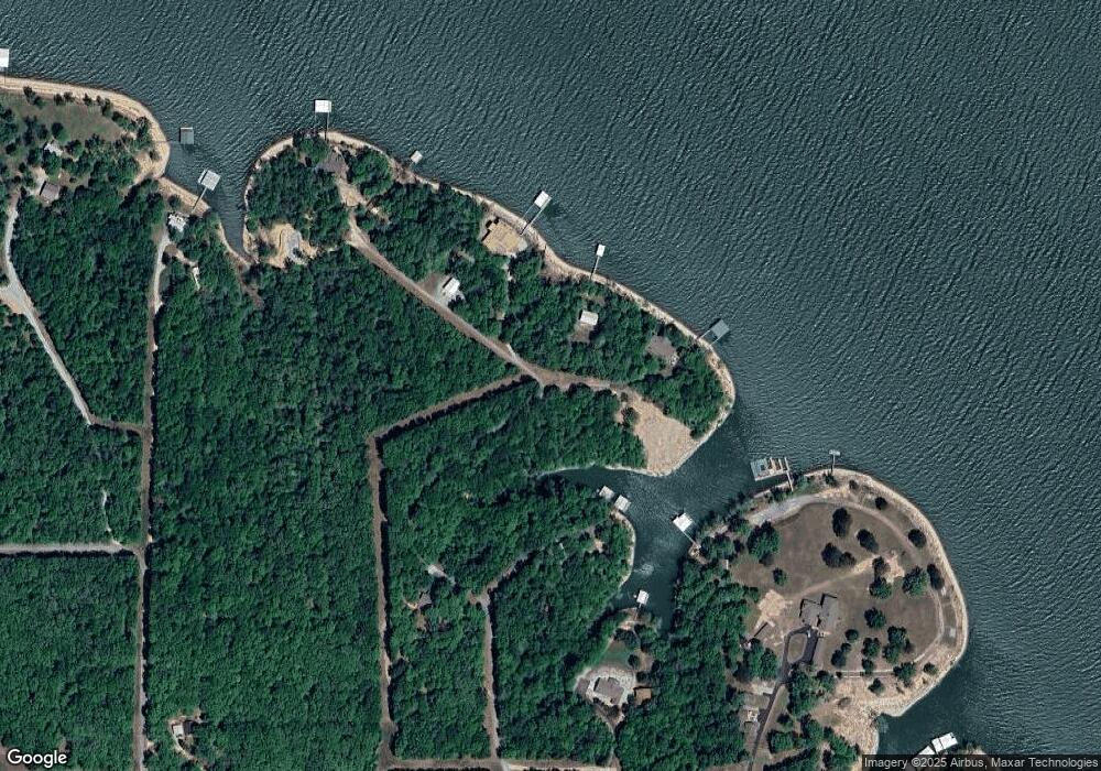
Map
Nearby Homes
- 31664 S 571 Ln
- 56853 E 318 Rd
- 55746 E 315 Rd
- 30501 S 562 Rd Unit 29
- 56701 E 310 Rd Unit 702
- 56701 E 310 Rd Unit 732
- 56701 E 310 Rd Unit 715
- 56701 E 310 Rd Unit 712
- 56701 E 310 Rd Unit 713
- 30310 S 562 Rd
- 55600 E 319 Trail
- 30401 S 563 Rd
- 30186 S 565 Rd
- 30990 E Highway 125
- 0 23 Lots Unit 25-2015
- 31201 S Highway 125 Unit 13
- 32302 S 555 Rd
- 30311 S 555 Rd Unit 20
- 0 Parker Rd
- 30397 S 567 Rd Unit 58
- 31650 S 571 Ln
- 31675 S 571 Ln
- Lot 6 Cedar Shores
- 0 S 571 Ln Unit 2418426
- 0 S 571 Ln Unit 2418367
- 0 S 571 Ln Unit 1-1095
- 0 S 571 Ln Unit 22-467
- 0 S 571 Ln Unit 22-444
- 31690 S 571 Ln
- 31671 S 571 Ln
- 56851 E 318 Rd
- 31500 S 565 Rd
- 56950 E 318 Rd
- 56858 E 318 Rd
- 32694 S 555 Rd
- 55590 E 315 Rd
- 56960 E 318 Rd
- 318 E E Rd
- 0 E 315 Rd Unit 15-2074
- 0 E 315 Rd Unit 7-3462