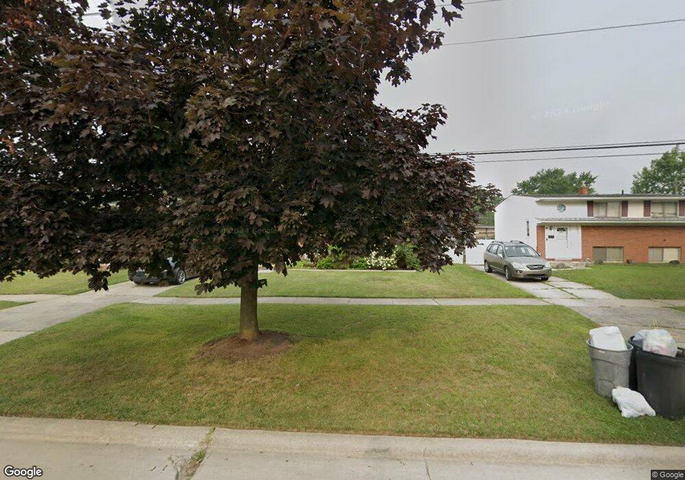
31672 Olmstead Rd Rockwood, MI 48173
Estimated Value: $208,989 - $237,000
3
Beds
1
Bath
1,500
Sq Ft
$147/Sq Ft
Est. Value
About This Home
This home is located at 31672 Olmstead Rd, Rockwood, MI 48173 and is currently estimated at $220,747, approximately $147 per square foot. 31672 Olmstead Rd is a home located in Wayne County with nearby schools including Oscar A. Carlson High School, Summit Academy - Flat Rock, and Calvary Christian Academy.
Ownership History
Date
Name
Owned For
Owner Type
Purchase Details
Closed on
Jan 3, 2011
Sold by
Secretary Of Housing & Urban Development
Bought by
Childers Donald R and Childers Bethannie L
Current Estimated Value
Purchase Details
Closed on
May 27, 2010
Sold by
Bac Home Loans Servicing Lp
Bought by
The Secretary Of Housing & Urban Develop
Purchase Details
Closed on
Nov 25, 2009
Sold by
Strawsine Donald W and Strawsine Michelle L
Bought by
Bac Home Loans Servicing Lp
Purchase Details
Closed on
Apr 12, 2004
Sold by
Strawsine Russell J and Strawsine Mary
Bought by
Strawsine Donald W
Create a Home Valuation Report for This Property
The Home Valuation Report is an in-depth analysis detailing your home's value as well as a comparison with similar homes in the area
Home Values in the Area
Average Home Value in this Area
Purchase History
| Date | Buyer | Sale Price | Title Company |
|---|---|---|---|
| Childers Donald R | $33,000 | None Available | |
| The Secretary Of Housing & Urban Develop | -- | None Available | |
| Bac Home Loans Servicing Lp | $141,075 | None Available | |
| Strawsine Donald W | $146,800 | Metropolitan Title Company |
Source: Public Records
Tax History Compared to Growth
Tax History
| Year | Tax Paid | Tax Assessment Tax Assessment Total Assessment is a certain percentage of the fair market value that is determined by local assessors to be the total taxable value of land and additions on the property. | Land | Improvement |
|---|---|---|---|---|
| 2025 | $1,952 | $94,700 | $0 | $0 |
| 2024 | $1,952 | $84,500 | $0 | $0 |
| 2023 | $1,862 | $78,800 | $0 | $0 |
| 2022 | $2,513 | $72,300 | $0 | $0 |
| 2021 | $2,460 | $68,600 | $0 | $0 |
| 2020 | $2,436 | $56,400 | $0 | $0 |
| 2019 | $2,392 | $50,700 | $0 | $0 |
| 2018 | $1,654 | $45,600 | $0 | $0 |
| 2017 | $1,745 | $44,900 | $0 | $0 |
| 2016 | $2,443 | $48,500 | $0 | $0 |
| 2015 | $4,069 | $48,900 | $0 | $0 |
| 2013 | $3,942 | $39,800 | $0 | $0 |
| 2012 | $1,612 | $38,500 | $8,100 | $30,400 |
Source: Public Records
Map
Nearby Homes
- 31694 Olmstead Rd
- 31666 E Ditner Dr
- 23135 Candace Dr
- 23452 Astrid Ln
- 31651 Hazel St
- 31792 Lafler Dr
- 31658 Williams Ct
- 30026 Huron Meadows Dr
- 001 Woodruff Rd
- 22421 Huron River Dr
- 32338 Church St
- 0 Gildersleeve St
- 0 Woodruff Unit 20251041652
- 30563 Bradbury Dr
- 0 Huron River Dr Unit 20251015696
- 30218 Torry Ave
- 5954 Purple Martin Dr
- 23772 Koszuta
- 33172 Swallow Dr
- 21301 Woodruff Rd
- 19942 Twin Olmstead Rd
- 31686 Olmstead Rd
- 31658 Olmstead Rd
- 23240 Astrid Ct
- 31644 Olmstead Rd
- 31692 Olmstead Rd
- 23116 W Ditner Dr
- 31694 Olmstead Rd Unit Bldg-Unit
- 23246 Astrid Ct
- 23130 W Ditner Dr
- 23234 Astrid Ct
- 31630 Olmstead Rd
- 23142 W Ditner Dr
- 31671 Olmstead Rd
- 23252 Astrid Ct
- 31657 Olmstead Rd
- 31683 Olmstead Rd
- 31645 Olmstead Rd
- 31691 Olmstead Rd
- 31633 Olmstead Rd