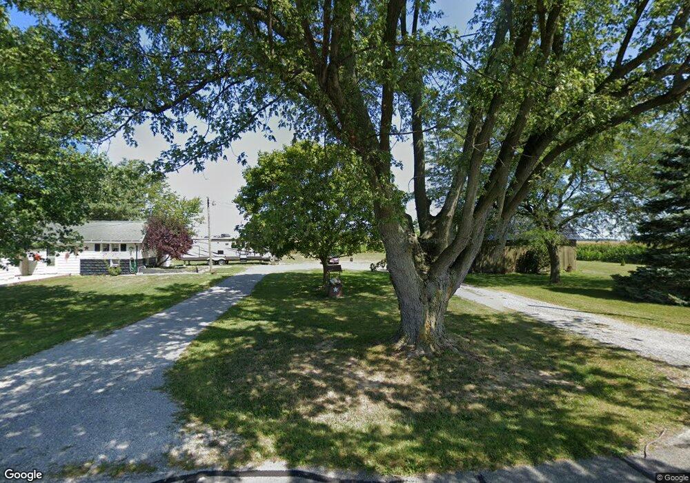
3169 Hone Weir Rd Celina, OH 45822
Estimated Value: $143,000 - $248,000
3
Beds
1
Bath
1,418
Sq Ft
$134/Sq Ft
Est. Value
About This Home
This home is located at 3169 Hone Weir Rd, Celina, OH 45822 and is currently estimated at $190,257, approximately $134 per square foot. 3169 Hone Weir Rd is a home located in Mercer County with nearby schools including Celina Middle School and Celina High School.
Ownership History
Date
Name
Owned For
Owner Type
Purchase Details
Closed on
Jan 4, 2022
Sold by
Stoner James A and Stoner Cheryl K
Bought by
Wycuff David T and Wycuff Paula L
Current Estimated Value
Home Financials for this Owner
Home Financials are based on the most recent Mortgage that was taken out on this home.
Original Mortgage
$91,414
Outstanding Balance
$83,395
Interest Rate
3.12%
Mortgage Type
New Conventional
Estimated Equity
$106,862
Purchase Details
Closed on
May 11, 1989
Bought by
Stoner James A and Stoner Cheryl K
Create a Home Valuation Report for This Property
The Home Valuation Report is an in-depth analysis detailing your home's value as well as a comparison with similar homes in the area
Purchase History
| Date | Buyer | Sale Price | Title Company |
|---|---|---|---|
| Wycuff David T | $90,514 | Four Diamond Title Svcs Llc | |
| Stoner James A | $52,500 | -- |
Source: Public Records
Mortgage History
| Date | Status | Borrower | Loan Amount |
|---|---|---|---|
| Open | Wycuff David T | $91,414 |
Source: Public Records
Tax History
| Year | Tax Paid | Tax Assessment Tax Assessment Total Assessment is a certain percentage of the fair market value that is determined by local assessors to be the total taxable value of land and additions on the property. | Land | Improvement |
|---|---|---|---|---|
| 2025 | $1,991 | $49,600 | $8,470 | $41,130 |
| 2024 | $1,998 | $49,600 | $8,470 | $41,130 |
| 2023 | $1,991 | $49,600 | $8,470 | $41,130 |
| 2022 | $1,657 | $34,450 | $7,460 | $26,990 |
| 2021 | $1,661 | $34,450 | $7,460 | $26,990 |
| 2020 | $1,409 | $34,450 | $7,460 | $26,990 |
| 2019 | $1,287 | $29,690 | $6,760 | $22,930 |
| 2018 | $1,335 | $29,690 | $6,760 | $22,930 |
| 2017 | $1,287 | $29,690 | $6,760 | $22,930 |
| 2016 | $1,239 | $28,140 | $7,070 | $21,070 |
| 2015 | $1,206 | $28,140 | $7,070 | $21,070 |
| 2014 | $1,188 | $28,810 | $7,070 | $21,740 |
| 2013 | $1,143 | $25,760 | $6,230 | $19,530 |
Source: Public Records
Map
Nearby Homes
- 4295 William Ave
- 6764 Silver Lakes Dr
- 0 Anderson 13&14 & Roadway 12&13 Unit 1044236
- 0 Springer 1-6 & Roadway 14-16 Unit 1044131
- 0 Anderson Lots 10 11 & 12 Ln Unit 1044138
- 0 Harbor Lots 26 27 & 38 Dr Unit 1044287
- 0 Harbor Lots 24 & 25 Dr Unit 1044267
- 1312 Michael Ave
- 116 S Elm St
- 1001 N Sugar St
- 908 N Sugar St
- 906 N Sugar St
- 905 N Walnut St
- 115 Touvelle St
- 680 N Main St
- 206 Magnolia St
- 120 E Blake St
- 308 Dogwood Dr
- 316 Dogwood Dr
- 609 N Cherry St
Your Personal Tour Guide
Ask me questions while you tour the home.