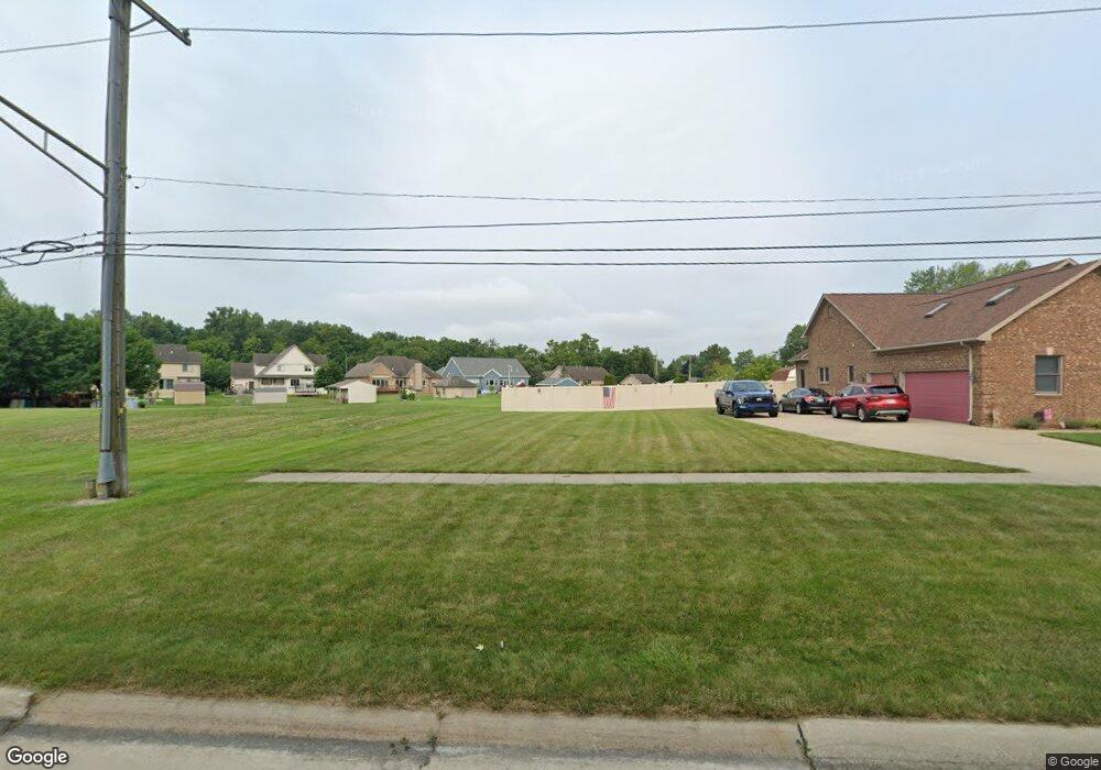
31694 Olmstead Rd Unit Bldg-Unit Rockwood, MI 48173
Estimated Value: $169,075 - $429,000
--
Bed
--
Bath
--
Sq Ft
0.31
Acres
About This Home
This home is located at 31694 Olmstead Rd Unit Bldg-Unit, Rockwood, MI 48173 and is currently estimated at $304,358. 31694 Olmstead Rd Unit Bldg-Unit is a home located in Wayne County with nearby schools including Oscar A. Carlson High School, Summit Academy - Flat Rock, and Calvary Christian Academy.
Ownership History
Date
Name
Owned For
Owner Type
Purchase Details
Closed on
Mar 23, 2022
Sold by
Forst James J and Forst Susan M
Bought by
Ward-Zanotti Jason and Ward-Zanotti Anthony
Current Estimated Value
Purchase Details
Closed on
Jul 31, 2020
Sold by
Bruner Rosanne and Bruner Robert
Bought by
Forst James J and Forst Susan M
Purchase Details
Closed on
Jan 11, 2018
Sold by
Treasurer City Of Rockwood
Bought by
Bruner Rosanne
Purchase Details
Closed on
Aug 22, 2014
Sold by
Wayne County Treasurer
Bought by
Treasurer City Of Rockwood
Create a Home Valuation Report for This Property
The Home Valuation Report is an in-depth analysis detailing your home's value as well as a comparison with similar homes in the area
Home Values in the Area
Average Home Value in this Area
Purchase History
| Date | Buyer | Sale Price | Title Company |
|---|---|---|---|
| Ward-Zanotti Jason | $16,000 | Michigan Title Insurance Agenc | |
| Forst James J | $17,000 | Michigan Title Ins Agcy Inc | |
| Bruner Rosanne | $12,500 | Michigan Title Ins Agncy Inc | |
| Treasurer City Of Rockwood | $3,920 | None Available |
Source: Public Records
Tax History Compared to Growth
Tax History
| Year | Tax Paid | Tax Assessment Tax Assessment Total Assessment is a certain percentage of the fair market value that is determined by local assessors to be the total taxable value of land and additions on the property. | Land | Improvement |
|---|---|---|---|---|
| 2025 | $1,099 | $10,000 | $0 | $0 |
| 2024 | $1,099 | $20,000 | $0 | $0 |
| 2023 | $1,099 | $20,000 | $0 | $0 |
| 2022 | $1,385 | $20,000 | $0 | $0 |
| 2021 | $1,396 | $20,000 | $0 | $0 |
| 2020 | $999 | $15,800 | $0 | $0 |
| 2019 | $981 | $14,000 | $0 | $0 |
| 2018 | $0 | $0 | $0 | $0 |
| 2017 | $0 | $0 | $0 | $0 |
| 2016 | $1,208 | $0 | $0 | $0 |
| 2015 | $1,208 | $0 | $0 | $0 |
| 2013 | $1,208 | $12,200 | $0 | $0 |
| 2012 | $714 | $11,800 | $11,800 | $0 |
Source: Public Records
Map
Nearby Homes
- 31694 Olmstead Rd
- 31666 E Ditner Dr
- 23135 Candace Dr
- 23452 Astrid Ln
- 31651 Hazel St
- 31792 Lafler Dr
- 31658 Williams Ct
- 30026 Huron Meadows Dr
- 001 Woodruff Rd
- 22421 Huron River Dr
- 32338 Church St
- 0 Gildersleeve St
- 0 Woodruff Unit 20251041652
- 30563 Bradbury Dr
- 0 Huron River Dr Unit 20251015696
- 30218 Torry Ave
- 5954 Purple Martin Dr
- 23772 Koszuta
- 33172 Swallow Dr
- 21301 Woodruff Rd
- 31692 Olmstead Rd
- 23116 W Ditner Dr
- 31686 Olmstead Rd
- 23130 W Ditner Dr
- 31672 Olmstead Rd
- 19942 Twin Olmstead Rd
- 31691 Olmstead Rd
- 23115 W Ditner Dr
- 31699 Olmstead Rd
- 23142 W Ditner Dr
- 31683 Olmstead Rd
- 31711 Olmstead Rd
- 23240 Astrid Ct
- 31658 Olmstead Rd
- 23127 W Ditner Dr
- 31671 Olmstead Rd
- 23234 Astrid Ct
- 31723 Olmstead Rd
- 23141 W Ditner Dr
- 31657 Olmstead Rd