31696 Circle Dr Mc Arthur, OH 45651
Estimated Value: $133,000 - $225,000
2
Beds
1
Bath
1,215
Sq Ft
$158/Sq Ft
Est. Value
About This Home
This home is located at 31696 Circle Dr, Mc Arthur, OH 45651 and is currently estimated at $192,243, approximately $158 per square foot. 31696 Circle Dr is a home with nearby schools including Vinton County High School.
Ownership History
Date
Name
Owned For
Owner Type
Purchase Details
Closed on
Jun 28, 2022
Sold by
Reed Stephanie L and Reed Stephen C
Bought by
Chaney Erica D and Chaney Aaron E
Current Estimated Value
Home Financials for this Owner
Home Financials are based on the most recent Mortgage that was taken out on this home.
Original Mortgage
$140,000
Outstanding Balance
$132,941
Interest Rate
4.63%
Mortgage Type
Construction
Estimated Equity
$59,302
Purchase Details
Closed on
Jan 7, 2017
Sold by
Dutcher Paul L and Ousley Mandy M J
Bought by
Reed Stephen C and Reed Stephanie L
Create a Home Valuation Report for This Property
The Home Valuation Report is an in-depth analysis detailing your home's value as well as a comparison with similar homes in the area
Home Values in the Area
Average Home Value in this Area
Purchase History
| Date | Buyer | Sale Price | Title Company |
|---|---|---|---|
| Chaney Erica D | -- | Northwest Title | |
| Reed Stephen C | $64,000 | None Available |
Source: Public Records
Mortgage History
| Date | Status | Borrower | Loan Amount |
|---|---|---|---|
| Open | Chaney Erica D | $140,000 |
Source: Public Records
Tax History Compared to Growth
Tax History
| Year | Tax Paid | Tax Assessment Tax Assessment Total Assessment is a certain percentage of the fair market value that is determined by local assessors to be the total taxable value of land and additions on the property. | Land | Improvement |
|---|---|---|---|---|
| 2024 | $1,851 | $53,660 | $5,250 | $48,410 |
| 2023 | $1,564 | $41,470 | $3,650 | $37,820 |
| 2022 | $1,098 | $29,020 | $3,650 | $25,370 |
| 2021 | $1,093 | $29,020 | $3,650 | $25,370 |
| 2020 | $1,056 | $26,660 | $3,160 | $23,500 |
| 2019 | $1,054 | $26,660 | $3,160 | $23,500 |
| 2018 | $1,006 | $26,660 | $3,160 | $23,500 |
| 2017 | $971 | $24,220 | $2,870 | $21,350 |
| 2016 | $605 | $24,220 | $2,870 | $21,350 |
| 2015 | $531 | $23,180 | $2,700 | $20,480 |
| 2014 | $531 | $23,180 | $2,700 | $20,480 |
Source: Public Records
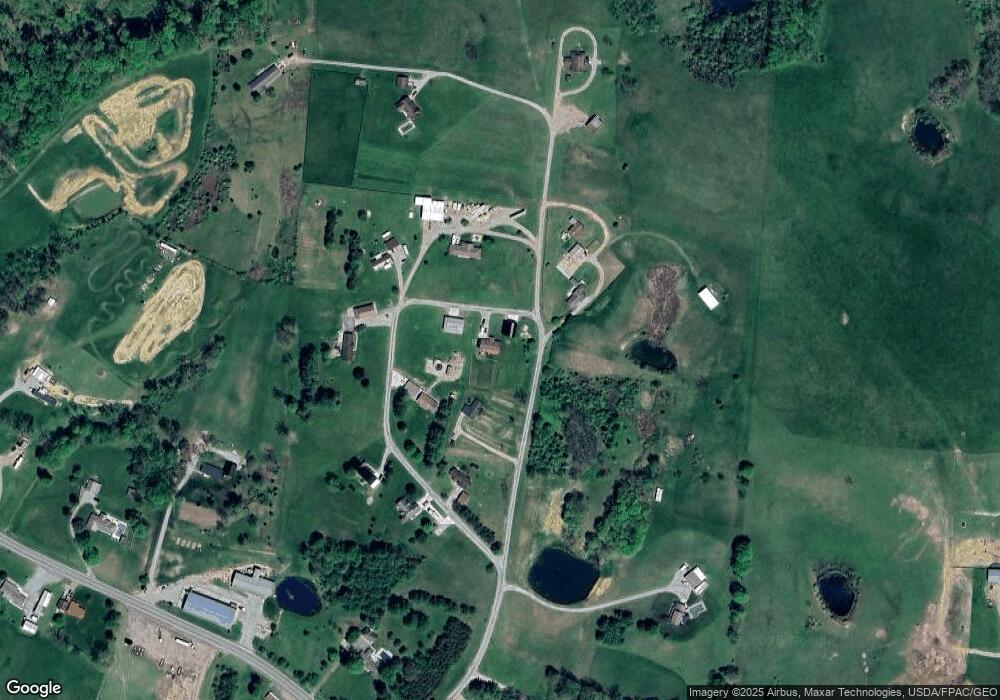
Map
Nearby Homes
- 62722 U S 50
- 31811 Overview Dr
- 643 W Main St
- 62130 Locker Plant Rd
- 61823 U S 50
- 32103 State Route 93
- 211 N Spring St
- 626 Engle Dr
- 106 E Maple Dr
- 206 N Sugar St
- 206 W Main St
- 0 Highway 50
- 0 Wolf Hill Rd Unit (Tract 7 Wolf Hill)
- 0 Wolf Hill Rd Unit (Tract 3 Wolf Hill)
- 0 Wolf Hill Rd Unit (Tract 4 Wolf Hill)
- 0 Wolf Hill Rd Unit (Tract 2 Wolf Hill)
- 0 Wolf Hill Rd Unit 25026051
- 0 Wolf Hill Rd Unit (Tract 5 Wolf Hill)
- 0 Wolf Hill Rd Unit (Tract 6 Wolf Hill)
- 0 Wolf Hill Rd Unit (Tract 1 Wolf Hill)
- 31706 Circle Dr
- 31793 Circle Dr
- 31625 Circle Dr
- 31625 Circle Dr
- 31678 Circle Dr
- 31678 Circle Dr
- 31678 Circle Dr
- 31529 Circle Dr
- 31656 Circle Dr
- 31646 Circle Dr
- 31634 Circle Dr
- 31550 Circle Dr
- 31722 Circle Dr
- 31722 Circle Dr
- 31710 Circle Dr
- 31844 Circle Dr
- 63027 Us Highway 50
- 63027 Us Highway 50
- 31714 Circle Dr
- 31900 Circle Dr