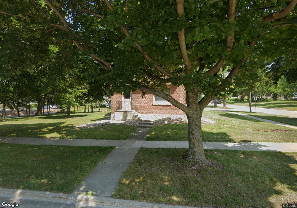
317 4th St de Pere, WI 54115
Estimated Value: $344,000 - $402,000
8
Beds
6
Baths
6,306
Sq Ft
$58/Sq Ft
Est. Value
About This Home
This home is located at 317 4th St, de Pere, WI 54115 and is currently estimated at $364,321, approximately $57 per square foot. 317 4th St is a home located in Brown County with nearby schools including Westwood Elementary School, West De Pere Middle School, and West De Pere High School.
Ownership History
Date
Name
Owned For
Owner Type
Purchase Details
Closed on
Jun 1, 2021
Sold by
Linzmeyer Family Ltd Partnership
Bought by
St Norbert Colleger Inc
Current Estimated Value
Purchase Details
Closed on
Dec 27, 2006
Sold by
Associated Trust Co Na
Bought by
Linzmeyer Family Lp
Create a Home Valuation Report for This Property
The Home Valuation Report is an in-depth analysis detailing your home's value as well as a comparison with similar homes in the area
Home Values in the Area
Average Home Value in this Area
Purchase History
| Date | Buyer | Sale Price | Title Company |
|---|---|---|---|
| St Norbert Colleger Inc | $300,000 | Bay Title & Abstract Inc | |
| Linzmeyer Family Lp | $70,000 | Elite Title Inc | |
| Linzmeyer Family Lp | $70,000 | Elite Title Inc |
Source: Public Records
Tax History
| Year | Tax Paid | Tax Assessment Tax Assessment Total Assessment is a certain percentage of the fair market value that is determined by local assessors to be the total taxable value of land and additions on the property. | Land | Improvement |
|---|---|---|---|---|
| 2025 | $4,614 | $313,200 | $41,100 | $272,100 |
| 2024 | $4,513 | $301,200 | $39,100 | $262,100 |
| 2023 | $4,012 | $257,600 | $39,100 | $218,500 |
| 2022 | $4,050 | $233,400 | $39,100 | $194,300 |
| 2021 | $3,900 | $205,300 | $32,600 | $172,700 |
| 2020 | $3,852 | $191,000 | $32,600 | $158,400 |
| 2019 | $3,639 | $181,200 | $32,600 | $148,600 |
| 2018 | $3,411 | $164,900 | $32,600 | $132,300 |
| 2017 | $3,479 | $164,900 | $32,600 | $132,300 |
| 2016 | $3,501 | $164,900 | $32,600 | $132,300 |
| 2015 | $3,503 | $161,600 | $32,600 | $129,000 |
| 2014 | $3,482 | $161,600 | $32,600 | $129,000 |
| 2013 | $3,482 | $161,600 | $32,600 | $129,000 |
Source: Public Records
Map
Nearby Homes
- 555 Main Ave Unit 111
- 555 Main Ave Unit 206
- 555 Main Ave Unit 113
- 814 3rd St
- 735 Morning Glory Ln
- 1109 S 6th St
- 412 Fort Howard Ave
- 389 Willie Mays Cir
- 400 Battery Ave
- 308 S Superior St
- 801 S Erie St
- 762 Saint Joseph St
- 1129 Suburban Dr
- 417 Fulton St
- 115 S Washington St
- 318 S Webster Ave
- 1208 S Erie St
- 1258 Cornflower Ct
- 808 Ridgeway Blvd
- 816 Ridgeway Blvd
Your Personal Tour Guide
Ask me questions while you tour the home.