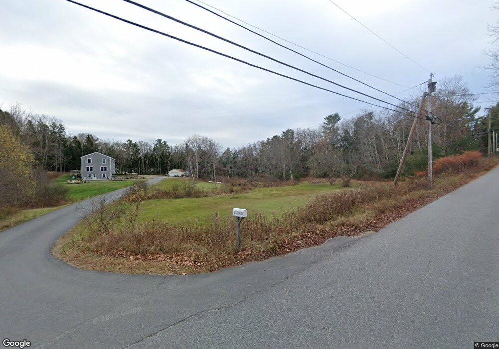
317 Allen Point Rd Harpswell, ME 04079
Harpswell Neck NeighborhoodEstimated Value: $695,000 - $800,000
3
Beds
2
Baths
2,356
Sq Ft
$322/Sq Ft
Est. Value
About This Home
This home is located at 317 Allen Point Rd, Harpswell, ME 04079 and is currently estimated at $758,411, approximately $321 per square foot. 317 Allen Point Rd is a home located in Cumberland County with nearby schools including Mt Ararat High School.
Ownership History
Date
Name
Owned For
Owner Type
Purchase Details
Closed on
Nov 4, 2016
Sold by
Leclair Adam J
Bought by
Leclair Adam J and Leclair Melody J
Current Estimated Value
Home Financials for this Owner
Home Financials are based on the most recent Mortgage that was taken out on this home.
Original Mortgage
$300,000
Outstanding Balance
$241,303
Interest Rate
3.48%
Mortgage Type
Purchase Money Mortgage
Estimated Equity
$517,108
Purchase Details
Closed on
Oct 13, 2009
Sold by
Bock Thomas J and Bock Belinda M
Bought by
Denslow Nola M and Downing Sara
Create a Home Valuation Report for This Property
The Home Valuation Report is an in-depth analysis detailing your home's value as well as a comparison with similar homes in the area
Home Values in the Area
Average Home Value in this Area
Purchase History
| Date | Buyer | Sale Price | Title Company |
|---|---|---|---|
| Leclair Adam J | -- | -- | |
| Denslow Nola M | -- | -- |
Source: Public Records
Mortgage History
| Date | Status | Borrower | Loan Amount |
|---|---|---|---|
| Open | Leclair Adam J | $300,000 | |
| Closed | Denslow Nola M | $174,847 | |
| Previous Owner | Denslow Nola M | $10,000 |
Source: Public Records
Tax History Compared to Growth
Tax History
| Year | Tax Paid | Tax Assessment Tax Assessment Total Assessment is a certain percentage of the fair market value that is determined by local assessors to be the total taxable value of land and additions on the property. | Land | Improvement |
|---|---|---|---|---|
| 2024 | $3,514 | $552,500 | $79,900 | $472,600 |
| 2023 | $3,370 | $552,500 | $79,900 | $472,600 |
| 2022 | $3,260 | $552,500 | $79,900 | $472,600 |
| 2021 | $2,575 | $380,900 | $70,800 | $310,100 |
| 2020 | $4,602 | $380,900 | $70,800 | $310,100 |
| 2019 | $2,548 | $380,300 | $70,800 | $309,500 |
| 2018 | $4,311 | $379,700 | $70,800 | $308,900 |
| 2017 | $4,194 | $368,200 | $70,800 | $297,400 |
| 2016 | $1,160 | $181,300 | $70,800 | $110,500 |
| 2015 | $1,131 | $181,300 | $70,800 | $110,500 |
| 2013 | $1,048 | $181,300 | $70,800 | $110,500 |
Source: Public Records
Map
Nearby Homes
- 1 Mallard Pond Rd
- 41 Spruce Brook Dr
- Lot 2A Allen Point Rd
- Lot 2B Allen Point Rd
- Lot 129 Harpswell Neck Rd
- 1450 Harpswell Neck Rd
- 0 Bayview Rd Unit 2 1632776
- 1689 Harpswell Islands Rd
- 16 Ash Point Rd Unit 16
- 18 Ash Point Rd
- 10 Irene Ave
- 87 Lowells Cove Rd
- 30 Osbourne Row
- 10 S Colony Branch Rd
- 20 Long Point Island
- 6 Kane Ln
- 8 & 2 Kane Ln
- lot C Long Point Rd
- 83 Central Ave
- 46 Blackstone Club Rd
- 37 Mallard Pond Rd
- 1164 Harpswell Neck Rd
- 1149 Harpswell Neck Rd
- 301 Allen Point Rd
- 283 Allen Point Rd
- 195 Allen Point Rd
- 000 Harpswell Neck Road``
- 5 Brook Hollow Dr
- 00 Harpswell Neck Rd
- 1139 Harpswell Neck Rd
- 1236 Harpswell Neck Rd
- 1135 Harpswell Neck Rd
- 1200 Harpswell Neck Rd
- 15 Brook Hollow Dr
- 298 Allen Point Rd
- 286 Allen Point Rd
- 1123 Harpswell Neck Rd
- 0 Mallard Pond Rd
- 1241 Harpswell Neck Rd
- 265 Allen Point Rd