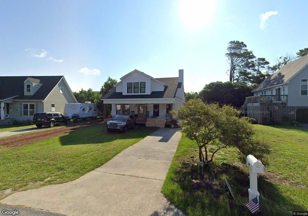
317 Canal Dr Kill Devil Hills, NC 27948
Estimated Value: $543,000 - $2,223,000
3
Beds
2
Baths
2,644
Sq Ft
$395/Sq Ft
Est. Value
About This Home
This home is located at 317 Canal Dr, Kill Devil Hills, NC 27948 and is currently estimated at $1,043,784, approximately $394 per square foot. 317 Canal Dr is a home located in Dare County with nearby schools including Nags Head Elementary School, First Flight Middle School, and First Flight High School.
Ownership History
Date
Name
Owned For
Owner Type
Purchase Details
Closed on
Jun 23, 2021
Sold by
Overton Kathryn Carlson and Beasley Kathryn C
Bought by
Harrington Janine and Harrington James
Current Estimated Value
Purchase Details
Closed on
Jun 26, 2018
Sold by
Hardison Gene A
Bought by
Blomberg Albert A
Purchase Details
Closed on
Jun 12, 2012
Sold by
Overton Joseph Lynn
Bought by
Overton Kathryn Carlson
Create a Home Valuation Report for This Property
The Home Valuation Report is an in-depth analysis detailing your home's value as well as a comparison with similar homes in the area
Home Values in the Area
Average Home Value in this Area
Purchase History
| Date | Buyer | Sale Price | Title Company |
|---|---|---|---|
| Harrington Janine | $285,000 | None Available | |
| Harrington Janine | $1,425,000 | None Listed On Document | |
| Blomberg Albert A | $250,000 | -- | |
| Overton Kathryn Carlson | -- | None Available |
Source: Public Records
Tax History
| Year | Tax Paid | Tax Assessment Tax Assessment Total Assessment is a certain percentage of the fair market value that is determined by local assessors to be the total taxable value of land and additions on the property. | Land | Improvement |
|---|---|---|---|---|
| 2025 | $2,922 | $717,200 | $161,100 | $556,100 |
| 2024 | $3,046 | $537,500 | $80,600 | $456,900 |
| 2023 | $782 | $103,500 | $80,600 | $22,900 |
| 2022 | $1,484 | $205,900 | $80,600 | $125,300 |
| 2021 | $1,484 | $205,900 | $80,600 | $125,300 |
| 2020 | $1,484 | $205,900 | $80,600 | $125,300 |
| 2019 | $1,145 | $131,600 | $56,600 | $75,000 |
| 2018 | $1,175 | $138,100 | $56,600 | $81,500 |
| 2017 | $1,175 | $138,100 | $56,600 | $81,500 |
| 2016 | $1,120 | $138,100 | $56,600 | $81,500 |
| 2014 | $1,078 | $138,100 | $56,600 | $81,500 |
Source: Public Records
Map
Nearby Homes
- 107 Porthole Ct Unit Lot 33
- 100 E Landing Dr
- 102 E Landing Dr Unit Lot 2
- 102 Cove Ct Unit 28
- 516 Anika Way Unit Lot 34
- 512 Anika Way Unit Lot 36
- 524 Anika Way Unit Lot 30
- 1515 Dogwood Ln Unit Lot 58
- 1204 Indian Dr Unit Lot 29
- 518 Parkwood Dr Unit Lot 10A
- 1304 Harpoon Dr Unit Lot 70
- 1624 N Virginia Dare Trail Unit Lot 7
- 1302 Harpoon Dr Unit Lot 68
- 1541 N Virginia Dare Trail Unit L-3
- 1505 N Virginia Dare Trail Unit Lot 19
- 1303 Tranquil Place Unit Lot 67
- 609 Zen Ln Unit Lot 55
- 1319 N Virginia Dare Trail Unit 4F
- 1319 N Virginia Dare Trail Unit 3S
- 1319 N Virginia Dare Trail Unit 3E
- 317 Canal Dr Unit 9
- 319 Canal Dr Unit Lot 10
- 319 Canal Dr
- 315 Canal Dr
- 321 Canal Dr
- 323 Evans Place
- 313 Canal Dr
- 330 Canal Dr Unit Lot170 Sec1
- 330 Canal Dr Unit 170
- 330 Canal Dr
- 328 Canal Dr
- 311 Canal Dr
- 332 Canal Dr
- 332 Canal Dr
- 325 Evans Place
- 326 Canal Dr
- 400 Canal Dr Unit 168
- 400 Canal Dr
- 333 Evans Place
- 1513 Glider Ct
Your Personal Tour Guide
Ask me questions while you tour the home.