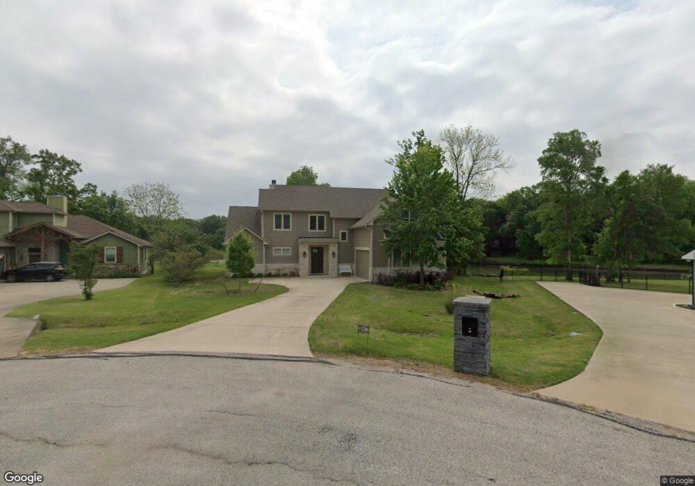
317 Canal St Corsicana, TX 75109
Estimated Value: $693,164 - $1,091,000
--
Bed
--
Bath
2,777
Sq Ft
$321/Sq Ft
Est. Value
About This Home
This home is located at 317 Canal St, Corsicana, TX 75109 and is currently estimated at $890,791, approximately $320 per square foot. 317 Canal St is a home with nearby schools including Mildred Elementary School and Mildred High School.
Ownership History
Date
Name
Owned For
Owner Type
Purchase Details
Closed on
Jan 15, 2016
Sold by
Bibb William W and Bibb Suzanne
Bought by
Bass Wade D and Bass Jayne W
Current Estimated Value
Purchase Details
Closed on
Jun 20, 2008
Sold by
Texas Land & Lakes Ltd
Bought by
Bibb William W and Bibb Suzanne
Home Financials for this Owner
Home Financials are based on the most recent Mortgage that was taken out on this home.
Original Mortgage
$130,000
Interest Rate
6.05%
Mortgage Type
Future Advance Clause Open End Mortgage
Create a Home Valuation Report for This Property
The Home Valuation Report is an in-depth analysis detailing your home's value as well as a comparison with similar homes in the area
Home Values in the Area
Average Home Value in this Area
Purchase History
| Date | Buyer | Sale Price | Title Company |
|---|---|---|---|
| Bass Wade D | -- | None Available | |
| Bibb William W | -- | None Available |
Source: Public Records
Mortgage History
| Date | Status | Borrower | Loan Amount |
|---|---|---|---|
| Closed | Bibb William W | $130,000 |
Source: Public Records
Tax History Compared to Growth
Tax History
| Year | Tax Paid | Tax Assessment Tax Assessment Total Assessment is a certain percentage of the fair market value that is determined by local assessors to be the total taxable value of land and additions on the property. | Land | Improvement |
|---|---|---|---|---|
| 2025 | $11,641 | $755,440 | $195,980 | $559,460 |
| 2024 | $11,249 | $730,010 | $153,330 | $576,680 |
| 2023 | $10,244 | $668,160 | $111,510 | $556,650 |
| 2022 | $7,709 | $459,140 | $87,120 | $372,020 |
| 2021 | $8,447 | $434,280 | $69,700 | $364,580 |
| 2020 | $8,813 | $434,280 | $69,700 | $364,580 |
| 2019 | $8,844 | $412,940 | $64,120 | $348,820 |
| 2018 | $8,383 | $412,940 | $64,120 | $348,820 |
| 2017 | $4,217 | $208,070 | $20,910 | $187,160 |
| 2016 | $1,773 | $87,500 | $80,000 | $7,500 |
| 2015 | -- | $67,500 | $60,000 | $7,500 |
| 2014 | -- | $72,500 | $65,000 | $7,500 |
Source: Public Records
Map
Nearby Homes
- Lot 105-R Waters Edge Dr
- Lot 441 Waters Edge Dr
- 442 Waters Edge Dr
- Lot 119 Boat Slip A1 Waters Edge Dr
- 715 Hatteras Dr
- Lot 482 Canal St
- 116 Polaris Dr
- 185 Cobalt Cove
- Lot 389 Polaris Dr
- Lot 392 Polaris Dr
- Lot 390 Polaris Dr
- Lot 391 Polaris Dr
- Lot 58 Grandview Dr
- 190 Cobalt Cove
- Lot 68 Grandview Dr
- 480 Canal St
- Lot 45 Canal St
- Lot 411 Sailboat Dr
- Lot 78 Clubhouse Dr
- Lot 26 Clubhouse Dr
- 314 Canal St
- 315 Canal St
- 315 Canal St
- 313 Canal St
- Lot 452 Canal
- Lot 480 Canal St
- Lot 488 Hatteras Dr
- 305 Canal St
- 856 Waters Edge Dr
- 904 Donzi Ct
- 824 Waters Edge Dr
- Lot 484 Canal Bs A33 St
- 878 Waters Edge Dr
- 902 Donzi Ct
- 902 Donzi Ct
- L 439 Waters Edge Dr
- Lot 10-R Waters Edge Dr
- Lot 430 Waters Edge Dr
- Lot 98 Waters Edge Dr
- Lot 439 Waters Edge Dr