317 County Road 4222 Poplar Bluff, MO 63901
Estimated Value: $168,000 - $487,000
--
Bed
--
Bath
2,692
Sq Ft
$114/Sq Ft
Est. Value
About This Home
This home is located at 317 County Road 4222, Poplar Bluff, MO 63901 and is currently estimated at $307,715, approximately $114 per square foot. 317 County Road 4222 is a home with nearby schools including Oak Grove Elementary School, Poplar Bluff Fifth & Sixth Grade Center, and Poplar Bluff Junior High School.
Ownership History
Date
Name
Owned For
Owner Type
Purchase Details
Closed on
Jan 26, 2024
Sold by
Buechler Lanora F
Bought by
Lanora Buechler Revocable Inter-Vivos Trust and Buechler
Current Estimated Value
Purchase Details
Closed on
Sep 15, 2016
Sold by
Fox Leslie and Fox Karen
Bought by
Batson Donald and Batson Lanora F
Purchase Details
Closed on
Nov 21, 2012
Sold by
Allen Susan J and Allen Barbara M
Bought by
Batson Donald R and Batson Lanora F
Home Financials for this Owner
Home Financials are based on the most recent Mortgage that was taken out on this home.
Original Mortgage
$80,000
Interest Rate
3.43%
Mortgage Type
New Conventional
Create a Home Valuation Report for This Property
The Home Valuation Report is an in-depth analysis detailing your home's value as well as a comparison with similar homes in the area
Home Values in the Area
Average Home Value in this Area
Purchase History
| Date | Buyer | Sale Price | Title Company |
|---|---|---|---|
| Lanora Buechler Revocable Inter-Vivos Trust | -- | None Listed On Document | |
| Batson Donald | -- | None Available | |
| Batson Donald R | -- | None Available |
Source: Public Records
Mortgage History
| Date | Status | Borrower | Loan Amount |
|---|---|---|---|
| Previous Owner | Batson Donald R | $80,000 |
Source: Public Records
Tax History Compared to Growth
Tax History
| Year | Tax Paid | Tax Assessment Tax Assessment Total Assessment is a certain percentage of the fair market value that is determined by local assessors to be the total taxable value of land and additions on the property. | Land | Improvement |
|---|---|---|---|---|
| 2024 | $14 | $30,770 | $0 | $0 |
| 2023 | $1,370 | $30,770 | $0 | $0 |
| 2022 | $1,324 | $29,780 | $0 | $0 |
| 2021 | $1,324 | $29,780 | $0 | $0 |
| 2020 | $1,253 | $27,750 | $0 | $0 |
| 2019 | $1,252 | $27,750 | $0 | $0 |
| 2018 | $1,252 | $27,750 | $0 | $0 |
| 2017 | -- | $27,750 | $0 | $0 |
| 2016 | -- | $27,750 | $0 | $0 |
| 2015 | -- | $27,750 | $0 | $0 |
| 2014 | -- | $25,910 | $0 | $0 |
| 2012 | $873 | $22,930 | $0 | $0 |
Source: Public Records
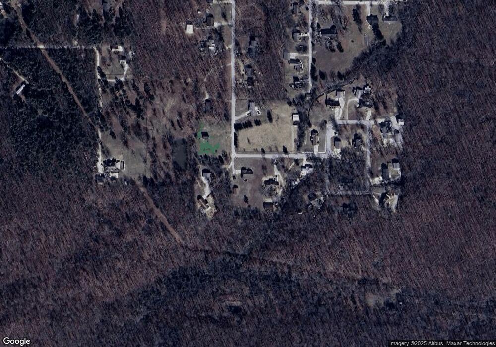
Map
Nearby Homes
- 0 Brownwood Trails #18 Unit MIS25061746
- 0 County Road 421
- 858 County Road 420
- 6708 Brown Ln
- 3221 Scarlet Dr
- 16 Boulder Trail
- 0 Boulder Trail
- 1802 Woodland Meadows Dr
- 0 Lots 8-13 Mallard Pointe Sub
- 0 Mallard Trail Unit MIS25057052
- 607 County Road 423
- 205 Batson Lake Ln
- 9711 Highway Pp
- 3011 Wolf Run
- 139 County Road 425
- 6203 Pinecrest Dr
- 3841 County Road 441
- 4 Woodland Heights W
- 9 Woodland Heights W
- 14 Woodland Heights W
- 351 County Road 4222
- 301 County Road 4222
- 391 County Road 4222
- 264 County Road 4222
- 453 County Road 4222
- 243 County Road 4222
- 404 Cr 4222
- 482 County Road 4222
- 95 Monarch Ln
- 216 County Road 4222
- 463 County Road 4222
- 552 Cr 4222
- 552 County Road 4222
- 568 County Road 4222
- 65 Monarch Ln
- 176 County Road 4222
- 169 County Road 4222
- 581 County Road 4222
- 4213 Samantha Ln
- 513 County Road 4222