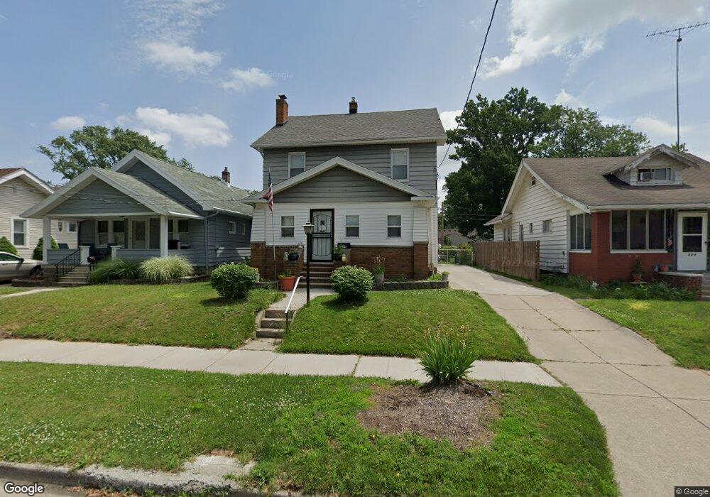
317 Decatur St Toledo, OH 43609
Southside NeighborhoodEstimated Value: $101,000 - $111,527
3
Beds
2
Baths
1,630
Sq Ft
$65/Sq Ft
Est. Value
About This Home
This home is located at 317 Decatur St, Toledo, OH 43609 and is currently estimated at $105,382, approximately $64 per square foot. 317 Decatur St is a home located in Lucas County with nearby schools including Burroughs Elementary School, Bowsher High School, and Explorers Academy of Science and Technology.
Ownership History
Date
Name
Owned For
Owner Type
Purchase Details
Closed on
Aug 14, 2009
Sold by
Breseman Scott S and Breseman Brandi L
Bought by
Hill Tanya D
Current Estimated Value
Home Financials for this Owner
Home Financials are based on the most recent Mortgage that was taken out on this home.
Original Mortgage
$75,295
Outstanding Balance
$49,467
Interest Rate
5.36%
Mortgage Type
FHA
Estimated Equity
$55,915
Purchase Details
Closed on
Feb 19, 1992
Sold by
Breseman Scott S
Create a Home Valuation Report for This Property
The Home Valuation Report is an in-depth analysis detailing your home's value as well as a comparison with similar homes in the area
Home Values in the Area
Average Home Value in this Area
Purchase History
| Date | Buyer | Sale Price | Title Company |
|---|---|---|---|
| Hill Tanya D | $80,400 | Birch Tree Title Agency | |
| -- | -- | -- |
Source: Public Records
Mortgage History
| Date | Status | Borrower | Loan Amount |
|---|---|---|---|
| Open | Hill Tanya D | $75,295 |
Source: Public Records
Tax History Compared to Growth
Tax History
| Year | Tax Paid | Tax Assessment Tax Assessment Total Assessment is a certain percentage of the fair market value that is determined by local assessors to be the total taxable value of land and additions on the property. | Land | Improvement |
|---|---|---|---|---|
| 2024 | $763 | $31,745 | $5,740 | $26,005 |
| 2023 | $1,091 | $23,100 | $5,040 | $18,060 |
| 2022 | $1,100 | $23,100 | $5,040 | $18,060 |
| 2021 | $1,086 | $23,100 | $5,040 | $18,060 |
| 2020 | $1,074 | $20,825 | $4,655 | $16,170 |
| 2019 | $1,043 | $20,825 | $4,655 | $16,170 |
| 2018 | $957 | $20,825 | $4,655 | $16,170 |
| 2017 | $955 | $18,725 | $3,640 | $15,085 |
| 2016 | $927 | $53,500 | $10,400 | $43,100 |
| 2015 | $883 | $53,500 | $10,400 | $43,100 |
| 2014 | $628 | $18,730 | $3,640 | $15,090 |
| 2013 | $628 | $18,730 | $3,640 | $15,090 |
Source: Public Records
Map
Nearby Homes
- 321 Mayberry St
- 226 Somerset St
- 304 Mayberry St
- 2126 Airport Hwy
- 224 S Fearing Blvd
- 440 Somerset St
- 518 Myers St
- 142 S Detroit Ave
- 2332 Airline Ave
- 531 Shasta Dr
- 144 Whiting Ave
- 140 Whiting Ave
- 1754 Finch St
- 541 Apple Ave
- 145 Whiting Ave
- 512 Woodsdale Ave
- 1777 South Ave
- 569 Apple Ave
- 649 Wright Ave
- 705 Wright Ave
- 315 Decatur St
- 321 Decatur St
- 311 Decatur St
- 325 Decatur St
- 305 Decatur St
- 329 Decatur St
- 320 Somerset St
- 322 Somerset St
- 301 Decatur St
- 314 Somerset St
- 333 Decatur St
- 324 Somerset St
- 308 Somerset St
- 318 Decatur St
- 320 Decatur St
- 314 Decatur St
- 332 Somerset St
- 310 Decatur St
- 302 Somerset St
- 328 Decatur St