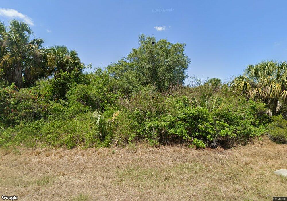
317 Flynn St Port Charlotte, FL 33954
Estimated Value: $14,426 - $383,000
--
Bed
--
Bath
--
Sq Ft
0.36
Acres
About This Home
This home is located at 317 Flynn St, Port Charlotte, FL 33954 and is currently estimated at $121,107. 317 Flynn St is a home located in Charlotte County with nearby schools including Liberty Elementary School, Murdock Middle School, and Port Charlotte High School.
Ownership History
Date
Name
Owned For
Owner Type
Purchase Details
Closed on
Oct 22, 2021
Sold by
Prime Florida Land Phase 2 Corp
Bought by
Ifurng Arthur Go and Ifurung Vangie Nicolas
Current Estimated Value
Purchase Details
Closed on
Nov 30, 2020
Sold by
Daugaard Milovale
Bought by
Prime Florida Land Phase 2 Corp
Purchase Details
Closed on
Oct 29, 2004
Sold by
Grajales Fany
Bought by
Daugaard Milovale
Purchase Details
Closed on
Dec 19, 2003
Sold by
Swearingen John C
Bought by
Grajales Fany
Create a Home Valuation Report for This Property
The Home Valuation Report is an in-depth analysis detailing your home's value as well as a comparison with similar homes in the area
Home Values in the Area
Average Home Value in this Area
Purchase History
| Date | Buyer | Sale Price | Title Company |
|---|---|---|---|
| Ifurng Arthur Go | $13,900 | Shemtov Title Llc | |
| Prime Florida Land Phase 2 Corp | $3,700 | First International Ttl Inc | |
| Prime Florida Land Phase 2 Corp | $3,700 | First International Title | |
| Daugaard Milovale | $24,900 | Team Title Insurance Inc | |
| Grajales Fany | $8,500 | Sun Title & Abstract Co |
Source: Public Records
Tax History Compared to Growth
Tax History
| Year | Tax Paid | Tax Assessment Tax Assessment Total Assessment is a certain percentage of the fair market value that is determined by local assessors to be the total taxable value of land and additions on the property. | Land | Improvement |
|---|---|---|---|---|
| 2024 | $519 | $13,600 | $13,600 | -- |
| 2023 | $519 | $12,155 | $0 | $0 |
| 2022 | $481 | $11,050 | $11,050 | $0 |
| 2021 | $372 | $4,080 | $4,080 | $0 |
| 2020 | $361 | $3,910 | $3,910 | $0 |
| 2019 | $357 | $3,910 | $3,910 | $0 |
| 2018 | $345 | $3,400 | $3,400 | $0 |
| 2017 | $367 | $5,185 | $5,185 | $0 |
| 2016 | $356 | $4,252 | $0 | $0 |
| 2015 | $357 | $4,252 | $0 | $0 |
| 2014 | $348 | $4,221 | $0 | $0 |
Source: Public Records
Map
Nearby Homes
- 325 Moody St
- 341 Moody St
- 346 Rutland Cir
- 456 Rutland Cir
- 19932 Kenilworth Blvd
- 19908 Kenilworth Blvd
- 598 Rutland Cir
- 347 Lawler St
- 301 Day Break Cir
- 354 Lawler St
- 378 Lawler St
- 395 Lawler St
- 19474 Strathcona Ave
- 19393 Villanova Ave
- 307 Theresa Blvd
- 244 Denver Dr
- 371 Lawler St
- 655 Rutland Cir
- 19401 Villanova Ave
- 153 Theresa Blvd
- 317 Flynn (Lot 3) St
- 317 Vilna St
- 164 Bee Gee St
- 19123 Raymond Ave
- 316 Moody St
- 335 Flynn St
- 441 Admiral St
- 411 Admiral St St
- 19160 Addison Ave
- 22094 Doris Ave
- 20262 Kenilworth Blvd SE
- 429 Liddy St
- 296 Puritan St
- 357 Moody St
- 367 Moody St
- 343 Flynn St
- 326 Denver Dr
- 318 Denver Dr
- 342 Denver Dr
- 315 Moody St
