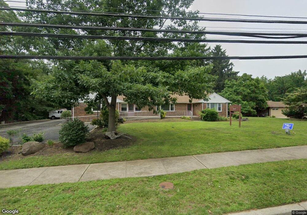
317 Forsgate Dr Monroe Township, NJ 08831
Estimated Value: $455,248
3
Beds
1
Bath
2,290
Sq Ft
$199/Sq Ft
Est. Value
About This Home
This home is located at 317 Forsgate Dr, Monroe Township, NJ 08831 and is currently estimated at $455,248, approximately $198 per square foot. 317 Forsgate Dr is a home located in Middlesex County with nearby schools including Barclay Brook Elementary School, Brookside Elementary School, and Monroe Township Middle School.
Ownership History
Date
Name
Owned For
Owner Type
Purchase Details
Closed on
Jan 11, 2024
Sold by
Diffendal Debra
Bought by
Toto Antonio J and Cosgrove Cathy
Current Estimated Value
Purchase Details
Closed on
Oct 11, 2006
Sold by
Betts Beatrice
Bought by
Toto Anthony
Home Financials for this Owner
Home Financials are based on the most recent Mortgage that was taken out on this home.
Original Mortgage
$380,000
Interest Rate
6.48%
Mortgage Type
Commercial
Create a Home Valuation Report for This Property
The Home Valuation Report is an in-depth analysis detailing your home's value as well as a comparison with similar homes in the area
Home Values in the Area
Average Home Value in this Area
Purchase History
| Date | Buyer | Sale Price | Title Company |
|---|---|---|---|
| Toto Antonio J | $400,000 | First American Title Insurance | |
| Toto Antonio J | $400,000 | First American Title Insurance | |
| Toto Anthony | $445,300 | -- |
Source: Public Records
Mortgage History
| Date | Status | Borrower | Loan Amount |
|---|---|---|---|
| Previous Owner | Toto Anthony | $380,000 |
Source: Public Records
Tax History Compared to Growth
Tax History
| Year | Tax Paid | Tax Assessment Tax Assessment Total Assessment is a certain percentage of the fair market value that is determined by local assessors to be the total taxable value of land and additions on the property. | Land | Improvement |
|---|---|---|---|---|
| 2025 | $12,496 | $432,100 | $187,500 | $244,600 |
| 2024 | $12,064 | $432,100 | $187,500 | $244,600 |
| 2023 | $12,064 | $432,100 | $187,500 | $244,600 |
| 2022 | $11,844 | $432,100 | $187,500 | $244,600 |
| 2021 | $8,820 | $432,100 | $187,500 | $244,600 |
| 2020 | $11,796 | $432,100 | $187,500 | $244,600 |
| 2019 | $11,520 | $432,100 | $187,500 | $244,600 |
| 2018 | $11,399 | $432,100 | $187,500 | $244,600 |
| 2017 | $11,226 | $432,100 | $187,500 | $244,600 |
| 2016 | $11,049 | $432,100 | $187,500 | $244,600 |
| 2015 | $10,772 | $432,100 | $187,500 | $244,600 |
| 2014 | $10,392 | $432,100 | $187,500 | $244,600 |
Source: Public Records
Map
Nearby Homes
- 54 Dogwood Ct Unit 112
- 58 Hickory Ct
- 11 Deerfield Ln Unit 6
- 14 Deerfield Ln Unit 15
- 14 Deerfield Ln
- 4 Deer Path
- 22 Half Acre Rd
- 26 Half Acre Rd
- 3 Peachtree Ln
- 16 Moorland Blvd
- 19 Christinalynn Dr
- 16 Bermuda Dunes Dr
- 12 Whitehall Rd
- 138 Plymouth Ln Unit A
- 31 Sherwood Dr
- 158B Pelham Ln Unit B
- 18 Seminole Ct
- 137 Plymouth Ln
- 2 Golfview Ct
- 40 Concord Ln Unit B