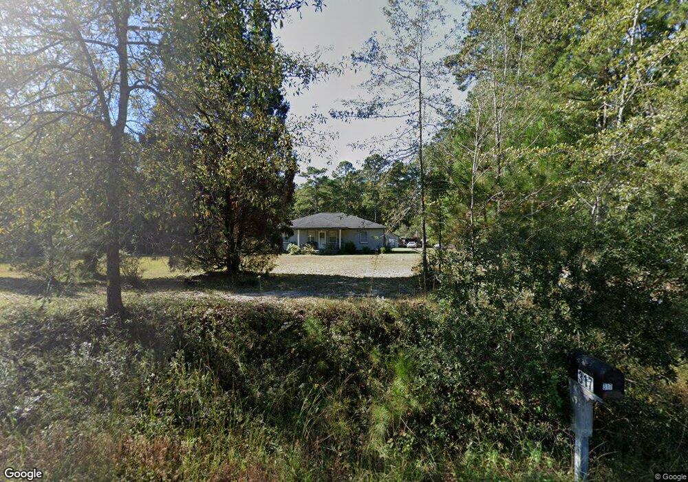
317 Gants Rd Moncks Corner, SC 29461
Estimated Value: $233,000 - $327,000
3
Beds
2
Baths
1,653
Sq Ft
$177/Sq Ft
Est. Value
About This Home
This home is located at 317 Gants Rd, Moncks Corner, SC 29461 and is currently estimated at $292,721, approximately $177 per square foot. 317 Gants Rd is a home located in Berkeley County with nearby schools including Carolyn Lewis School, Cane Bay High School, and Northwood Academy.
Ownership History
Date
Name
Owned For
Owner Type
Purchase Details
Closed on
Jun 5, 2020
Sold by
Wilhite Lori A and The Wilhite Living Trust
Bought by
Loy Lynn Mcgraw
Current Estimated Value
Purchase Details
Closed on
Jun 23, 2014
Sold by
Wilhite Lori and Wilhite Lori A
Bought by
Wilhite Lori A and Wilhite Living Trust
Purchase Details
Closed on
Nov 29, 2013
Sold by
Estate Of Laurie Wallas Gilliam and Wilhite Lori
Bought by
Gilliam Tyler Andrew and Wilhite Lori
Purchase Details
Closed on
Oct 25, 2010
Sold by
Oakley James V
Bought by
Wells Fargo Financial South Carolina Inc
Purchase Details
Closed on
Jan 6, 2010
Sold by
Wells Fargo Financial South Carolina Inc
Bought by
Gilliam Laurie Wallas
Create a Home Valuation Report for This Property
The Home Valuation Report is an in-depth analysis detailing your home's value as well as a comparison with similar homes in the area
Purchase History
| Date | Buyer | Sale Price | Title Company |
|---|---|---|---|
| Loy Lynn Mcgraw | $152,500 | None Available | |
| Wilhite Lori A | -- | -- | |
| Gilliam Tyler Andrew | -- | -- | |
| Wells Fargo Financial South Carolina Inc | $2,500 | -- | |
| Gilliam Laurie Wallas | $62,000 | -- |
Source: Public Records
Tax History
| Year | Tax Paid | Tax Assessment Tax Assessment Total Assessment is a certain percentage of the fair market value that is determined by local assessors to be the total taxable value of land and additions on the property. | Land | Improvement |
|---|---|---|---|---|
| 2025 | $859 | $169,280 | $97,378 | $71,902 |
| 2024 | $818 | $6,771 | $3,895 | $2,876 |
| 2023 | $818 | $6,771 | $3,895 | $2,876 |
| 2022 | $816 | $5,888 | $2,584 | $3,304 |
| 2021 | $2,537 | $4,670 | $2,610 | $2,061 |
| 2020 | $1,459 | $4,671 | $2,610 | $2,061 |
| 2019 | $1,456 | $4,671 | $2,610 | $2,061 |
| 2018 | $1,366 | $4,062 | $2,250 | $1,812 |
| 2017 | $1,306 | $4,062 | $2,250 | $1,812 |
| 2016 | $1,317 | $4,060 | $2,250 | $1,810 |
| 2015 | $1,260 | $4,060 | $2,250 | $1,810 |
| 2014 | $2,366 | $4,060 | $2,250 | $1,810 |
| 2013 | -- | $4,060 | $2,250 | $1,810 |
Source: Public Records
Map
Nearby Homes
- 321 N Mano St
- 114 Lakewood Dr
- 214 Cornet St
- 124 Lodestone Ct
- 0 Linden Ct
- 408 Treeline Dr
- 142 Mano St
- 324 E Poplar Branch Dr
- 426 Treeline Dr
- 560 Farrell St
- 0 Garcia Ln Unit 25024268
- 628 Deepwood Ct
- 000 Tullis St
- 0 Tillman Branch Rd Unit 25016941
- 0 Highway 176 Unit 24011116
- 413 Peacock Ln
- 138 Lisenby Dr
- 630 Grandfather Ln
- 207 New Grade Rd
- 1625 Alexander Cir
Your Personal Tour Guide
Ask me questions while you tour the home.