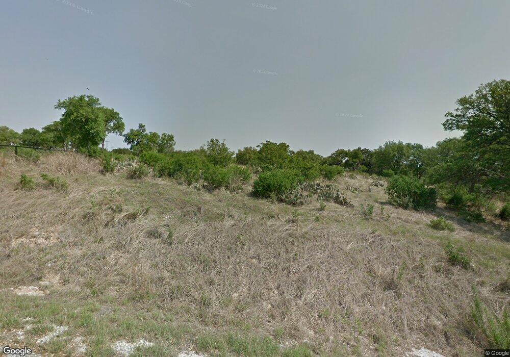
317 High Point Cir Spring Branch, TX 78070
Estimated Value: $742,000 - $842,000
Studio
--
Bath
2,774
Sq Ft
$280/Sq Ft
Est. Value
About This Home
This home is located at 317 High Point Cir, Spring Branch, TX 78070 and is currently estimated at $776,163, approximately $279 per square foot. 317 High Point Cir is a home with nearby schools including Rebecca Creek Elementary School, Mt Valley Middle School, and Canyon Lake High School.
Ownership History
Date
Name
Owned For
Owner Type
Purchase Details
Closed on
Sep 24, 2008
Sold by
Smith John D and Smith Marguerite Gay
Bought by
Oliver William Michael and Oliver Shana Kaye
Current Estimated Value
Home Financials for this Owner
Home Financials are based on the most recent Mortgage that was taken out on this home.
Original Mortgage
$116,000
Outstanding Balance
$77,341
Interest Rate
6.57%
Mortgage Type
Purchase Money Mortgage
Estimated Equity
$698,822
Create a Home Valuation Report for This Property
The Home Valuation Report is an in-depth analysis detailing your home's value as well as a comparison with similar homes in the area
Home Values in the Area
Average Home Value in this Area
Purchase History
| Date | Buyer | Sale Price | Title Company |
|---|---|---|---|
| Oliver William Michael | -- | Stc |
Source: Public Records
Mortgage History
| Date | Status | Borrower | Loan Amount |
|---|---|---|---|
| Open | Oliver William Michael | $116,000 |
Source: Public Records
Tax History Compared to Growth
Tax History
| Year | Tax Paid | Tax Assessment Tax Assessment Total Assessment is a certain percentage of the fair market value that is determined by local assessors to be the total taxable value of land and additions on the property. | Land | Improvement |
|---|---|---|---|---|
| 2025 | $5,175 | $735,360 | -- | -- |
| 2024 | $5,175 | $668,509 | -- | -- |
| 2023 | $5,175 | $607,735 | -- | -- |
| 2022 | $6,527 | $552,486 | -- | -- |
| 2021 | $8,947 | $502,260 | $58,660 | $443,600 |
| 2020 | $924 | $49,860 | $49,860 | $0 |
| 2019 | $779 | $41,060 | $41,060 | $0 |
| 2018 | $777 | $41,060 | $41,060 | $0 |
| 2017 | $630 | $33,520 | $33,520 | $0 |
| 2016 | $525 | $27,930 | $27,930 | $0 |
| 2015 | $525 | $27,930 | $27,930 | $0 |
| 2014 | $525 | $27,930 | $27,930 | $0 |
Source: Public Records
Map
Nearby Homes
- 192 Macaw Ln
- 149 Alondra Ln
- 356 Warbler Dr
- 353 Warbler Dr
- 133 Macaw Ln
- 211 Macaw Ln
- 113 Alondra Ln
- 340 Warbler Dr
- 311 Toucan Dr
- 273 Toucan Dr
- 523 Mystic Pkwy
- 306 Toucan Dr
- 141 Gadwall Way
- 1182 Mystic Shores Blvd
- 160 Gadwall Way
- 237 Toucan Dr
- 308 River Ridge
- 5028 Tanglewood Trail
- 1145 Mystic Shores Blvd
- 123 Heron Pass
- 303 High Point
- 303 High Point Cir
- 310 High Point
- 304 High Point Cir
- 316 High Point Cir
- 261 High Point Cir
- 258 High Point Cir
- 253 High Point Cir
- 368 Warbler Dr
- Lot 1178 Warbler Ln
- Lot 799 Macaw Ln
- 137 Alondra Ln
- 137 Alondra Ln Unit 17
- 141 Alondra Ln
- 364 Warbler Dr
- 153 Alondra Ln
- 249 High Point Cir Unit 10
- 249 High Point Cir
- 193 Macaw Ln
- 178 Macaw Ln
