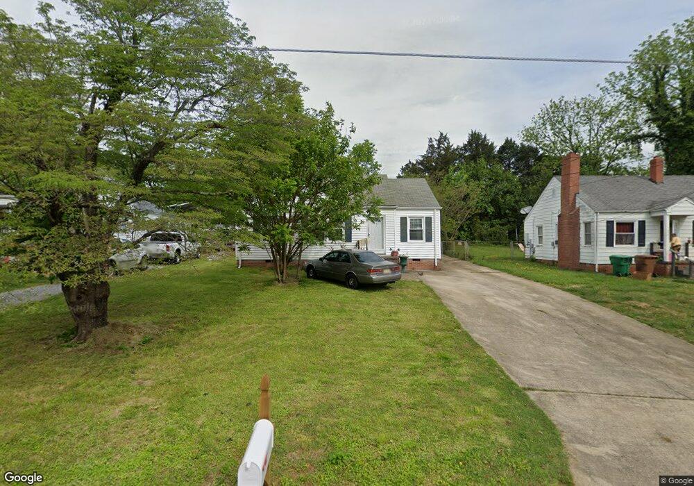
317 Player Dr High Point, NC 27260
Greater High Point NeighborhoodEstimated Value: $70,000 - $124,189
3
Beds
1
Bath
921
Sq Ft
$117/Sq Ft
Est. Value
About This Home
This home is located at 317 Player Dr, High Point, NC 27260 and is currently estimated at $107,297, approximately $116 per square foot. 317 Player Dr is a home located in Guilford County with nearby schools including Fairview Elementary School, Ferndale Middle School, and High Point Central High School.
Ownership History
Date
Name
Owned For
Owner Type
Purchase Details
Closed on
Feb 7, 2017
Sold by
Brown Ii Garland W and Brown Crystal H
Bought by
Raja Abdul Hamid
Current Estimated Value
Purchase Details
Closed on
Dec 1, 2003
Sold by
Brown Garland and Brown Crystal
Bought by
Tickle Stacy C
Purchase Details
Closed on
Sep 14, 2000
Sold by
Brown Garland W and Hancock Crystal Dawn
Bought by
Brown Ii Garland W and Brown Crystal H
Purchase Details
Closed on
Jun 1, 2000
Sold by
Southern Michael Lee & Teresa B
Bought by
Brown Ii Garland W and Hancock Crystal Dawn
Home Financials for this Owner
Home Financials are based on the most recent Mortgage that was taken out on this home.
Original Mortgage
$64,369
Interest Rate
8.14%
Mortgage Type
FHA
Create a Home Valuation Report for This Property
The Home Valuation Report is an in-depth analysis detailing your home's value as well as a comparison with similar homes in the area
Home Values in the Area
Average Home Value in this Area
Purchase History
| Date | Buyer | Sale Price | Title Company |
|---|---|---|---|
| Raja Abdul Hamid | $33,516 | None Available | |
| Tickle Stacy C | $50,000 | -- | |
| Tickle Stacy C | $50,000 | -- | |
| Brown Ii Garland W | -- | -- | |
| Brown Ii Garland W | $65,000 | -- |
Source: Public Records
Mortgage History
| Date | Status | Borrower | Loan Amount |
|---|---|---|---|
| Previous Owner | Brown Ii Garland W | $64,369 |
Source: Public Records
Tax History
| Year | Tax Paid | Tax Assessment Tax Assessment Total Assessment is a certain percentage of the fair market value that is determined by local assessors to be the total taxable value of land and additions on the property. | Land | Improvement |
|---|---|---|---|---|
| 2025 | $857 | $62,200 | $10,000 | $52,200 |
| 2024 | $857 | $62,200 | $10,000 | $52,200 |
| 2023 | $857 | $62,200 | $10,000 | $52,200 |
| 2022 | $838 | $62,200 | $10,000 | $52,200 |
| 2021 | $670 | $48,600 | $10,000 | $38,600 |
| 2020 | $670 | $48,600 | $10,000 | $38,600 |
| 2019 | $670 | $48,600 | $0 | $0 |
| 2018 | $666 | $48,600 | $0 | $0 |
| 2017 | $670 | $48,600 | $0 | $0 |
| 2016 | $792 | $56,500 | $0 | $0 |
| 2015 | $797 | $56,500 | $0 | $0 |
| 2014 | $810 | $56,500 | $0 | $0 |
Source: Public Records
Map
Nearby Homes
- 335 Nathan Hunt Dr
- 1103 Jefferson St
- 1012 Jefferson St
- 1010 Grace St
- 1021 Asheboro St
- 206 Model Farm Rd
- 925 Randolph St
- 312 Model Farm Rd
- 650 Wesley Dr
- 909 Randolph St
- 1015 Sharon St
- 640 Wesley Dr
- 705 Wise Ave
- 206 E Moore Ave
- 607 Martha Place
- 1309 Pershing St
- 609 Martha Place
- 4304 Griffins Gate Ln
- 1504 Cloverdale St
- 812 E Russell Ave
Your Personal Tour Guide
Ask me questions while you tour the home.