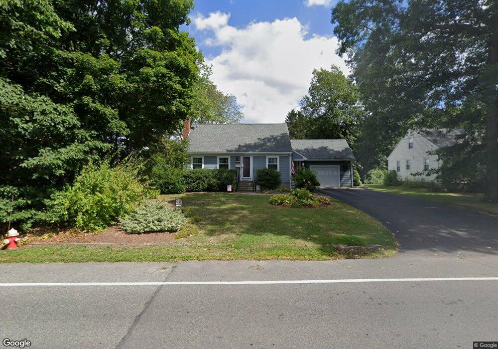
317 Raynor Ave Whitman, MA 02382
Estimated Value: $550,000 - $585,000
3
Beds
2
Baths
1,667
Sq Ft
$340/Sq Ft
Est. Value
About This Home
This home is located at 317 Raynor Ave, Whitman, MA 02382 and is currently estimated at $566,027, approximately $339 per square foot. 317 Raynor Ave is a home located in Plymouth County with nearby schools including St Bridget School.
Ownership History
Date
Name
Owned For
Owner Type
Purchase Details
Closed on
Sep 9, 1988
Sold by
Pratt John I
Bought by
Anderson William S
Current Estimated Value
Home Financials for this Owner
Home Financials are based on the most recent Mortgage that was taken out on this home.
Original Mortgage
$50,000
Interest Rate
10.43%
Mortgage Type
Purchase Money Mortgage
Purchase Details
Closed on
Feb 21, 1987
Sold by
Pratt Mary E
Bought by
Pratt John I
Home Financials for this Owner
Home Financials are based on the most recent Mortgage that was taken out on this home.
Original Mortgage
$65,500
Interest Rate
9.24%
Mortgage Type
Purchase Money Mortgage
Create a Home Valuation Report for This Property
The Home Valuation Report is an in-depth analysis detailing your home's value as well as a comparison with similar homes in the area
Home Values in the Area
Average Home Value in this Area
Purchase History
| Date | Buyer | Sale Price | Title Company |
|---|---|---|---|
| Anderson William S | $142,000 | -- | |
| Pratt John I | $62,500 | -- |
Source: Public Records
Mortgage History
| Date | Status | Borrower | Loan Amount |
|---|---|---|---|
| Open | Pratt John I | $200,000 | |
| Closed | Pratt John I | $40,000 | |
| Closed | Pratt John I | $50,000 | |
| Previous Owner | Pratt John I | $65,500 |
Source: Public Records
Tax History Compared to Growth
Tax History
| Year | Tax Paid | Tax Assessment Tax Assessment Total Assessment is a certain percentage of the fair market value that is determined by local assessors to be the total taxable value of land and additions on the property. | Land | Improvement |
|---|---|---|---|---|
| 2025 | $6,189 | $471,700 | $206,300 | $265,400 |
| 2024 | $5,725 | $449,400 | $202,300 | $247,100 |
| 2023 | $5,428 | $400,000 | $175,400 | $224,600 |
| 2022 | $5,368 | $368,700 | $159,500 | $209,200 |
| 2021 | $5,183 | $334,400 | $146,500 | $187,900 |
| 2020 | $5,093 | $321,300 | $139,500 | $181,800 |
| 2019 | $4,754 | $309,100 | $139,500 | $169,600 |
| 2018 | $4,601 | $287,400 | $131,600 | $155,800 |
| 2017 | $4,317 | $286,300 | $131,600 | $154,700 |
| 2016 | $4,105 | $263,300 | $124,600 | $138,700 |
| 2015 | $3,804 | $243,700 | $109,600 | $134,100 |
Source: Public Records
Map
Nearby Homes
- 608 Plymouth St
- 679 Plymouth St
- 170 Pleasant St
- 40 Lazel St
- 23 Reed Place
- 684 South Ave
- 63 Dewey Ave
- 137 Peregrine Rd
- 110 South Ave Unit 14
- 110 South Ave
- 54-56 Stetson St
- 48 Day St
- 20 Elm Place
- 35 Dana St
- 214 Winter St
- 53 Temple St
- 532 Washington St
- 55 Plymouth St Unit A5
- 131 Holly Ridge Dr
- 135-137 Temple St
- 311 Raynor Ave
- 324 Raynor Ave
- 308 Raynor Ave
- 303 Raynor Ave
- 318 Raynor Ave Unit 2
- 318 Raynor Ave Unit 318
- 316 Raynor Ave Unit 316
- 586 Plymouth St
- 332 Raynor Ave
- 296 Raynor Ave
- 291 Raynor Ave
- 590 Plymouth St
- 40 Holmes Terrace
- 600 Plymouth St
- 290 Raynor Ave
- 36 Holmes Terrace
- 564 Plymouth St
- 300 Raynor Ave
- 285 Raynor Ave
- 375 Essex St