317 S 190 W Unit 3B American Fork, UT 84003
Estimated Value: $583,000 - $635,492
4
Beds
3
Baths
3,634
Sq Ft
$168/Sq Ft
Est. Value
About This Home
This home is located at 317 S 190 W Unit 3B, American Fork, UT 84003 and is currently estimated at $612,123, approximately $168 per square foot. 317 S 190 W Unit 3B is a home located in Utah County with nearby schools including Greenwood Elementary School, American Fork Junior High School, and American Fork High School.
Ownership History
Date
Name
Owned For
Owner Type
Purchase Details
Closed on
Aug 12, 2019
Sold by
Af 12 Roost Llc
Bought by
Af 12 Roost Llc
Current Estimated Value
Purchase Details
Closed on
Aug 2, 2019
Sold by
Af 12 Roost Llc
Bought by
Af 12 Roost Llc
Purchase Details
Closed on
Jul 25, 2018
Sold by
Roberts Mfg Inc
Bought by
Af 12 Roost Llc
Create a Home Valuation Report for This Property
The Home Valuation Report is an in-depth analysis detailing your home's value as well as a comparison with similar homes in the area
Home Values in the Area
Average Home Value in this Area
Purchase History
| Date | Buyer | Sale Price | Title Company |
|---|---|---|---|
| Af 12 Roost Llc | -- | Accommodation | |
| Af 12 Roost Llc | -- | Accommodation | |
| Af 12 Roost Llc | -- | Backman Title Services Ltd |
Source: Public Records
Tax History Compared to Growth
Tax History
| Year | Tax Paid | Tax Assessment Tax Assessment Total Assessment is a certain percentage of the fair market value that is determined by local assessors to be the total taxable value of land and additions on the property. | Land | Improvement |
|---|---|---|---|---|
| 2025 | $2,341 | $300,740 | $192,500 | $354,300 |
| 2024 | $2,341 | $260,095 | $0 | $0 |
| 2023 | $2,246 | $264,550 | $0 | $0 |
| 2022 | $2,292 | $266,475 | $0 | $0 |
| 2021 | $1,972 | $358,100 | $128,900 | $229,200 |
| 2020 | $1,914 | $337,000 | $115,100 | $221,900 |
| 2019 | $1,053 | $105,500 | $105,500 | $0 |
| 2018 | $1,001 | $95,900 | $95,900 | $0 |
| 2017 | $816 | $76,700 | $0 | $0 |
Source: Public Records
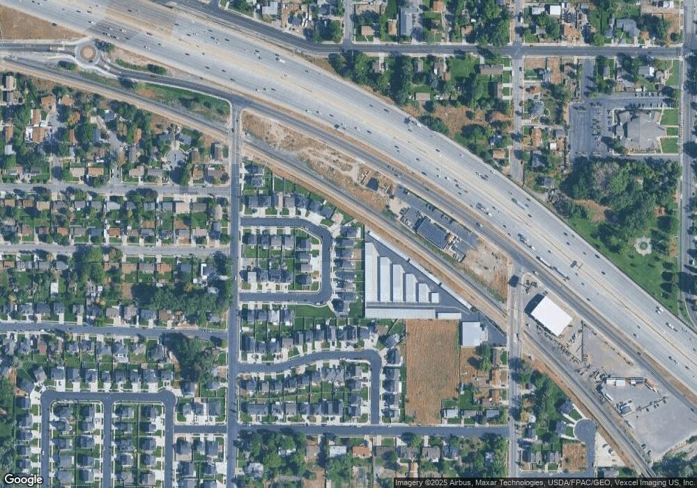
Map
Nearby Homes
- 368 S Storrs Ct Unit 107
- 429 S Storrs Ave
- 316 W 390 S
- 271 S Barratt Cir
- 365 W 370 S
- 424 S 340 W
- 382 W 330 S
- 391 W 370 S
- 412 S 390 W
- 195 S Center St
- 65 E 400 S Unit 8
- 351 Washington Ave
- 82 S Lincoln Ave
- 55 Roosevelt Ave
- 217 W Main St
- 326 S 650 W
- 528 S 260 E
- 415 S 680 W Unit 45
- 129 W Pacific Dr
- 336 S 300 E
- 317 S 190 W
- 321 S 190 W Unit 4A
- 321 S 190 W
- 311 S 190 W Unit 3A
- 311 S 190 W
- 327 S 190 W Unit 4B
- 327 S 190 W
- 192 W 310 S Unit 2B
- 192 W 310 S
- 335 S 190 W Unit Basement
- 335 S 190 W
- 335 S 190 W Unit 5A
- 335 S 190 W
- 188 W 310 S Unit 2A
- 188 W 310 S Unit 5A
- 341 S 190 W Unit 5B
- 341 S 190 W
- 318 S 190 W Unit 8B
- 324 S 190 W Unit 8A
- 324 S 190 W