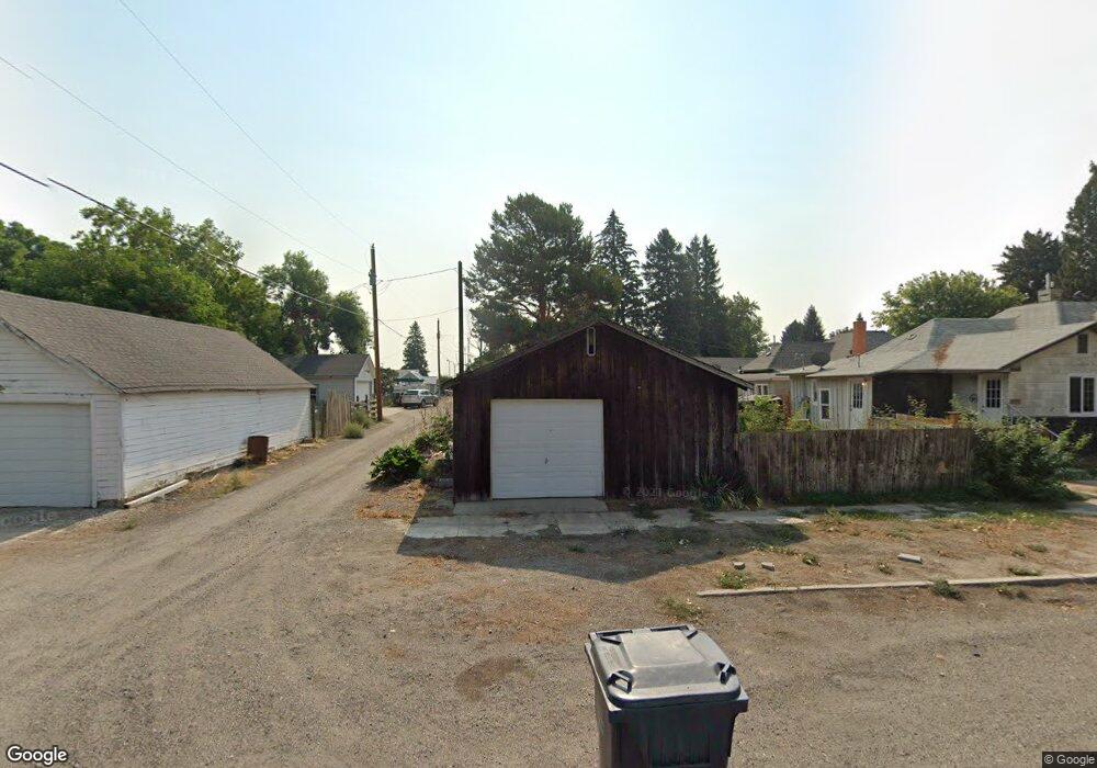
317 S Alta St Shoshone, ID 83352
Estimated Value: $227,000 - $274,000
3
Beds
2
Baths
1,445
Sq Ft
$178/Sq Ft
Est. Value
About This Home
This home is located at 317 S Alta St, Shoshone, ID 83352 and is currently estimated at $257,798, approximately $178 per square foot. 317 S Alta St is a home located in Lincoln County with nearby schools including Shoshone Elementary School and Shoshone High School.
Ownership History
Date
Name
Owned For
Owner Type
Purchase Details
Closed on
Dec 12, 2023
Sold by
Flying S Title & Escrow/Id Inc
Bought by
Garrett Alvin Charles and Garrett Laura Mae
Current Estimated Value
Purchase Details
Closed on
Jun 18, 2021
Sold by
Garrett Alvin Charles and Adams Garrett Laura
Bought by
Welborn Dawn A
Home Financials for this Owner
Home Financials are based on the most recent Mortgage that was taken out on this home.
Original Mortgage
$128,000
Interest Rate
2.9%
Mortgage Type
Seller Take Back
Purchase Details
Closed on
Jan 22, 2021
Sold by
Price Randy Wayne and Price Debra Lynn
Bought by
Garrett Alvin Charles and Adams-Garrett Laura Mae
Purchase Details
Closed on
Apr 10, 2019
Sold by
Price Randy W and Price Margaret F
Bought by
Price Randy W
Create a Home Valuation Report for This Property
The Home Valuation Report is an in-depth analysis detailing your home's value as well as a comparison with similar homes in the area
Home Values in the Area
Average Home Value in this Area
Purchase History
| Date | Buyer | Sale Price | Title Company |
|---|---|---|---|
| Garrett Alvin Charles | $133,222 | Title Financial Specialty Serv | |
| Welborn Dawn A | -- | First American Title Jerome | |
| Garrett Alvin Charles | -- | First American Title | |
| Price Randy W | -- | None Available |
Source: Public Records
Mortgage History
| Date | Status | Borrower | Loan Amount |
|---|---|---|---|
| Previous Owner | Welborn Dawn A | $128,000 |
Source: Public Records
Tax History Compared to Growth
Tax History
| Year | Tax Paid | Tax Assessment Tax Assessment Total Assessment is a certain percentage of the fair market value that is determined by local assessors to be the total taxable value of land and additions on the property. | Land | Improvement |
|---|---|---|---|---|
| 2025 | $2,311 | $190,460 | $21,590 | $168,870 |
| 2024 | $2,311 | $192,080 | $21,590 | $170,490 |
| 2023 | $2,183 | $192,080 | $21,590 | $170,490 |
| 2022 | $2,119 | $144,080 | $19,250 | $124,830 |
| 2021 | $1,904 | $118,480 | $17,490 | $100,990 |
| 2020 | $917 | $99,580 | $13,970 | $85,610 |
| 2019 | $818 | $76,160 | $13,970 | $62,190 |
| 2015 | $638 | $0 | $0 | $0 |
| 2014 | $659 | $0 | $0 | $0 |
| 2013 | $647 | $0 | $0 | $0 |
| 2011 | $697 | $0 | $0 | $0 |
Source: Public Records
Map
Nearby Homes
- 104 E B St
- 205 E C St
- 206 E C St
- 204 E A St
- 512 S Beverly St
- TBD S Beverly St
- 218 E D Street - Lots 1-3
- 309 E C St
- n/a U S Highway 26
- 501 S Edith St
- 202 E 2nd St
- 403 N Cherry St
- 414 N Birch St
- 415 N Birch St
- 420 E 3rd St
- 522 N Apple St
- 101 Quail Ridge Dr
- 166 Eric Rd
- 187 Syringa Loop
- 140 Syringa Loop