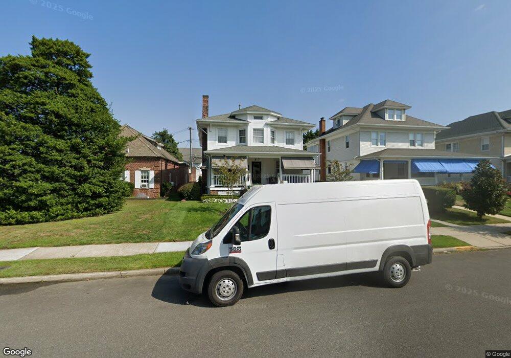
317 Spier Ave Unit 3 Allenhurst, NJ 07711
Estimated Value: $1,780,000 - $2,894,000
4
Beds
2
Baths
1,942
Sq Ft
$1,282/Sq Ft
Est. Value
About This Home
This home is located at 317 Spier Ave Unit 3, Allenhurst, NJ 07711 and is currently estimated at $2,488,912, approximately $1,281 per square foot. 317 Spier Ave Unit 3 is a home located in Monmouth County.
Ownership History
Date
Name
Owned For
Owner Type
Purchase Details
Closed on
May 9, 2025
Sold by
Franco Daniel and Franco Sarina
Bought by
Daniel And Sarina Franco Joint Revocable Trus and Franco
Current Estimated Value
Purchase Details
Closed on
Feb 17, 2016
Sold by
Franco Sarina
Bought by
Franco Daniel and Franco Sarina
Purchase Details
Closed on
Oct 4, 2010
Sold by
Franco Daniel and Franco Sarina
Bought by
Franco Sarina
Purchase Details
Closed on
Sep 10, 2004
Sold by
Mango Ralph
Bought by
Franco Daniel and Franco Sarina
Purchase Details
Closed on
Aug 21, 2000
Sold by
Vannote Peter
Bought by
Mango Ralph and Mango Mary
Home Financials for this Owner
Home Financials are based on the most recent Mortgage that was taken out on this home.
Original Mortgage
$142,500
Interest Rate
8.06%
Create a Home Valuation Report for This Property
The Home Valuation Report is an in-depth analysis detailing your home's value as well as a comparison with similar homes in the area
Home Values in the Area
Average Home Value in this Area
Purchase History
| Date | Buyer | Sale Price | Title Company |
|---|---|---|---|
| Daniel And Sarina Franco Joint Revocable Trus | -- | None Listed On Document | |
| Daniel And Sarina Franco Joint Revocable Trus | -- | None Listed On Document | |
| Franco Daniel | -- | None Available | |
| Franco Sarina | -- | None Available | |
| Franco Daniel | $854,000 | -- | |
| Mango Ralph | $242,500 | -- |
Source: Public Records
Mortgage History
| Date | Status | Borrower | Loan Amount |
|---|---|---|---|
| Previous Owner | Mango Ralph | $142,500 |
Source: Public Records
Tax History Compared to Growth
Tax History
| Year | Tax Paid | Tax Assessment Tax Assessment Total Assessment is a certain percentage of the fair market value that is determined by local assessors to be the total taxable value of land and additions on the property. | Land | Improvement |
|---|---|---|---|---|
| 2025 | $14,961 | $2,794,700 | $2,292,700 | $502,000 |
| 2024 | $11,248 | $2,540,100 | $2,040,200 | $499,900 |
| 2023 | $11,248 | $1,802,500 | $1,332,200 | $470,300 |
| 2022 | $8,279 | $1,267,100 | $951,600 | $315,500 |
| 2021 | $6,969 | $1,093,600 | $813,000 | $280,600 |
| 2020 | $7,520 | $950,700 | $676,400 | $274,300 |
| 2019 | $6,969 | $876,600 | $603,900 | $272,700 |
| 2018 | $6,877 | $863,900 | $603,900 | $260,000 |
| 2017 | $6,611 | $849,700 | $603,900 | $245,800 |
| 2016 | $6,856 | $824,000 | $554,400 | $269,600 |
| 2015 | $6,685 | $725,100 | $495,000 | $230,100 |
| 2014 | $5,896 | $693,700 | $417,600 | $276,100 |
Source: Public Records
Map
Nearby Homes
- 309 Spier Ave
- 104 Lake Dr
- 222 Cedar Ave
- 127 Cedar Ave
- 18 Lady Bess Dr
- 309 Hume St
- 519 Laurel Ave
- 312 Hume St
- 510 Blanchard Pkwy
- 48 Neptune Ave
- 608 Wildwood Rd
- 405 Buttermere Ave
- 205 Edgemont Dr Unit 3
- 205 Edgemont Dr Unit 1
- 500 Deal Lake Dr Unit 1E
- 500 Deal Lake Dr Unit 3B
- 400 Deal Lake Dr Unit 3J
- 400 Deal Lake Dr Unit 8F
- 400 Deal Lake Dr Unit 4G
- 400 Deal Lake Dr Unit 5F
- 317 Spier Ave
- 108 Main St
- 112 Main St
- 313 Spier Ave
- 316 Cedar Ave
- 311 Spier Ave
- 312 Cedar Ave
- 312 Cedar Ave Unit s
- 312 Cedar Ave Unit w
- 310 Cedar Ave
- 316 Spier Ave Unit 2
- 316 Spier Ave Unit 1
- 316 Spier Ave Unit 3
- 316 Spier Ave
- 312 Spier Ave
- 100 Main St Unit 2C
- 100 Main St Unit 2B
- 100 Main St Unit 2A
- 100 Main St Unit 2N
- 308 Cedar Ave