317 Sunset Pointe Dr Salisbury, NC 28146
Estimated Value: $192,000 - $500,284
Studio
--
Bath
--
Sq Ft
53,579
Sq Ft Lot
About This Home
This home is located at 317 Sunset Pointe Dr, Salisbury, NC 28146 and is currently estimated at $328,571. 317 Sunset Pointe Dr is a home located in Rowan County with nearby schools including E Hanford Dole Elementary School, North Rowan Middle School, and North Rowan High School.
Ownership History
Date
Name
Owned For
Owner Type
Purchase Details
Closed on
Nov 6, 2006
Sold by
High Rock Development Co Llc
Bought by
Clark Peter D and Clark Kim E
Current Estimated Value
Home Financials for this Owner
Home Financials are based on the most recent Mortgage that was taken out on this home.
Original Mortgage
$194,500
Outstanding Balance
$116,016
Interest Rate
6.36%
Mortgage Type
Unknown
Estimated Equity
$212,555
Create a Home Valuation Report for This Property
The Home Valuation Report is an in-depth analysis detailing your home's value as well as a comparison with similar homes in the area
Purchase History
| Date | Buyer | Sale Price | Title Company |
|---|---|---|---|
| Clark Peter D | $200,000 | None Available |
Source: Public Records
Mortgage History
| Date | Status | Borrower | Loan Amount |
|---|---|---|---|
| Open | Clark Peter D | $194,500 |
Source: Public Records
Tax History
| Year | Tax Paid | Tax Assessment Tax Assessment Total Assessment is a certain percentage of the fair market value that is determined by local assessors to be the total taxable value of land and additions on the property. | Land | Improvement |
|---|---|---|---|---|
| 2025 | $1,109 | $166,175 | $166,175 | $0 |
| 2024 | $1,109 | $166,175 | $166,175 | $0 |
| 2023 | $1,109 | $166,175 | $166,175 | $0 |
| 2022 | $1,238 | $166,175 | $166,175 | $0 |
| 2021 | $1,226 | $166,175 | $166,175 | $0 |
| 2020 | $1,226 | $166,175 | $166,175 | $0 |
| 2019 | $1,226 | $166,175 | $166,175 | $0 |
| 2018 | $1,337 | $182,750 | $182,750 | $0 |
| 2017 | $1,337 | $182,750 | $182,750 | $0 |
| 2016 | $1,337 | $182,750 | $182,750 | $0 |
| 2015 | $1,357 | $182,750 | $182,750 | $0 |
| 2014 | $1,316 | $182,750 | $182,750 | $0 |
Source: Public Records
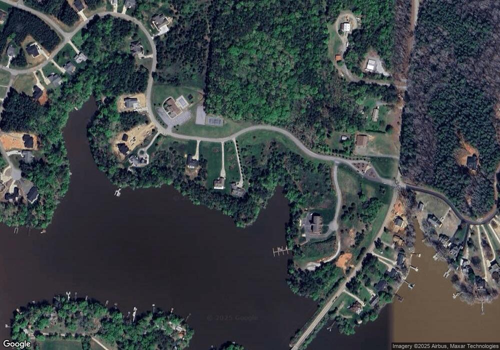
Map
Nearby Homes
- 1925 Marina Pointe Rd
- 1995 Marina Pointe Rd
- 2005 Marina Pointe Rd
- 1975 Marina Pointe Rd
- 589 Sunset Pointe Dr
- 453 Sunset Pointe Dr
- 1020 Tidewater Rd
- 1053 Inlet Point Rd
- 215 Village Ln
- 1105 Rudder Cir
- 1020 Pebble Point
- 1261 Sunset Pointe Dr Unit 60
- 1283 Sunset Pointe Dr
- 465 White Crane Rd
- 215 Meadow Lake Dr
- 1433 Kern Carlton Rd
- 1175 McCoy Farm Rd
- 3420 Long Ferry Rd
- 0 Ned Marsh Rd
- 238 Bluff Ln
- 333 Sunset Pointe Dr
- 351 Sunset Pointe Dr
- Lot #7 Sunset Pointe Dr Unit 7
- 365 Sunset Pointe Dr
- 0 Marina Point Rd Unit 2136372
- 0 Marina Point Rd Unit 2137408
- 0 Marina Point Rd Unit 3077099
- 379 Sunset Pointe Dr
- 2050 Marina Pointe Rd
- 2050 Marina Pointe Rd
- 2050 Marina Pointe Rd Unit 2050
- 2040 Marina Pointe Rd
- 2040 Marina Pointe Rd Unit 2040
- 2030 Marina Pointe Rd
- 2020 Marina Pointe Rd
- 2020 Marina Pointe Rd Unit 2020
- 2010 Marina Pointe Rd Unit 2010
- 2010 Marina Pointe Rd
- 2000 Marina Pointe Rd
- 2000 Marina Pointe Rd Unit 2000
Your Personal Tour Guide
Ask me questions while you tour the home.