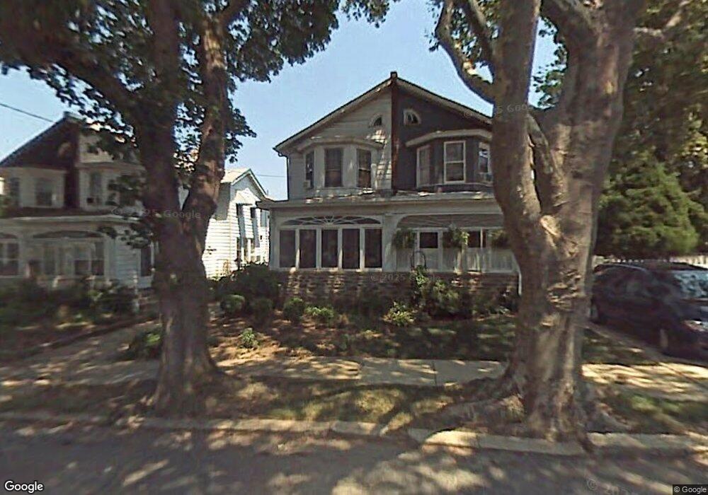
317 Unruh Ave Philadelphia, PA 19111
Lawncrest NeighborhoodEstimated Value: $274,000 - $305,000
4
Beds
1
Bath
1,440
Sq Ft
$200/Sq Ft
Est. Value
About This Home
This home is located at 317 Unruh Ave, Philadelphia, PA 19111 and is currently estimated at $288,076, approximately $200 per square foot. 317 Unruh Ave is a home located in Philadelphia County with nearby schools including J. Hampton Moore School, Castor Gardens Middle School, and Northeast High School.
Ownership History
Date
Name
Owned For
Owner Type
Purchase Details
Closed on
Jul 27, 2001
Sold by
Korhan Marie A
Bought by
Reily Stephanie
Current Estimated Value
Home Financials for this Owner
Home Financials are based on the most recent Mortgage that was taken out on this home.
Original Mortgage
$73,384
Outstanding Balance
$28,522
Interest Rate
7.1%
Mortgage Type
FHA
Estimated Equity
$259,554
Purchase Details
Closed on
Jul 1, 1999
Sold by
Kappenberger Marie A
Bought by
Kappenberger Marie A and Korhan Marie A
Create a Home Valuation Report for This Property
The Home Valuation Report is an in-depth analysis detailing your home's value as well as a comparison with similar homes in the area
Home Values in the Area
Average Home Value in this Area
Purchase History
| Date | Buyer | Sale Price | Title Company |
|---|---|---|---|
| Reily Stephanie | $74,000 | -- | |
| Kappenberger Marie A | -- | -- |
Source: Public Records
Mortgage History
| Date | Status | Borrower | Loan Amount |
|---|---|---|---|
| Open | Reily Stephanie | $73,384 |
Source: Public Records
Tax History Compared to Growth
Tax History
| Year | Tax Paid | Tax Assessment Tax Assessment Total Assessment is a certain percentage of the fair market value that is determined by local assessors to be the total taxable value of land and additions on the property. | Land | Improvement |
|---|---|---|---|---|
| 2025 | $3,001 | $255,900 | $51,180 | $204,720 |
| 2024 | $3,001 | $255,900 | $51,180 | $204,720 |
| 2023 | $3,001 | $214,400 | $42,880 | $171,520 |
| 2022 | $1,540 | $169,400 | $42,880 | $126,520 |
| 2021 | $2,170 | $0 | $0 | $0 |
| 2020 | $2,170 | $0 | $0 | $0 |
| 2019 | $2,082 | $0 | $0 | $0 |
| 2018 | $2,042 | $0 | $0 | $0 |
| 2017 | $2,042 | $0 | $0 | $0 |
| 2016 | $2,042 | $0 | $0 | $0 |
| 2015 | $1,955 | $0 | $0 | $0 |
| 2014 | -- | $145,900 | $38,250 | $107,650 |
| 2012 | -- | $17,216 | $3,814 | $13,402 |
Source: Public Records
Map
Nearby Homes
- 6704-6708 Martins Rd
- 325 Magee Ave
- 6835 Martins Mill Rd
- 330 Magee Ave
- 6839 Oakley St
- 122 Old Soldiers Rd
- 528 Magee Ave
- 524 Longshore Ave
- 6941 Shelbourne St
- 335 Passmore St
- 129 Old Soldiers Rd
- 542-48 Magee Ave
- 412 Tyson Ave
- 6422 Argyle St
- 629 Fanshawe St
- 627 Knorr St
- 223 Levick St
- 515 Ryers Ave
- 6424 Bingham St
- 6324 Shelbourne St