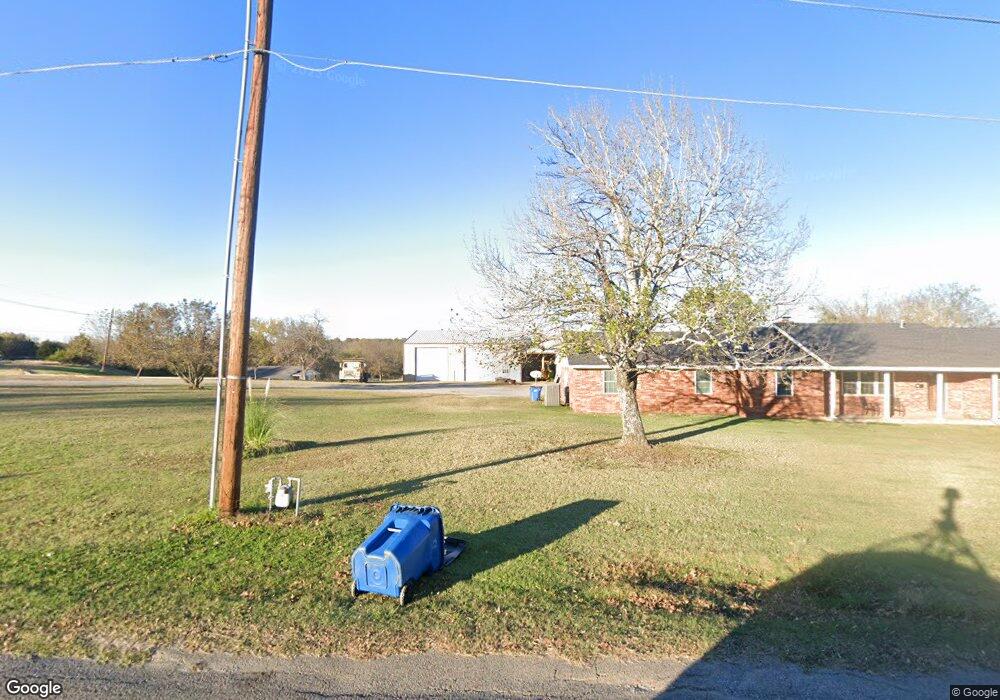
317 W Shawnee Ave Eufaula, OK 74432
Estimated Value: $88,000 - $199,000
2
Beds
1
Bath
1,170
Sq Ft
$114/Sq Ft
Est. Value
About This Home
This home is located at 317 W Shawnee Ave, Eufaula, OK 74432 and is currently estimated at $133,667, approximately $114 per square foot. 317 W Shawnee Ave is a home with nearby schools including Eufaula Elementary School, Eufaula Middle School, and Eufaula High School.
Ownership History
Date
Name
Owned For
Owner Type
Purchase Details
Closed on
Oct 19, 2022
Sold by
Johnny And Barbara Ball Revocable Trust
Bought by
Corner Cottage Llc
Current Estimated Value
Home Financials for this Owner
Home Financials are based on the most recent Mortgage that was taken out on this home.
Original Mortgage
$70,976
Outstanding Balance
$68,619
Interest Rate
6.92%
Mortgage Type
New Conventional
Estimated Equity
$65,048
Purchase Details
Closed on
Jun 24, 2021
Sold by
Ball Johnny M and Ball Barbara J
Bought by
Ball Johnny M and Ball Barbara J
Purchase Details
Closed on
Apr 26, 1994
Create a Home Valuation Report for This Property
The Home Valuation Report is an in-depth analysis detailing your home's value as well as a comparison with similar homes in the area
Purchase History
| Date | Buyer | Sale Price | Title Company |
|---|---|---|---|
| Corner Cottage Llc | $85,000 | Fidelity National Title | |
| Ball Johnny M | -- | None Available | |
| -- | $26,000 | -- |
Source: Public Records
Mortgage History
| Date | Status | Borrower | Loan Amount |
|---|---|---|---|
| Open | Corner Cottage Llc | $70,976 |
Source: Public Records
Tax History
| Year | Tax Paid | Tax Assessment Tax Assessment Total Assessment is a certain percentage of the fair market value that is determined by local assessors to be the total taxable value of land and additions on the property. | Land | Improvement |
|---|---|---|---|---|
| 2025 | $1,085 | $12,404 | $5,207 | $7,197 |
| 2024 | $1,032 | $12,404 | $5,489 | $6,915 |
| 2023 | $1,032 | $11,251 | $4,455 | $6,796 |
| 2022 | $395 | $4,757 | $2,194 | $2,563 |
| 2021 | $380 | $4,757 | $2,167 | $2,590 |
| 2020 | $362 | $4,530 | $2,063 | $2,467 |
| 2019 | $348 | $4,314 | $1,965 | $2,349 |
| 2018 | $326 | $4,109 | $1,872 | $2,237 |
| 2017 | $310 | $3,727 | $1,641 | $2,086 |
| 2016 | $297 | $3,550 | $1,464 | $2,086 |
| 2015 | $279 | $3,381 | $1,495 | $1,886 |
| 2014 | $264 | $3,220 | $1,424 | $1,796 |
Source: Public Records
Map
Nearby Homes
- 117672 S 4202 Rd
- 117525 S 4209 Rd
- 119402 S 4214 Loop
- Lot 258 Patriot Pointe
- 420707 E 1166 Rd
- 123 S 4214 Loop
- 247 Patriot Pointe
- 248 Patriot Pointe
- 116965 S 4164
- 1 E 1167 Rd
- 6 Patriot Pointe
- 218 Patriot Pointe Ave
- 245 Patriot Pointe Ave
- 219 Patriot Pointe Ave
- 80 Patriot Pointe
- 244 Patriot Pointe St
- 214 Patriot Pointe Ave
- 238 Patriot Pointe
- 182 Patriot Point
- 182 Patriot Pointe
- 4192 Rr 4
- 420313 E 1176 Rd
- 117578 S 4203 Rd
- 799 Rr 4
- 4165 Rr 4
- 420383 E 1175 Rd
- 117524 S 4203 Rd
- 117504 S 4204 Rd
- 329900 E Highway 66
- 821 E 1175 Radial
- 420317 E 1175 Rd
- 20 Red Bud Ln Unit D
- 22 Red Bud Ln Unit D
- 47 Red Bud Ln
- 20 Red Bud Ln Unit C
- 420337 E 1175 Rd
- 117502 S 4204 Rd Unit 5
- 911 Arbor Dr
- 4095 Rr 4
- 34206 Belcher Rd
Your Personal Tour Guide
Ask me questions while you tour the home.