317 Whitetail Dr Unit 38 McCall, ID 83638
Estimated Value: $3,285,043 - $3,563,000
4
Beds
1
Bath
3,536
Sq Ft
$982/Sq Ft
Est. Value
About This Home
This home is located at 317 Whitetail Dr Unit 38, McCall, ID 83638 and is currently estimated at $3,471,761, approximately $981 per square foot. 317 Whitetail Dr Unit 38 is a home located in Valley County with nearby schools including McCall-Donnelly High School, McCall Adventist Christian School, and The North Fork School.
Ownership History
Date
Name
Owned For
Owner Type
Purchase Details
Closed on
Jul 8, 2015
Sold by
Wali Dave S and Wali Kathy K
Bought by
Mcreynolds Michael and Mcreynolds Jamie Kim
Current Estimated Value
Purchase Details
Closed on
Oct 7, 2011
Sold by
Wali David and Wali Kathy
Bought by
Mcreynolds Michael and Mcreynolds Kimberly
Purchase Details
Closed on
Sep 27, 2011
Sold by
Mahin Pat
Bought by
Wali David and Wali Kathy
Purchase Details
Closed on
Sep 12, 2005
Sold by
Whitetail A Club For All Seasons Llc
Bought by
Mahin Pat
Home Financials for this Owner
Home Financials are based on the most recent Mortgage that was taken out on this home.
Original Mortgage
$323,000
Interest Rate
5.67%
Mortgage Type
Future Advance Clause Open End Mortgage
Create a Home Valuation Report for This Property
The Home Valuation Report is an in-depth analysis detailing your home's value as well as a comparison with similar homes in the area
Home Values in the Area
Average Home Value in this Area
Purchase History
| Date | Buyer | Sale Price | Title Company |
|---|---|---|---|
| Mcreynolds Michael | -- | None Available | |
| Mcreynolds Michael | -- | -- | |
| Wali David | -- | -- | |
| Mahin Pat | -- | -- |
Source: Public Records
Mortgage History
| Date | Status | Borrower | Loan Amount |
|---|---|---|---|
| Previous Owner | Mahin Pat | $323,000 |
Source: Public Records
Tax History Compared to Growth
Tax History
| Year | Tax Paid | Tax Assessment Tax Assessment Total Assessment is a certain percentage of the fair market value that is determined by local assessors to be the total taxable value of land and additions on the property. | Land | Improvement |
|---|---|---|---|---|
| 2025 | $15,656 | $3,503,125 | $498,943 | $3,004,182 |
| 2023 | $15,656 | $3,276,977 | $399,155 | $2,877,822 |
| 2022 | $15,126 | $3,005,016 | $504,275 | $2,500,741 |
| 2021 | $15,200 | $2,026,108 | $377,714 | $1,648,394 |
| 2020 | $14,451 | $1,686,267 | $293,777 | $1,392,490 |
| 2019 | $14,018 | $1,499,576 | $279,788 | $1,219,788 |
| 2018 | $11,507 | $1,126,289 | $274,349 | $851,940 |
| 2017 | $11,777 | $1,058,951 | $247,789 | $811,162 |
| 2016 | $11,060 | $967,961 | $161,500 | $806,461 |
| 2015 | $12,031 | $1,004,949 | $0 | $0 |
| 2013 | -- | $695,635 | $0 | $0 |
Source: Public Records
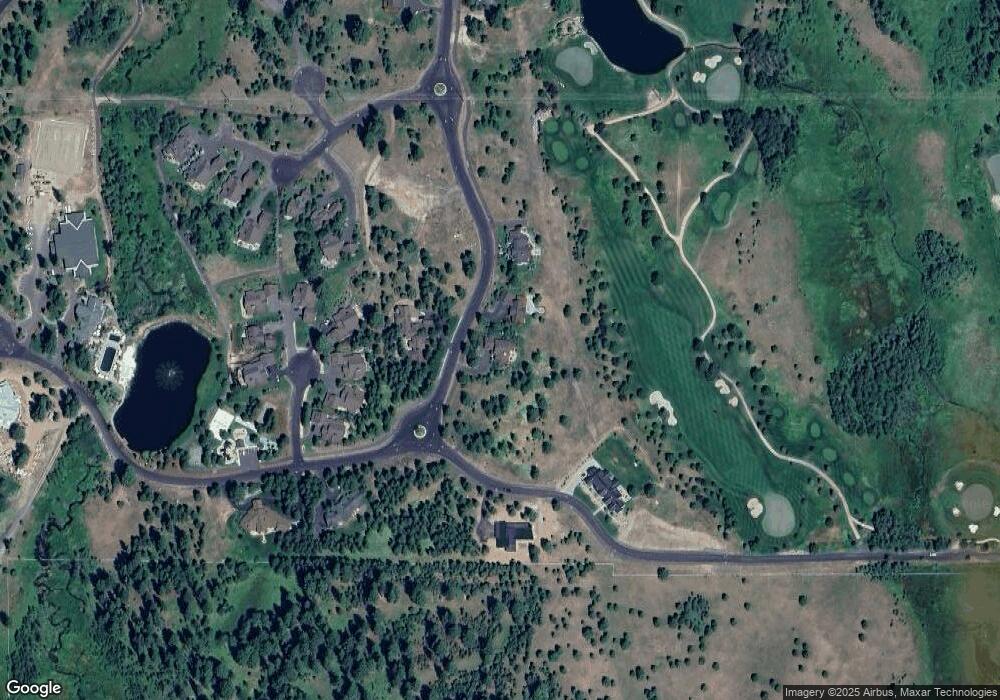
Map
Nearby Homes
- 325 Whitetail Dr
- 544 Osprey View Dr Unit 43
- 3658 Annie Pond Ct Unit 50 & 51
- 4305 Song Sparrow Ct
- 532 Osprey View Dr Unit 48
- 459 Osprey View Dr Unit 90
- 354 Whitetail Dr
- 3654 & 3658 Annie Pond Ct
- 4605 Williams Creek Loop
- Lots 4&5 Whitetail Dr Unit 4 and 5
- Lots 4 & 5 Whitetail Dr
- 663 Lichen Ln Unit 68
- 4625 Williams Creek Loop Unit 96
- 669 Migratory Ridge Way Unit 70
- 609 Migratory Ridge Way Unit 46
- 1413 Stone Ln
- 667 Aster Ct Unit 63
- 656 Aster Ct Unit 67
- 605 Migratory Ridge Way Unit 45
- 671 Aster Ct Unit 64
- 317 Whitetail Dr
- 318 Whitetail Dr
- 309 Whitetail Dr
- 309 Whitetail Dr Unit 36
- 325 Whitetail Dr Unit 40
- 322 Whitetail Dr Unit 73
- 322 Whitetail Dr
- 4055 Smokey Morel Ct Unit 76
- 4053 Smokey Morel Ct
- 4057 Smokey Morel Ct
- 305 Whitetail Dr Unit 35
- 4058 Smokey Morel Ct Unit 77
- 4058 Smokey Morel Ct
- 3304 Shaggy Mane Ct
- 329 Whitetail Dr Unit 41
- 329 Whitetail Dr
- 405 Smokey Morel Ct Unit 75
- 404 Osprey View Dr
- 3306 Shaggy Mane Ct
- TBD Smokey Morel Ct