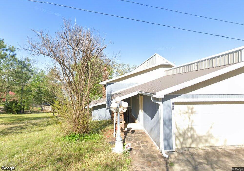
31705 S 530 Rd Cookson, OK 74427
Estimated Value: $261,000 - $486,000
2
Beds
2
Baths
1,360
Sq Ft
$276/Sq Ft
Est. Value
About This Home
This home is located at 31705 S 530 Rd, Cookson, OK 74427 and is currently estimated at $375,229, approximately $275 per square foot. 31705 S 530 Rd is a home located in Cherokee County.
Ownership History
Date
Name
Owned For
Owner Type
Purchase Details
Closed on
Jan 21, 2025
Sold by
Lemler Mark O and Lemler Michelle
Bought by
Toby G Brantley Trust
Current Estimated Value
Purchase Details
Closed on
Apr 30, 2010
Sold by
Federal National Mortgage Association
Bought by
Lemler Mark and Lemler Michelle
Purchase Details
Closed on
Apr 5, 2002
Sold by
Grant L Bell
Bought by
Bell G and Clinton Osborn
Purchase Details
Closed on
Feb 25, 1999
Sold by
Joyce Moore
Bought by
Grant L Bell
Purchase Details
Closed on
Sep 29, 1993
Sold by
George E Phillips
Bought by
Joyce Moore
Create a Home Valuation Report for This Property
The Home Valuation Report is an in-depth analysis detailing your home's value as well as a comparison with similar homes in the area
Home Values in the Area
Average Home Value in this Area
Purchase History
| Date | Buyer | Sale Price | Title Company |
|---|---|---|---|
| Toby G Brantley Trust | $375,000 | Fidelity National Title | |
| Toby G Brantley Trust | $375,000 | Fidelity National Title | |
| Lemler Mark | -- | None Available | |
| Bell G | -- | -- | |
| Grant L Bell | $72,000 | -- | |
| Joyce Moore | $59,000 | -- |
Source: Public Records
Tax History Compared to Growth
Tax History
| Year | Tax Paid | Tax Assessment Tax Assessment Total Assessment is a certain percentage of the fair market value that is determined by local assessors to be the total taxable value of land and additions on the property. | Land | Improvement |
|---|---|---|---|---|
| 2024 | $994 | $13,667 | $5,198 | $8,469 |
| 2023 | $962 | $13,269 | $4,898 | $8,371 |
| 2022 | $940 | $12,883 | $4,676 | $8,207 |
| 2021 | $724 | $10,094 | $3,067 | $7,027 |
| 2020 | $715 | $9,800 | $2,978 | $6,822 |
| 2019 | $762 | $9,515 | $2,837 | $6,678 |
| 2018 | $723 | $9,061 | $2,701 | $6,360 |
| 2017 | $690 | $8,631 | $2,573 | $6,058 |
| 2016 | $656 | $8,220 | $2,730 | $5,490 |
| 2015 | $615 | $7,828 | $2,664 | $5,164 |
| 2014 | $584 | $7,455 | $2,537 | $4,918 |
Source: Public Records
Map
Nearby Homes
- 31663 S 530 Rd
- 31720 S 533 Rd
- 32174 S Boulder Rd
- 32256 S 528 Rd
- 19766 W 901 Rd
- 32340 S Skyline Dr
- 19542 W 905 Rd
- 20717 W 888 Rd
- 21331 W Cookson Bend Rd
- 19690 W 892 Rd
- 21245 W 888 Rd
- 32617 S 543 Rd
- 21595 W 888 Rd
- 30981 S 520 Rd
- 32548 S Cookson Bluff Rd
- 0 Sugar Mountain Cir Unit 2540208
- 19460 W 925 Rd
- 18475 W Lakewood Dr
- 18697 W 903 Rd
- 4429300 State Highway 82