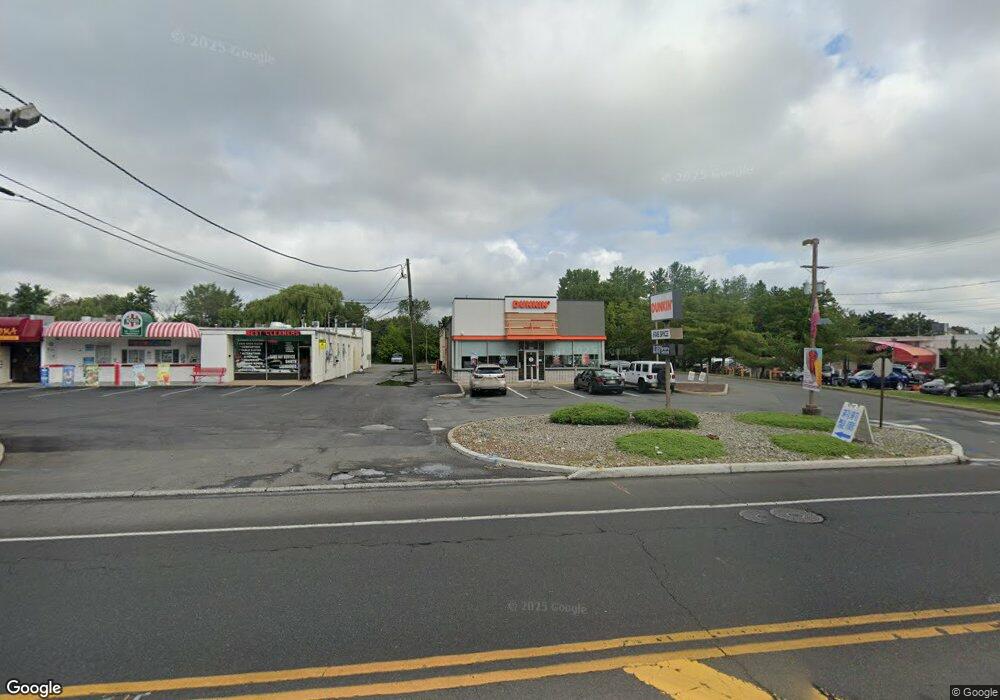
3171 State Route 27 Franklin Park, NJ 08823
Estimated Value: $2,613,902
--
Bed
--
Bath
4,080
Sq Ft
$641/Sq Ft
Est. Value
About This Home
This home is located at 3171 State Route 27, Franklin Park, NJ 08823 and is currently estimated at $2,613,902, approximately $640 per square foot. 3171 State Route 27 is a home with nearby schools including Franklin High School, St. Augustine of Canterbury School, and Cheder Menachem.
Ownership History
Date
Name
Owned For
Owner Type
Purchase Details
Closed on
Dec 13, 2012
Sold by
Mascia Thomas
Bought by
3171 Rt 27 Llc
Current Estimated Value
Purchase Details
Closed on
May 18, 1999
Sold by
3171 Route 27 Asso
Bought by
Mascia Thomas
Home Financials for this Owner
Home Financials are based on the most recent Mortgage that was taken out on this home.
Original Mortgage
$575,000
Interest Rate
6.88%
Mortgage Type
Commercial
Purchase Details
Closed on
Jul 12, 1988
Sold by
Polonyi Stephen and Polonyi Vilma
Bought by
3171 Route 27 Associates
Create a Home Valuation Report for This Property
The Home Valuation Report is an in-depth analysis detailing your home's value as well as a comparison with similar homes in the area
Home Values in the Area
Average Home Value in this Area
Purchase History
| Date | Buyer | Sale Price | Title Company |
|---|---|---|---|
| 3171 Rt 27 Llc | -- | None Available | |
| Mascia Thomas | $825,000 | -- | |
| 3171 Route 27 Associates | $190,000 | -- |
Source: Public Records
Mortgage History
| Date | Status | Borrower | Loan Amount |
|---|---|---|---|
| Previous Owner | Mascia Thomas | $575,000 |
Source: Public Records
Tax History Compared to Growth
Tax History
| Year | Tax Paid | Tax Assessment Tax Assessment Total Assessment is a certain percentage of the fair market value that is determined by local assessors to be the total taxable value of land and additions on the property. | Land | Improvement |
|---|---|---|---|---|
| 2025 | $19,833 | $1,100,000 | $621,000 | $479,000 |
| 2024 | $19,833 | $1,100,000 | $621,000 | $479,000 |
| 2023 | $21,142 | $1,100,000 | $621,000 | $479,000 |
| 2022 | $22,308 | $1,100,000 | $621,000 | $479,000 |
| 2021 | $31,513 | $1,100,000 | $621,000 | $479,000 |
| 2020 | $31,513 | $1,395,000 | $621,000 | $774,000 |
| 2019 | $31,904 | $1,395,000 | $621,000 | $774,000 |
| 2018 | $32,225 | $1,395,000 | $621,000 | $774,000 |
| 2017 | $32,350 | $1,395,000 | $621,000 | $774,000 |
| 2016 | $32,629 | $1,395,000 | $621,000 | $774,000 |
| 2015 | $32,406 | $1,395,000 | $621,000 | $774,000 |
| 2014 | $31,918 | $1,395,000 | $621,000 | $774,000 |
Source: Public Records
Map
Nearby Homes
- 69 Fisher Dr
- 9 Beekman Rd
- 108 Daniel Ct
- 81 Maria Ct
- 38 Colleen Ct
- 44 Crabapple Ln
- 107 Rachel Ct
- 147 Rachel Ct
- 205 Rachel Ct
- 167 Rachel Ct
- 181 Rachel Ct
- 89 Lindsey Ct Unit 4021
- 62 Claremont Rd
- 3241 Route 27
- 13 Pear Tree Ln
- 130 Lindsey Ct
- 75 Pear Tree Ln Unit 10C
- 124 Edward Dr
- 27 Topaz Dr
- 209 Lindsey Ct