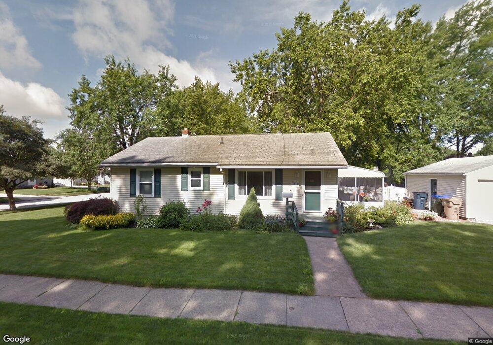
3172 Charles St Cuyahoga Falls, OH 44221
Mud Brook NeighborhoodEstimated Value: $200,000 - $222,000
3
Beds
2
Baths
1,120
Sq Ft
$184/Sq Ft
Est. Value
About This Home
This home is located at 3172 Charles St, Cuyahoga Falls, OH 44221 and is currently estimated at $205,905, approximately $183 per square foot. 3172 Charles St is a home located in Summit County with nearby schools including Lincoln Elementary School, Roberts Middle School, and Cuyahoga Falls High School.
Ownership History
Date
Name
Owned For
Owner Type
Purchase Details
Closed on
Oct 1, 2005
Sold by
Oliver Daniel R
Bought by
Oliver Carole J
Current Estimated Value
Purchase Details
Closed on
Apr 29, 1998
Sold by
Est Edna E Hamilton
Bought by
Oliver Daniel R and Oliver Carole J
Home Financials for this Owner
Home Financials are based on the most recent Mortgage that was taken out on this home.
Original Mortgage
$81,000
Interest Rate
7.18%
Mortgage Type
New Conventional
Create a Home Valuation Report for This Property
The Home Valuation Report is an in-depth analysis detailing your home's value as well as a comparison with similar homes in the area
Home Values in the Area
Average Home Value in this Area
Purchase History
| Date | Buyer | Sale Price | Title Company |
|---|---|---|---|
| Oliver Carole J | -- | None Available | |
| Oliver Daniel R | $102,000 | -- |
Source: Public Records
Mortgage History
| Date | Status | Borrower | Loan Amount |
|---|---|---|---|
| Previous Owner | Oliver Daniel R | $81,000 |
Source: Public Records
Tax History Compared to Growth
Tax History
| Year | Tax Paid | Tax Assessment Tax Assessment Total Assessment is a certain percentage of the fair market value that is determined by local assessors to be the total taxable value of land and additions on the property. | Land | Improvement |
|---|---|---|---|---|
| 2025 | $3,040 | $56,309 | $14,207 | $42,102 |
| 2024 | $3,040 | $56,309 | $14,207 | $42,102 |
| 2023 | $3,040 | $56,309 | $14,207 | $42,102 |
| 2022 | $2,722 | $40,950 | $10,220 | $30,730 |
| 2021 | $2,721 | $40,950 | $10,220 | $30,730 |
| 2020 | $2,677 | $40,950 | $10,220 | $30,730 |
| 2019 | $2,901 | $40,420 | $9,810 | $30,610 |
| 2018 | $2,464 | $40,420 | $9,810 | $30,610 |
| 2017 | $2,282 | $40,420 | $9,810 | $30,610 |
| 2016 | $2,283 | $37,940 | $9,810 | $28,130 |
| 2015 | $2,282 | $37,940 | $9,810 | $28,130 |
| 2014 | $2,283 | $37,940 | $9,810 | $28,130 |
| 2013 | $2,275 | $38,140 | $9,810 | $28,330 |
Source: Public Records
Map
Nearby Homes
- Greenfield Plan at Miller's Landing
- Riverton Plan at Miller's Landing
- Woodside Plan at Miller's Landing
- Willwood Plan at Miller's Landing
- Westchester Plan at Miller's Landing
- Amberwood Plan at Miller's Landing
- Hilltop Plan at Miller's Landing
- 435 Roanoke Ave
- 2950 Millboro Rd
- 3044 Millboro Rd
- 3320 Hudson Dr
- 306 Hollywood Ave
- 455 Marguerite Ave
- 419 Keenan Ave
- 2886 Norwood St
- 2934 Silver Lake Blvd
- 2834 Norwood St
- 2870 Kent Rd
- 2835 Bailey Rd
- 2890 Bailey Rd
- 759 Orrville Ave
- 766 Roanoke Ave
- 753 Orrville Ave
- 3167 Charles St
- 3171 Charles St
- 754 Roanoke Ave
- 3165 Charles St
- 3162 Charles St
- 760 Orrville Ave
- 3173 Charles St
- 3163 Charles St
- 748 Roanoke Ave
- 754 Orrville Ave
- 747 Orrville Ave
- 748 Orrville Ave
- 3157 Charles St
- 742 Roanoke Ave
- 3182 Saunders St
- 741 Orrville Ave
- 3189 Charles St