Estimated Value: $734,000 - $1,620,269
--
Bed
--
Bath
4,960
Sq Ft
$234/Sq Ft
Est. Value
About This Home
This home is located at 31720 S 622 Rd, Grove, OK 74344 and is currently estimated at $1,159,423, approximately $233 per square foot. 31720 S 622 Rd is a home located in Delaware County with nearby schools including Grove Lower Elementary School, Grove Upper Elementary School, and Grove Middle School.
Ownership History
Date
Name
Owned For
Owner Type
Purchase Details
Closed on
Jul 9, 2025
Sold by
Joseph And Sammie Ferguson Living Trust and Ferguson Joseph Michael
Bought by
Cousatte Arthur W
Current Estimated Value
Purchase Details
Closed on
Jan 6, 2023
Sold by
Ferguson Joe and Ferguson Sammie
Bought by
Joseph And Sammie Ferguson Living Trust
Purchase Details
Closed on
Jan 6, 2022
Sold by
Ferguson Joseph and Ferguson Sammie
Bought by
Joseph And Sammie Ferguson Living Trust
Purchase Details
Closed on
Dec 13, 2017
Sold by
Catfish Caviar Llc
Bought by
Ferguson Joseph and Ferguson Sammie
Home Financials for this Owner
Home Financials are based on the most recent Mortgage that was taken out on this home.
Original Mortgage
$681,000
Interest Rate
3.94%
Mortgage Type
Construction
Purchase Details
Closed on
Jan 22, 2016
Sold by
Coco Loco L L C
Bought by
Catfish Caviar L L C
Purchase Details
Closed on
Nov 30, 1972
Sold by
Conard Raymond B and Conard Mirlene E
Create a Home Valuation Report for This Property
The Home Valuation Report is an in-depth analysis detailing your home's value as well as a comparison with similar homes in the area
Home Values in the Area
Average Home Value in this Area
Purchase History
| Date | Buyer | Sale Price | Title Company |
|---|---|---|---|
| Cousatte Arthur W | -- | None Listed On Document | |
| Cousatte Arthur W | -- | None Listed On Document | |
| Joseph And Sammie Ferguson Living Trust | -- | -- | |
| Joseph And Sammie Ferguson Living Trust | -- | -- | |
| Ferguson Joseph | $345,000 | None Available | |
| Catfish Caviar L L C | -- | None Available | |
| -- | -- | -- |
Source: Public Records
Mortgage History
| Date | Status | Borrower | Loan Amount |
|---|---|---|---|
| Previous Owner | Ferguson Joseph | $681,000 |
Source: Public Records
Tax History Compared to Growth
Tax History
| Year | Tax Paid | Tax Assessment Tax Assessment Total Assessment is a certain percentage of the fair market value that is determined by local assessors to be the total taxable value of land and additions on the property. | Land | Improvement |
|---|---|---|---|---|
| 2024 | $10,669 | $131,319 | $40,307 | $91,012 |
| 2023 | $9,599 | $118,185 | $39,994 | $78,191 |
| 2022 | $9,498 | $117,347 | $39,963 | $77,384 |
| 2021 | $9,198 | $111,401 | $39,963 | $71,438 |
| 2020 | $9,358 | $111,497 | $39,963 | $71,534 |
| 2019 | $9,116 | $108,214 | $39,959 | $68,255 |
| 2017 | $5,217 | $64,333 | $64,333 | $0 |
| 2016 | $5,213,464 | $61,270 | $61,270 | $0 |
| 2015 | $4,797 | $55,574 | $55,229 | $345 |
| 2014 | $4,820 | $55,574 | $55,229 | $345 |
Source: Public Records
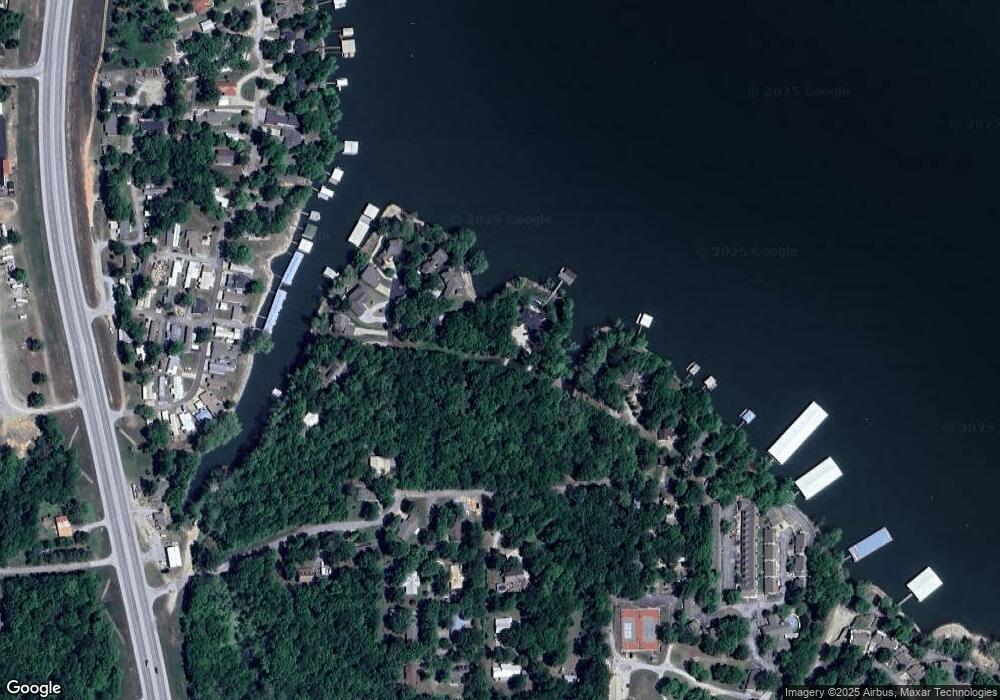
Map
Nearby Homes
- 62000 E 315 Loop Unit 47
- 62000 E 315 Loop Unit 62
- 62141 E 313 Rd Unit 3
- 62330 E 320 Rd
- 61860 E 316 Ln
- 31990 S 624 Place Unit 39
- 31990 S 624 Place Unit 6
- 31990 S 624 Place Unit 65
- 31990 S 624 Place Unit 73
- 31990 S 624 Place Unit 48
- 31990 S 624 Place Unit 34
- 31401 S 620 Rd
- 31595 S 618 Rd
- 31511 S 618 Rd
- 32250 S 620 Rd
- 0 E 322 Ln
- 62468 E 322 Ln
- 32172 S 618 Ln
- 31283 S 618 Rd
- 32020 S 627 Rd
- 62190 E 318 Rd
- 62290 E 318 Rd
- 62200 E 318 Rd
- 62210 E 318 Rd
- 31781 S 622 Rd
- 31699 S 622 Rd
- 31719 S 622 Rd
- 62199 E 318 Rd
- 31700 S 622 Rd
- 31701 S 622 Rd
- 31701 S 622 Rd
- 62151 E 318 Rd
- E E 318 Rd
- 31695 S 622 Rd
- 31830 S 622 Rd
- 31831 S 622 Rd
- 31694 S 622 Rd
- 31691 S 622 (#5) Rd
- 62141 E 318 Rd
- 62251 E 318 Rd