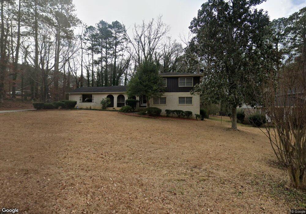
3179 Albatross Ln Unit II Decatur, GA 30034
Southwest DeKalb NeighborhoodEstimated Value: $262,355 - $356,000
4
Beds
3
Baths
2,449
Sq Ft
$124/Sq Ft
Est. Value
About This Home
This home is located at 3179 Albatross Ln Unit II, Decatur, GA 30034 and is currently estimated at $302,589, approximately $123 per square foot. 3179 Albatross Ln Unit II is a home located in DeKalb County with nearby schools including Bob Mathis Elementary School, Chapel Hill Middle School, and Southwest Dekalb High School.
Ownership History
Date
Name
Owned For
Owner Type
Purchase Details
Closed on
May 8, 2008
Sold by
Davis Sandra S
Bought by
Davis Willie and Davis Sandra S
Current Estimated Value
Home Financials for this Owner
Home Financials are based on the most recent Mortgage that was taken out on this home.
Original Mortgage
$172,144
Outstanding Balance
$108,419
Interest Rate
5.86%
Mortgage Type
FHA
Estimated Equity
$194,170
Purchase Details
Closed on
Dec 29, 1997
Sold by
Virgil William D
Bought by
Davis Sandra S
Home Financials for this Owner
Home Financials are based on the most recent Mortgage that was taken out on this home.
Original Mortgage
$110,042
Interest Rate
7.23%
Mortgage Type
FHA
Create a Home Valuation Report for This Property
The Home Valuation Report is an in-depth analysis detailing your home's value as well as a comparison with similar homes in the area
Home Values in the Area
Average Home Value in this Area
Purchase History
| Date | Buyer | Sale Price | Title Company |
|---|---|---|---|
| Davis Willie | -- | -- | |
| Davis Sandra S | -- | -- | |
| Davis Sandra S | $110,500 | -- |
Source: Public Records
Mortgage History
| Date | Status | Borrower | Loan Amount |
|---|---|---|---|
| Open | Davis Sandra S | $172,144 | |
| Previous Owner | Davis Sandra S | $110,042 |
Source: Public Records
Tax History Compared to Growth
Tax History
| Year | Tax Paid | Tax Assessment Tax Assessment Total Assessment is a certain percentage of the fair market value that is determined by local assessors to be the total taxable value of land and additions on the property. | Land | Improvement |
|---|---|---|---|---|
| 2025 | $2,901 | $97,480 | $14,000 | $83,480 |
| 2024 | $3,028 | $99,520 | $14,000 | $85,520 |
| 2023 | $3,028 | $88,080 | $14,000 | $74,080 |
| 2022 | $2,487 | $78,920 | $14,000 | $64,920 |
| 2021 | $2,227 | $67,640 | $8,880 | $58,760 |
| 2020 | $1,294 | $37,960 | $8,880 | $29,080 |
| 2019 | $1,187 | $35,160 | $8,880 | $26,280 |
| 2018 | $1,104 | $27,320 | $8,880 | $18,440 |
| 2017 | $844 | $24,520 | $8,880 | $15,640 |
| 2016 | $1,067 | $31,480 | $8,880 | $22,600 |
| 2014 | $838 | $24,720 | $8,880 | $15,840 |
Source: Public Records
Map
Nearby Homes
- 3109 Albatross Ln
- 3470 Albatross Ct
- 3114 Springside Crossing
- 3063 Kerr Dr
- 3429 Pheasant Ct Unit 1
- 3389 Boring Rd Unit 1
- 2977 Cascade Manor Dr
- 3349 Springside Ridge
- 3357 Huntwood Ct
- 3155 Tangerine Ct
- 3689 Laurie Woods Ln
- 3244 Harbor Woods Rd
- 3156 Tangerine Ct
- 3162 Tangerine Ct
- 3664 Preakness Dr
- 3457 Newberry Trail
- 3157 Olive Tree Ct Unit 3157
- 1959 Highgrove Ct
- 3254 Strawberry Ln
- 3132 Robindale Rd
- 3169 Albatross Ln
- 3107 Pheasant Dr
- 3101 Pheasant Dr
- 3119 Pheasant Dr
- 3159 Albatross Ln
- 3160 Quail Ct
- 3168 Albatross Ln
- 3178 Albatross Ln
- 3095 Pheasant Dr
- 3168 Quail Ct
- 0 Pheasant Dr Unit 8269088
- 3158 Albatross Ln
- 3178 Quail Ct
- 3089 Pheasant Dr
- 3100 Pheasant Dr
- 3108 Pheasant Dr
- 3152 Quail Ct
- 3149 Albatross Ln
- 3096 Pheasant Dr
- 4081 Windsor