318 Brayton Point Rd Westport, MA 02790
Acoaxet NeighborhoodEstimated Value: $1,473,000 - $2,531,000
2
Beds
2
Baths
2,900
Sq Ft
$727/Sq Ft
Est. Value
About This Home
This home is located at 318 Brayton Point Rd, Westport, MA 02790 and is currently estimated at $2,109,317, approximately $727 per square foot. 318 Brayton Point Rd is a home located in Bristol County with nearby schools including Alice A. Macomber Primary School, Westport Elementary School, and Westport Middle-High School.
Ownership History
Date
Name
Owned For
Owner Type
Purchase Details
Closed on
Nov 23, 2010
Sold by
Digate Charles J and Digate Deborah K
Bought by
Palepu Tr Krishna G and Palepu Laurie
Current Estimated Value
Purchase Details
Closed on
Mar 19, 1996
Sold by
Mcbride Arden Patricia and Mcbride Smith Cheryl A
Bought by
Digate Charles J and Digate Deborah K
Home Financials for this Owner
Home Financials are based on the most recent Mortgage that was taken out on this home.
Original Mortgage
$340,000
Interest Rate
6.97%
Mortgage Type
Purchase Money Mortgage
Create a Home Valuation Report for This Property
The Home Valuation Report is an in-depth analysis detailing your home's value as well as a comparison with similar homes in the area
Home Values in the Area
Average Home Value in this Area
Purchase History
| Date | Buyer | Sale Price | Title Company |
|---|---|---|---|
| Palepu Tr Krishna G | $1,150,000 | -- | |
| Digate Charles J | $212,500 | -- | |
| Digate Dcharles J | $70,833 | -- |
Source: Public Records
Mortgage History
| Date | Status | Borrower | Loan Amount |
|---|---|---|---|
| Previous Owner | Digate Dcharles J | $340,000 | |
| Previous Owner | Digate Dcharles J | $60,000 |
Source: Public Records
Tax History Compared to Growth
Tax History
| Year | Tax Paid | Tax Assessment Tax Assessment Total Assessment is a certain percentage of the fair market value that is determined by local assessors to be the total taxable value of land and additions on the property. | Land | Improvement |
|---|---|---|---|---|
| 2025 | $16,972 | $2,278,100 | $1,760,900 | $517,200 |
| 2024 | $15,693 | $2,030,100 | $1,631,500 | $398,600 |
| 2023 | $15,529 | $1,903,100 | $1,553,800 | $349,300 |
| 2022 | $14,979 | $1,879,000 | $1,553,800 | $325,200 |
| 2021 | $14,979 | $1,737,700 | $1,412,500 | $325,200 |
| 2020 | $13,685 | $1,623,400 | $1,356,000 | $267,400 |
| 2019 | $13,201 | $1,596,300 | $1,356,000 | $240,300 |
| 2018 | $13,735 | $1,681,200 | $1,455,200 | $226,000 |
| 2017 | $14,599 | $1,831,700 | $1,616,900 | $214,800 |
| 2016 | $12,823 | $1,621,100 | $1,437,300 | $183,800 |
| 2015 | $8,564 | $1,079,900 | $898,300 | $181,600 |
Source: Public Records
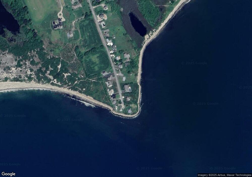
Map
Nearby Homes
- 304 Brayton Point Rd
- 189 Brayton Point Rd
- 18 Old Barn Rd
- 19 Seabury Ln
- 128 Maple Ave
- 255 John Dyer Rd
- 141 S Of Commons Rd
- 505 Long Hwy
- 1881 Main Rd
- 0 Reed Rd (Ss)
- 1749 Main Rd
- 245 John Dyer Rd
- 0 Willow Ave
- 1580 Main Rd
- 576 W Main Rd
- 1702J Drift Rd
- 536 W Main Rd
- 1702 Drift Rd
- 8 Taylors Ln
- 1346 Main Rd Unit B
- 314 Brayton Point Rd
- 324 Brayton Point Rd
- 321 Brayton Point Rd
- 325 Brayton Point Rd
- 327 Brayton Point Rd
- 317 Brayton Point Rd
- 331 Brayton Point Rd
- 329 Brayton Point Rd
- 306 Brayton Point Rd
- 332 Brayton Point Rd
- 311 Brayton Point Rd
- 300 Brayton Point Rd
- 302 Brayton Point Rd Unit WINTER
- 302 Brayton Point Rd
- 298 Brayton Point Rd
- 292 Brayton Point Rd
- 288 Brayton Point Rd
- 284 Brayton Point Rd
- 278 Brayton Point Rd
- 272 Brayton Point Rd