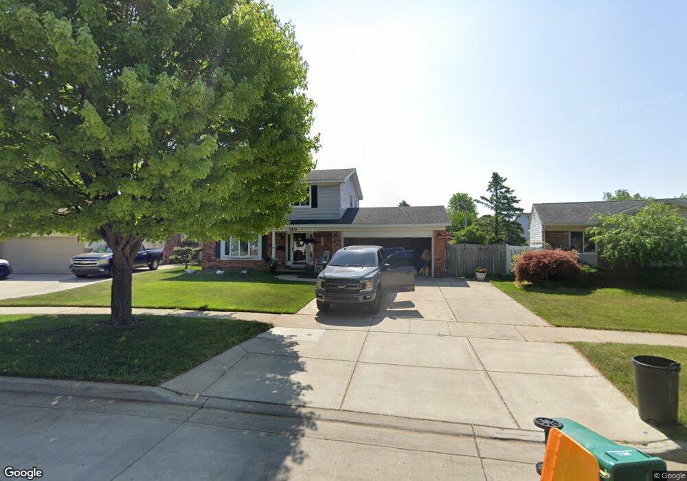
318 Cranbrook Blvd Monroe, MI 48162
Northwest Monroe NeighborhoodEstimated Value: $296,641 - $338,000
4
Beds
3
Baths
1,907
Sq Ft
$164/Sq Ft
Est. Value
About This Home
This home is located at 318 Cranbrook Blvd, Monroe, MI 48162 and is currently estimated at $312,660, approximately $163 per square foot. 318 Cranbrook Blvd is a home located in Monroe County with nearby schools including Monroe High School, St Mary's Catholic Elementary School, and St Michaels Catholic Elementary School.
Ownership History
Date
Name
Owned For
Owner Type
Purchase Details
Closed on
Dec 12, 1994
Sold by
Manworren Mickey
Bought by
Cheap Stanley O
Current Estimated Value
Home Financials for this Owner
Home Financials are based on the most recent Mortgage that was taken out on this home.
Original Mortgage
$126,500
Interest Rate
9.27%
Mortgage Type
New Conventional
Create a Home Valuation Report for This Property
The Home Valuation Report is an in-depth analysis detailing your home's value as well as a comparison with similar homes in the area
Home Values in the Area
Average Home Value in this Area
Purchase History
We collect this data history from publicly available records. To have your information removed, we recommend requesting removal directly through your county’s website.
| Date | Buyer | Sale Price | Title Company |
|---|---|---|---|
| Cheap Stanley O | $145,000 | -- |
Source: Public Records
Mortgage History
We collect this data history from publicly available records. To have your information removed, we recommend requesting removal directly through your county’s website.
| Date | Status | Borrower | Loan Amount |
|---|---|---|---|
| Closed | Cheap Stanley O | $126,500 |
Source: Public Records
Tax History
| Year | Tax Paid | Tax Assessment Tax Assessment Total Assessment is a certain percentage of the fair market value that is determined by local assessors to be the total taxable value of land and additions on the property. | Land | Improvement |
|---|---|---|---|---|
| 2025 | $3,296 | $155,500 | $155,500 | $0 |
| 2024 | $3,147 | $147,310 | $0 | $0 |
| 2023 | $3,009 | $115,380 | $0 | $0 |
| 2022 | $4,019 | $115,380 | $0 | $0 |
| 2021 | $3,871 | $103,420 | $0 | $0 |
| 2020 | $3,605 | $94,830 | $0 | $0 |
| 2019 | $3,796 | $94,830 | $0 | $0 |
| 2018 | $3,320 | $89,300 | $0 | $0 |
| 2017 | $3,251 | $89,300 | $0 | $0 |
| 2016 | $3,100 | $88,890 | $0 | $0 |
| 2015 | $3,315 | $79,530 | $0 | $0 |
| 2014 | $3,315 | $79,530 | $0 | $0 |
| 2013 | -- | $78,900 | $0 | $0 |
Source: Public Records
Map
Nearby Homes
- 238 Cranbrook Blvd
- 510 Ave de Lafayette
- 209 Orleans Ave
- 1855 N Custer Rd
- 568 Rose Crest Blvd
- 0 S Custer Lot B Rd
- 0 S Custer Lot A Rd
- 415 Theodore Dr
- 0 S Custer Lot C Rd
- 540 S Concetta Common
- 1910 S Custer Rd
- 529 John Rolfe Dr
- 2706 S Custer Rd
- 841 Scarlet Oak Dr
- 2742 S Custer Rd
- 0 N Telegraph Rd Unit 20230102531
- 0 N Telegraph Rd Unit 50199091
- 718 Waterloo Ave
- 943 Western Ave
- 2042 Cloverdale Dr
- 324 Cranbrook Blvd
- 312 Cranbrook Blvd
- 317 Ave de Lafayette
- 330 Cranbrook Blvd
- 321 Ave de Lafayette
- 315 Ave de Lafayette
- 308 Cranbrook Blvd
- 325 Ave de Lafayette
- 338 Cranbrook Blvd
- 311 Ave de Lafayette
- 304 Cranbrook Blvd
- 321 Cranbrook Blvd
- 311 Cranbrook Blvd
- 305 Ave de Lafayette
- 344 Cranbrook Blvd
- 337 Cranbrook Blvd
- 335 Ave de Lafayette
- 302 Cranbrook Blvd
- 244 Armitage Dr
- 303 Ave de Lafayette
Your Personal Tour Guide
Ask me questions while you tour the home.