318 Crawshaw Rd Dahlonega, GA 30533
Estimated Value: $514,995 - $797,000
--
Bed
2
Baths
2,414
Sq Ft
$273/Sq Ft
Est. Value
About This Home
This home is located at 318 Crawshaw Rd, Dahlonega, GA 30533 and is currently estimated at $658,999, approximately $272 per square foot. 318 Crawshaw Rd is a home located in Lumpkin County with nearby schools including Lumpkin County High School.
Ownership History
Date
Name
Owned For
Owner Type
Purchase Details
Closed on
Oct 31, 2024
Sold by
Crawshaw Rachel A
Bought by
Crawshaw Dale A and Crawshaw Rachel A
Current Estimated Value
Home Financials for this Owner
Home Financials are based on the most recent Mortgage that was taken out on this home.
Original Mortgage
$727,500
Interest Rate
6.12%
Mortgage Type
New Conventional
Purchase Details
Closed on
Jan 27, 2017
Bought by
Hardeman Communities Inc
Purchase Details
Closed on
Feb 20, 2009
Sold by
Crawshaw Dale
Bought by
Crawshaw Rachel A
Purchase Details
Closed on
Jan 22, 2009
Sold by
Crawshaw Dale
Bought by
Crawshaw Dale
Purchase Details
Closed on
Mar 21, 2006
Sold by
Not Provided
Bought by
Crawshaw Rachel
Purchase Details
Closed on
Jul 12, 2005
Bought by
Warsaw Dynamics Ltd
Create a Home Valuation Report for This Property
The Home Valuation Report is an in-depth analysis detailing your home's value as well as a comparison with similar homes in the area
Home Values in the Area
Average Home Value in this Area
Purchase History
| Date | Buyer | Sale Price | Title Company |
|---|---|---|---|
| Crawshaw Dale A | -- | -- | |
| Hardeman Communities Inc | $35,000 | -- | |
| Crawshaw Rachel A | -- | -- | |
| Crawshaw Dale | -- | -- | |
| Crawshaw Rachel | $40,000 | -- | |
| Warsaw Dynamics Ltd | $480,200 | -- |
Source: Public Records
Mortgage History
| Date | Status | Borrower | Loan Amount |
|---|---|---|---|
| Open | Crawshaw Dale A | $727,500 | |
| Previous Owner | Crawshaw Dale A | $727,500 |
Source: Public Records
Tax History Compared to Growth
Tax History
| Year | Tax Paid | Tax Assessment Tax Assessment Total Assessment is a certain percentage of the fair market value that is determined by local assessors to be the total taxable value of land and additions on the property. | Land | Improvement |
|---|---|---|---|---|
| 2024 | $1,005 | $148,236 | $23,400 | $124,836 |
| 2023 | $480 | $139,279 | $23,400 | $115,879 |
| 2022 | $548 | $122,521 | $13,680 | $108,841 |
| 2021 | $351 | $102,931 | $13,680 | $89,251 |
| 2020 | $328 | $100,160 | $13,680 | $86,480 |
| 2019 | $338 | $100,160 | $13,680 | $86,480 |
| 2018 | $248 | $89,465 | $13,680 | $75,785 |
| 2017 | $194 | $84,033 | $13,680 | $70,353 |
| 2016 | $2,304 | $77,036 | $13,680 | $63,356 |
| 2015 | $2,049 | $77,036 | $13,680 | $63,356 |
| 2014 | $2,049 | $77,724 | $13,680 | $64,044 |
| 2013 | -- | $78,412 | $13,680 | $64,732 |
Source: Public Records
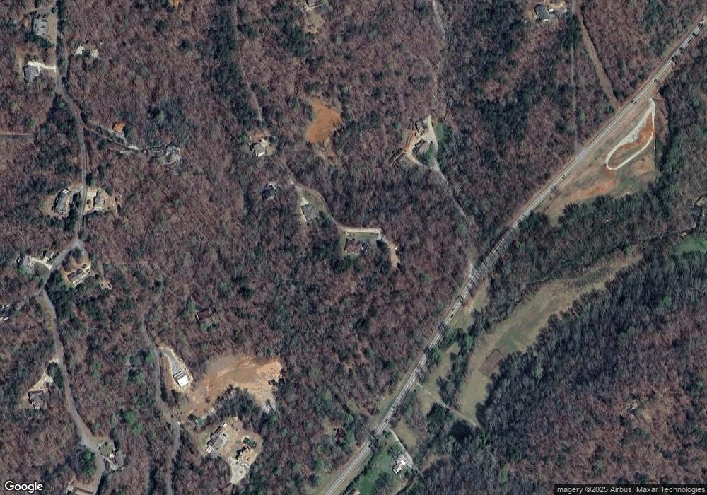
Map
Nearby Homes
- 2041 Long Branch Rd Unit TRACT 2A
- 2041 Long Branch Rd
- 0 Gold Crest Dr Unit 7623108
- 0 Gold Crest Dr Unit 10373986
- 209 Perkins Rd
- 201 Perkins Rd
- 205 Perkins Rd
- 245 Perkins Rd
- 72 Rustin Ridge Unit 276
- 247 Perkins Rd
- 422 Gold Crest Dr
- 0 Stamp Mill Dr
- 133 Stamp Mill Dr
- 668 Gold Cove Dr
- 134 Prospector Ridge
- 38 Cavender Run
- 0 Gold View Dr
- 1364 Birch River Dr
- 1259 Birch River Dr
- 228 Crawshaw Rd
- 220 Crawshaw Rd
- 2041 Long Branch Rd Unit TRACT 2B
- 2041 Long Branch Rd Unit 2A,2B,1C,2D
- 2041 Long Branch Rd
- 2041 Long Branch Rd Unit Lot 2A
- 180 Crawshaw Rd Unit 3
- 180 Crawshaw Rd
- 248 Chestnut Ridge Dr
- 248 Chestnut Ridge Dr
- 1869 Long Branch Rd
- 500 Chestnut Ridge Dr
- 0 Chestnut Ridge Rd Unit 6866368
- 0 Chestnut Ridge Rd Unit 8957378
- 0 Chestnut Ridge Rd Unit 8166493
- 0 Chestnut Ridge Rd Unit 7231858
- 0 Chestnut Ridge Rd Unit 7173775
- 0 Chestnut Ridge Rd Unit 2854039
- 0 Chestnut Ridge Rd
- 92 Chestnut Ridge Dr